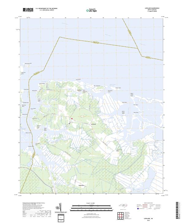
2022 Map of Lowland
USGS Topo · Published 2022About this map
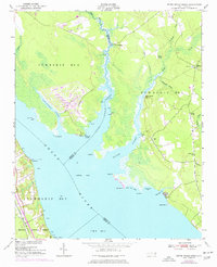
Goose Creek Island and the surrounding marshlands of Pamlico County define this coastal landscape, where the land fragmentizes into countless points and guts. The community of Lowland sits at the heart of this intricate network of waterways, connected by Lowland Rd to the southern settlement of Hobucken. The terrain is dominated by hydrologic features like Big Marsh Gut, Slade Landing Cr, and the Intracoastal Waterway, reflecting a landscape deeply influenced by its proximity to the Pamlico River.
Find a feature on this map
69 named features on this map. Tap any name to fly to it.
Don’t see what you’re looking for? This feature index may not catch every label — zoom into the map to look around manually.
Map Details
Editions of this 2022 Lowland Map
This is the sole edition of this map. No revisions or reprints were ever made.
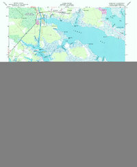
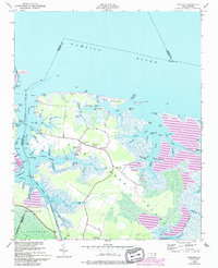
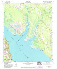
Historical Maps of Mill Seat Landing Through Time
15 maps found
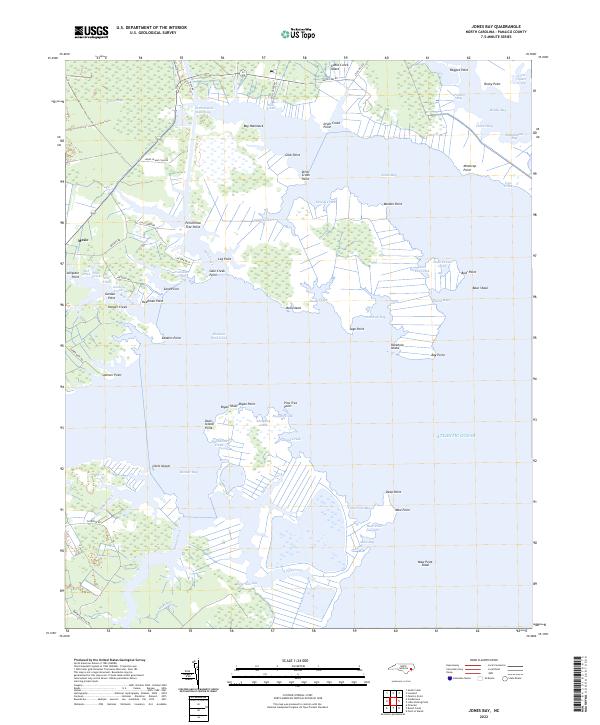
1950 Jones Bay
Pamlico County, NC
1950 Lowland
Pamlico County, NC
1950 Upper Broad Creek
Pamlico County, NC
1951 Little Fishing Point
Pamlico County, NC
1951 Upper Broad Creek
Pamlico County, NC
1969 Reelsboro
Pamlico County, NC
1994 Upper Broad Creek
Pamlico County, NC
2000 Little Fishing Point
Pamlico County, NC
2000 Lowland
Pamlico County, NC
2000 Reelsboro
Pamlico County, NC
2022 Jones Bay
Pamlico County, NC
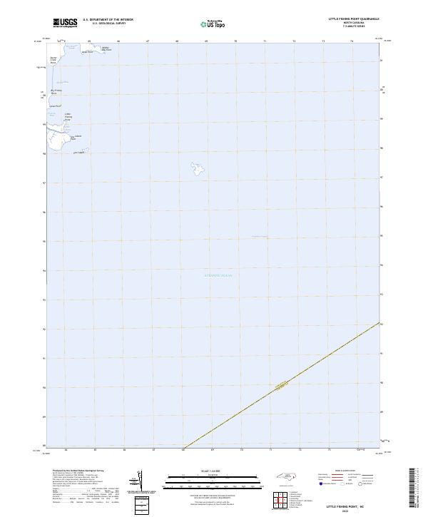
2022 Little Fishing Point
Pamlico County, NC
2022 Lowland
Pamlico County, NC
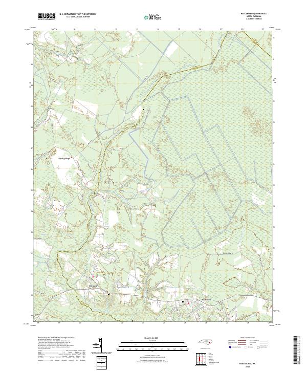
2022 Reelsboro
Pamlico County, NC
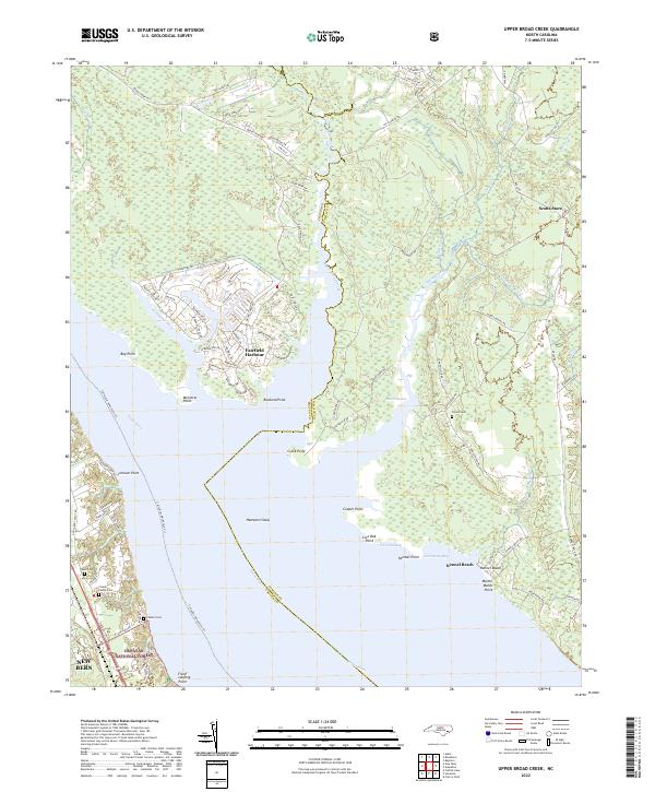
2022 Upper Broad Creek
Pamlico County, NC