2000s (21st Century) Maps of Olympia, North Carolina
Explore 6 historic maps of Olympia from the 2000s (21st Century). These maps offer a rare glimpse into what life looked like during the 2000s — showing old roads, neighborhoods, homes, and landmarks that have changed or disappeared over time.
Whether you're researching your family's past, planning a metal detecting trip, or studying how Olympia's landscape evolved across the 2000s, these high-resolution maps are a powerful tool for exploring the history of this region.
- Focus on a specific era: All maps on this page are from the 2000s, giving you a focused view of this time period.
- See what’s changed: Compare century-old streets, trails, and buildings to today's modern landscape using overlays and satellite layers.
- Research with precision: Use these maps for genealogy, historical research, land use analysis, or educational projects.
- View, download, or print: Maps are fully viewable online in high resolution, and can be downloaded or printed for your own records.
Start exploring Olympia's history through authentic maps from the 2000s. This is your window into the past.
Olympia, NC maps
(6)- 2000 Map of Reelsboro, 2001 Print
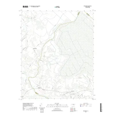
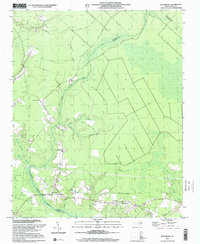 2000 Reelsboro2001 Print · USGSCoastal North Carolina at the turn of the millennium reveals a landscape defined by the winding Upper Broad Creek and its many tributary swamps. Researchers can trace family history through several mapped cemeteries including Hollywood Cem and Sand Hill Cem near Reelsboro.
 - 2010 Map of Reelsboro, 2010 Print
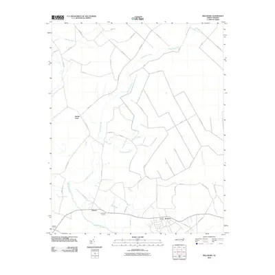 2010 Reelsboro2010 Print · USGSCovers Olympia, including Reelsboro, Spring Hope, and other nearby areas
 - 2013 Map of Reelsboro, 2013 Print
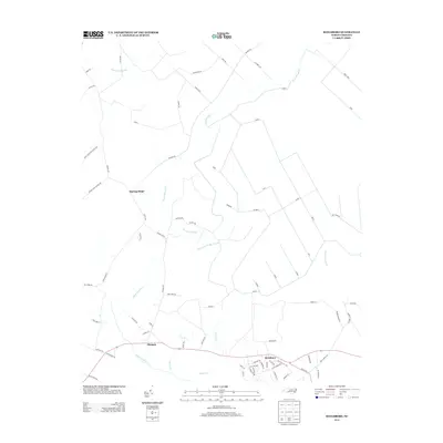 2013 Reelsboro2013 Print · USGSCovers Olympia, including Reelsboro, Spring Hope, and other nearby areas
 - 2016 Map of Reelsboro, 2016 Print
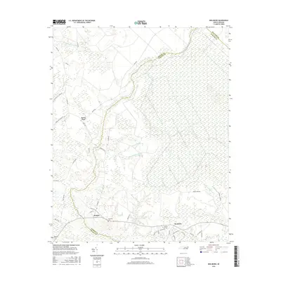 2016 Reelsboro2016 Print · USGSCovers Olympia, including Reelsboro, Spring Hope, and other nearby areas
 - 2019 Map of Reelsboro, 2019 Print
 2019 Reelsboro2019 Print · USGSCovers Olympia, including Reelsboro, Spring Hope, and other nearby areas
 - 2022 Map of Reelsboro, 2022 Print
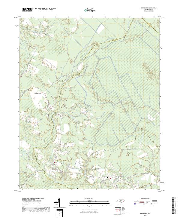 2022 Reelsboro2022 Print · USGSThe wetlands of Pamlico County come into focus in the early 2020s, revealing a landscape defined by expansive swamps and rural crossroads. Local researchers can locate family sites at Hollywood Cem and Sand Hill Cem or trace the drainage of Upper Broad Creek.
End of results
Showing maps 1-6 of 6
Top cities near Olympia
- New Bern historical maps
- Havelock historical maps
- James City historical maps
- Trent Woods historical maps
- Brices Creek historical maps
- River Bend historical maps
See more
Frequently asked questions
- What are the different types of historical maps available for Olympia?
- What is the oldest map of Olympia?
- Where can I purchase historical maps of Olympia for my home or office?
- Where can I download high-res historical maps of Olympia?
- Are there historical topographic maps available for Olympia?
- Is there historical aerial imagery available for Olympia?
- Where are historical maps of Olympia sourced from?