Old Maps of Stonewall, North Carolina for Metal Detecting
Plan your next treasure hunt with 21 historic maps of Stonewall. Find old homesites, ghost towns, trails, and gathering spots that may be lost to time — perfect for identifying promising metal detecting locations.
- Locate forgotten sites: Uncover places like long-lost settlements, abandoned rail lines, or gathering spots.
- Plan better hunts: Use map overlays combined with LiDAR or satellite views to narrow in on historically rich areas.
- Made for detectorists: Thousands of hobbyists use these maps to discover relics, coins, and hidden history.
Use these historic maps to boost your research and find new opportunities beneath the surface of Stonewall.
Stonewall, NC maps
(21)- 1948 Map of Oriental, 1992 Print
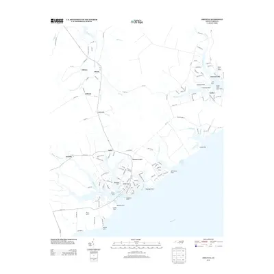
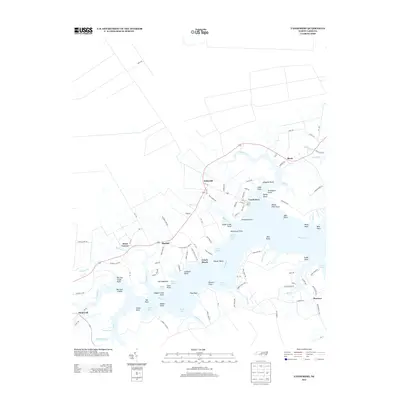
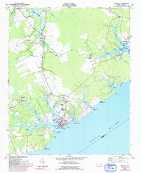 1948 Oriental1992 Print · USGSThe coastal waters of Pamlico County meet the riverfront during the post-war era, showing the maritime heart of the region. Local historians can trace the growth of Oriental and locate rural landmarks like Pilgrim Chapel, Whortonsville, and Bethel Ch.
 - 1950 Map of Vandemere, 1952 Print
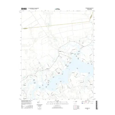
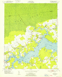 1950 Vandemere1952 Print · USGSCoastal Pamlico County is captured here in the early fifties, showing a landscape shaped by the Bay River and the local timber rail line. Genealogists and historians can locate numerous rural landmarks like Maribel Sch, St Galilee Ch, and the old settlement at Cash Corner.4 unique versions available
 - 1953 Map of Rocky Mount, 1964 Print
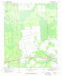
 1953 Rocky Mount1964 Print · USGSEastern North Carolina in the mid-fifties is defined by its deep river basins and the vast wetlands of the Tidewater. Genealogists can trace family roots through hubs like Kinston and New Bern or explore the wilderness of Pettigrew State Park and Lake Mattamuskeet.4 unique versions available
 - 1954 Map of Rocky Mount
 1954 Rocky Mount1954 Print · USGSEastern North Carolina is mapped in the mid-fifties, showing a landscape of sounds, swamps, and steam-era rail lines. Genealogists can trace the rural road networks and rail spurs connecting towns like Tarboro, Greenville, and the remote Columbia.
 - 1968 Map of Bayboro, 1970 Print
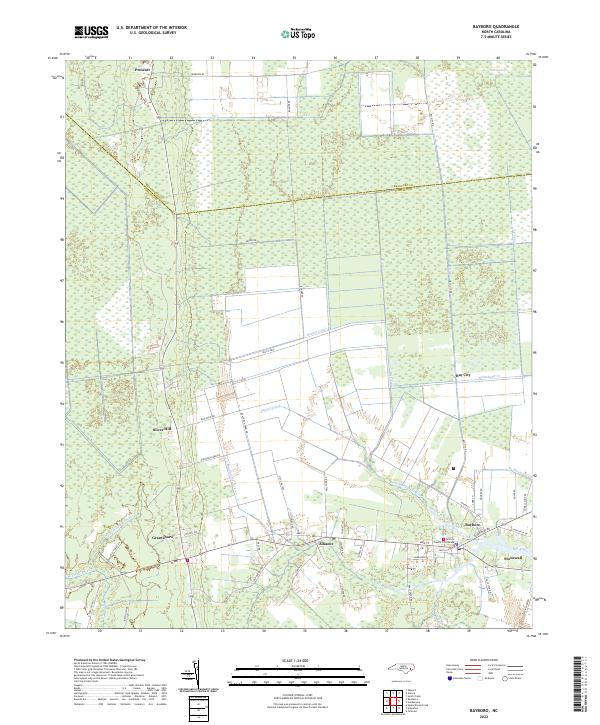
 1968 Bayboro1970 Print · USGSCoastal Pamlico County was a landscape of rail and river commerce in the late sixties. Trace the Norfolk Southern line through Grantsboro or locate local landmarks like St Marks Ch and the Central Sch in Bayboro.3 unique versions available
 - 1985 Map of Bayboro, 1990 Print
 1985 Bayboro1990 Print · USGSCoastal Pamlico and Beaufort counties are shown in the mid-eighties as a maritime landscape of protected wetlands and river-mouth settlements. Researchers can trace the layout of waterfront towns like Oriental, Bayboro, and the historic village of Bath amidst the Pamlico Sound.
 - 2010 Map of Bayboro, 2010 Print
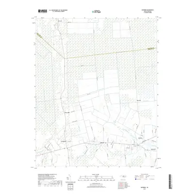
 2010 Bayboro2010 Print · USGSCovers Stonewall, including Bayboro, Alliance, and other nearby areas
 - 2010 Map of Oriental, 2010 Print
 2010 Oriental2010 Print · USGSCovers Stonewall, including Oriental, Merritt, and other nearby areas
 - 2010 Map of Vandemere, 2010 Print
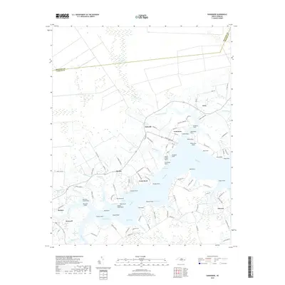
 2010 Vandemere2010 Print · USGSCovers Stonewall, including Bayboro, Vandemere, and other nearby areas
 - 2013 Map of Bayboro, 2013 Print
 2013 Bayboro2013 Print · USGSCovers Stonewall, including Bayboro, Alliance, and other nearby areas
 - 2013 Map of Oriental, 2013 Print
 2013 Oriental2013 Print · USGSCovers Stonewall, including Oriental, Merritt, and other nearby areas
 - 2013 Map of Vandemere, 2013 Print
 2013 Vandemere2013 Print · USGSCovers Stonewall, including Bayboro, Vandemere, and other nearby areas
 - 2016 Map of Bayboro, 2016 Print
 2016 Bayboro2016 Print · USGSCovers Stonewall, including Bayboro, Alliance, and other nearby areas
 - 2016 Map of Vandemere, 2016 Print
 2016 Vandemere2016 Print · USGSCovers Stonewall, including Bayboro, Vandemere, and other nearby areas
 - 2016 Map of Oriental, 2016 Print
 2016 Oriental2016 Print · USGSCovers Stonewall, including Oriental, Merritt, and other nearby areas
 - 2019 Map of Bayboro, 2019 Print
 2019 Bayboro2019 Print · USGSCovers Stonewall, including Bayboro, Alliance, and other nearby areas
 - 2019 Map of Vandemere, 2019 Print
 2019 Vandemere2019 Print · USGSCovers Stonewall, including Bayboro, Vandemere, and other nearby areas
 - 2019 Map of Oriental, 2019 Print
 2019 Oriental2019 Print · USGSCovers Stonewall, including Oriental, Merritt, and other nearby areas
 - 2022 Map of Bayboro, 2022 Print
 2022 Bayboro2022 Print · USGSCoastal Pamlico County is documented in the early 2020s, showing the intersection of maritime life and inland drainage. Local historians can trace family-named routes and community centers from the Pamlico County Courthouse to rural Bay City and Silver Hill.
 - 2022 Map of Vandemere, 2022 Print
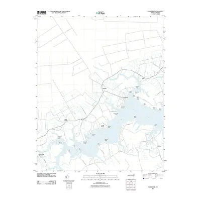
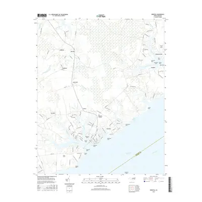
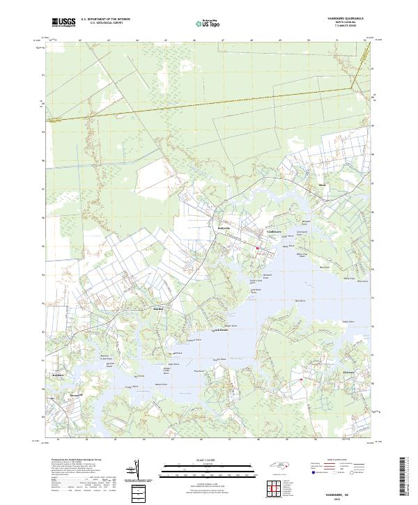 2022 Vandemere2022 Print · USGSThe Pamlico County waterfront comes alive in this recent survey of the Bay River estuary and its surrounding creek-side communities. Genealogists and local historians can trace family land via Sadler Farm Rd or locate landmarks like Graveyard Point and Poorhouse Point.
 - 2022 Map of Oriental, 2022 Print
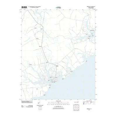
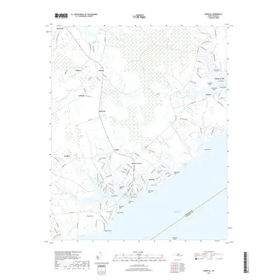
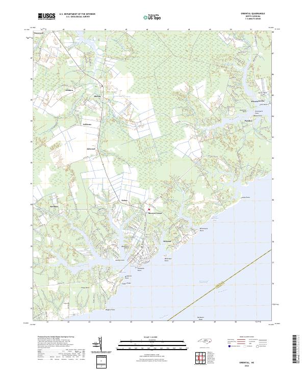 2022 Oriental2022 Print · USGSThe coastal village of Oriental and the surrounding Pamlico County waterfront are shown in detail as they appeared in 2022. Local researchers can trace family landmarks at Moores Corner, explore the shoreline of Broad Creek, or locate the Benton Farm Airport.
End of results
Showing maps 1-21 of 21
Top cities near Stonewall
- Havelock historical maps
- Fairfield Harbour historical maps
- Bayboro historical maps
- Oriental historical maps
- Alliance historical maps
- Grantsboro historical maps
See more
Frequently asked questions
- What are the different types of historical maps available for Stonewall?
- What is the oldest map of Stonewall?
- Where can I purchase historical maps of Stonewall for my home or office?
- Where can I download high-res historical maps of Stonewall?
- Are there historical topographic maps available for Stonewall?
- Is there historical aerial imagery available for Stonewall?
- Where are historical maps of Stonewall sourced from?