Old Maps of Elizabeth City, North Carolina for Genealogy
Trace your family roots with 18 historic maps of Elizabeth City. These high-res maps reveal old neighborhoods, homesites, landmarks, and streets — helping you uncover where your ancestors lived and how the area evolved over time.
- Explore historic neighborhoods: Identify where your relatives may have lived in the 1800s or 1900s.
- Compare maps over time: Trace the changes in streets, buildings, and landmarks for multi-generational research.
- Perfect for genealogy & ancestry research: Used by family historians and researchers to map out lineage and migration.
These maps are an incredible resource for exploring your personal connection to Elizabeth City's past.
Elizabeth City, NC maps
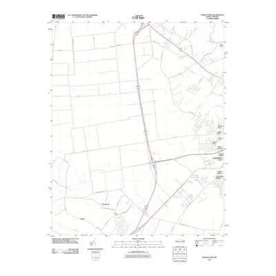
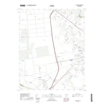
(18)- 1940 Map of South Mills, 1976 Print
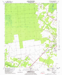
 1940 South Mills1976 Print · USGSCamden and Pasquotank counties are shown in the early 1940s as communities navigated the edges of the Dismal Swamp. Genealogists can locate family-named hubs like Pierceville and Johnsons Corner or trace the Norfolk Southern Railroad line.
 - 1948 Map of Elizabeth City
 1948 Elizabeth City1948 Print · USGSCoastal North Carolina at the end of the 1940s reveals a landscape of massive swamps and vital rail corridors. Genealogists and historians can trace family-named crossroads like Hastings Corner and Smiths Corner, or locate the old Lumber Mill and Norfolk Southern Railroad stops.2 unique versions available
 - 1952 Map of South Mills
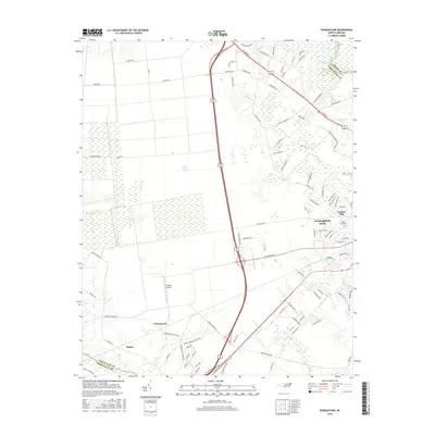
 1952 South Mills1952 Print · USGSCoastal North Carolina at mid-century reveals a complex network of timber mills and canal-side hamlets bordering the great wetlands. Trace ancestral roots and early industry through family landmarks like Lynchs Corner, the Dismal Swamp Canal, and Burnt Mills.
 - 1953 Map of Norfolk, 1954 Print
 1953 Norfolk1954 Print · USGSCoastal Virginia and northeastern North Carolina appear here during the post-war industrial boom, showing the critical rail-and-sea connections of Hampton Roads. Genealogists can trace family roots through rural landmarks like Gethsemane Ch, the Caledonia State Prison Farm, and the vast interior of the Dismal Swamp.4 unique versions available
 - 1982 Map of Pasquotank
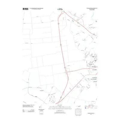
 1982 Pasquotank1982 Print · USGSIn the early 1980s, the edge of the Great Dismal Swamp met the expanding infrastructure of Elizabeth City and the Pasquotank River. Researchers can trace the layout of community landmarks like Albemarle Academy, Samuel Chapel, and the industrial corridors of the NORFOLK SOUTHERN railroad.
 - 1982 Map of Elizabeth City, 1983 Print
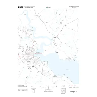
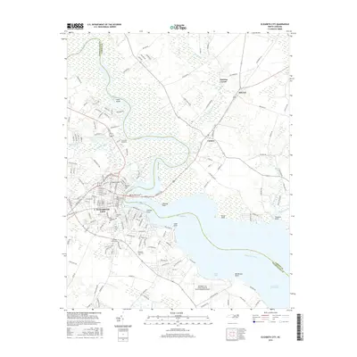
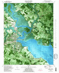 1982 Elizabeth City1983 Print · USGSElizabeth City and its surroundings are captured in the early 1980s during a period of steady growth along the Pasquotank River. Genealogists and historians can trace the foundations of Elizabeth City State University, the U S Coast Guard Air Base, and community landmarks like Sawyers Creek Ch.2 unique versions available
 - 1985 Map of Elizabeth City
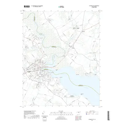
 1985 Elizabeth City1985 Print · USGSCoastal North Carolina's rivers and sounds define the landscape of the mid-eighties, from the vast swamps to the historical waterfronts of Elizabeth City and Edenton. Researchers can trace the rail lines of the Southern Ry or locate landmarks like Beaver Hill Cem and South Mills.2 unique versions available
 - 1997 Map of Elizabeth City, 2000 Print
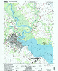 1997 Elizabeth City2000 Print · USGSElizabeth City and its surroundings in the late twentieth century highlight a riverfront community shaped by maritime traffic and aviation. Genealogists and local historians can trace family locations near Sawyers Creek Church, New Oak Grove Cemetery, or the rural crossroads at Hastings Corner.
 - 2010 Map of Elizabeth City, 2010 Print
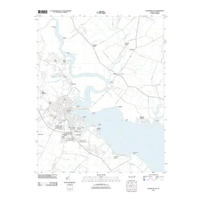 2010 Elizabeth City2010 Print · USGSCovers Elizabeth City, including Hastings Corner, Camden, and other nearby areas
 - 2010 Map of Pasquotank, 2010 Print
 2010 Pasquotank2010 Print · USGSCovers Elizabeth City, including Okisko, Pasquotank, and other nearby areas
 - 2013 Map of Pasquotank, 2013 Print
 2013 Pasquotank2013 Print · USGSCovers Elizabeth City, including Okisko, Pasquotank, and other nearby areas
 - 2013 Map of Elizabeth City, 2013 Print
 2013 Elizabeth City2013 Print · USGSCovers Elizabeth City, including Hastings Corner, Camden, and other nearby areas
 - 2016 Map of Pasquotank, 2016 Print
 2016 Pasquotank2016 Print · USGSCovers Elizabeth City, including Okisko, Pasquotank, and other nearby areas
 - 2016 Map of Elizabeth City, 2016 Print
 2016 Elizabeth City2016 Print · USGSCovers Elizabeth City, including Hastings Corner, Camden, and other nearby areas
 - 2019 Map of Pasquotank, 2019 Print
 2019 Pasquotank2019 Print · USGSCovers Elizabeth City, including Okisko, Pasquotank, and other nearby areas
 - 2019 Map of Elizabeth City, 2019 Print
 2019 Elizabeth City2019 Print · USGSCovers Elizabeth City, including Hastings Corner, Camden, and other nearby areas
 - 2022 Map of Elizabeth City, 2022 Print
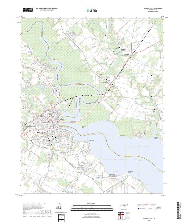 2022 Elizabeth City2022 Print · USGSElizabeth City and the surrounding coastal plain of the Albemarle region are shown here in the early twenty-first century. Genealogists and local historians can locate many family-named landmarks, including Boushall Cem, Enoch Sawyer Cem, and the Elizabeth City State University campus.
 - 2022 Map of Pasquotank, 2022 Print
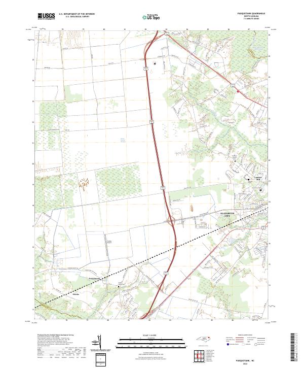 2022 Pasquotank2022 Print · USGSCoastal North Carolina comes to life in the early 2020s as the suburbs of Elizabeth City meet the wild Great Dismal Swamp. Genealogists can locate several family burial grounds, including the Pritchard Family Cem, and trace the industrial legacy of the Lumber Mill.
End of results
Showing maps 1-18 of 18
Top cities near Elizabeth City
Top neighborhoods of Elizabeth City
- Tanglewood historical maps
- Chapell Gardens historical maps
- Harbor Bay Townhomes historical maps
- Oxford Heights historical maps
- Brookridge Terrace historical maps
- Rosewood historical maps
See more
Frequently asked questions
- What are the different types of historical maps available for Elizabeth City?
- What is the oldest map of Elizabeth City?
- Where can I purchase historical maps of Elizabeth City for my home or office?
- Where can I download high-res historical maps of Elizabeth City?
- Are there historical topographic maps available for Elizabeth City?
- Is there historical aerial imagery available for Elizabeth City?
- Where are historical maps of Elizabeth City sourced from?