Old Maps of Ivy Trace, Pasquotank County for Metal Detecting
Plan your next treasure hunt with 20 historic maps of Ivy Trace. Find old homesites, ghost towns, trails, and gathering spots that may be lost to time — perfect for identifying promising metal detecting locations.
- Locate forgotten sites: Uncover places like long-lost settlements, abandoned rail lines, or gathering spots.
- Plan better hunts: Use map overlays combined with LiDAR or satellite views to narrow in on historically rich areas.
- Made for detectorists: Thousands of hobbyists use these maps to discover relics, coins, and hidden history.
Use these historic maps to boost your research and find new opportunities beneath the surface of Ivy Trace.
Ivy Trace, Pasquotank County maps
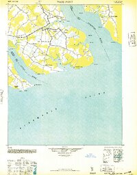
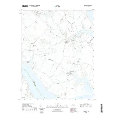
(20)- 1940 Map of Wade Point, 1973 Print
 1940 Wade Point1973 Print · USGSCoastal Pasquotank County at the start of the 1940s shows a landscape of tidewater farming and strategic military aviation. Genealogists and historians can trace family locations near Weeksville, the Air Base, and the fishing grounds of the Frog Island Fishing Club.
 - 1943 Map of Wade Point
 1943 Wade Point1943 Print · USGSThe North Carolina tidewater during the mid-forties is captured here as coastal defense and local life intersect along the Pasquotank River. Trace wartime activity at the Naval Air Base or explore rural settlements like Old Trap, Weeksville, and Listers Corner.
 - 1948 Map of Wade Point
 1948 Wade Point1948 Print · USGSCoastal Pasquotank County is seen here in the late 1940s, where the river-rich landscape meets the sound. Genealogists can trace family names and small hubs like Weeksville, Listers Corner, and the Frog Island Fishing Club along the intricate marshes and creeks.2 unique versions available
 - 1948 Map of Elizabeth City
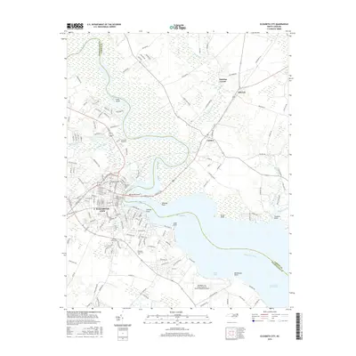
 1948 Elizabeth City1948 Print · USGSCoastal North Carolina at the end of the 1940s reveals a landscape of massive swamps and vital rail corridors. Genealogists and historians can trace family-named crossroads like Hastings Corner and Smiths Corner, or locate the old Lumber Mill and Norfolk Southern Railroad stops.2 unique versions available
 - 1953 Map of Norfolk, 1954 Print
 1953 Norfolk1954 Print · USGSCoastal Virginia and northeastern North Carolina appear here during the post-war industrial boom, showing the critical rail-and-sea connections of Hampton Roads. Genealogists can trace family roots through rural landmarks like Gethsemane Ch, the Caledonia State Prison Farm, and the vast interior of the Dismal Swamp.4 unique versions available
 - 1982 Map of Weeksville
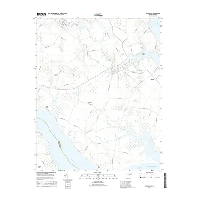
 1982 Weeksville1982 Print · USGSCoastal Pasquotank County is seen here in the early eighties as a landscape of tidewater creeks and established rural communities. Trace the grounds of the USCG Airbase or locate local landmarks like Newbegun Ch and Listers Corner near the Albemarle Sound.
 - 1982 Map of Elizabeth City, 1983 Print
 1982 Elizabeth City1983 Print · USGSElizabeth City and its surroundings are captured in the early 1980s during a period of steady growth along the Pasquotank River. Genealogists and historians can trace the foundations of Elizabeth City State University, the U S Coast Guard Air Base, and community landmarks like Sawyers Creek Ch.2 unique versions available
 - 1985 Map of Elizabeth City
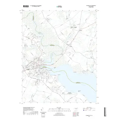
 1985 Elizabeth City1985 Print · USGSCoastal North Carolina's rivers and sounds define the landscape of the mid-eighties, from the vast swamps to the historical waterfronts of Elizabeth City and Edenton. Researchers can trace the rail lines of the Southern Ry or locate landmarks like Beaver Hill Cem and South Mills.2 unique versions available
 - 1997 Map of Elizabeth City, 2000 Print
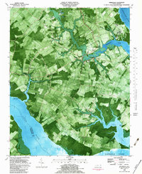
 1997 Elizabeth City2000 Print · USGSElizabeth City and its surroundings in the late twentieth century highlight a riverfront community shaped by maritime traffic and aviation. Genealogists and local historians can trace family locations near Sawyers Creek Church, New Oak Grove Cemetery, or the rural crossroads at Hastings Corner.
 - 1997 Map of Weeksville, 2000 Print
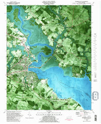
 1997 Weeksville2000 Print · USGSThe Pasquotank River peninsula comes into focus in the late nineties, showing a coastal landscape defined by its waters and military presence. Genealogists and local historians can trace family-named landmarks and old congregations like Symonds Creek Tabernacle, Listers Corner, and Newbegun Ch.
 - 2010 Map of Elizabeth City, 2010 Print
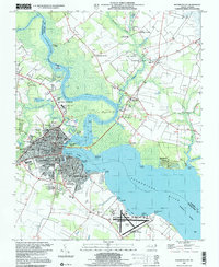
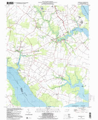
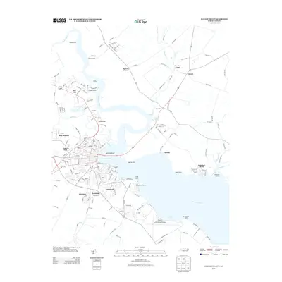
 2010 Elizabeth City2010 Print · USGSCovers Ivy Trace, including Elizabeth City, Hastings Corner, and other nearby areas
 - 2010 Map of Weeksville, 2010 Print
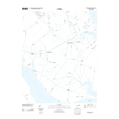
 2010 Weeksville2010 Print · USGSCovers Ivy Trace, including Bob White Fork, Salem, and other nearby areas
 - 2013 Map of Weeksville, 2013 Print
 2013 Weeksville2013 Print · USGSCovers Ivy Trace, including Bob White Fork, Salem, and other nearby areas
 - 2013 Map of Elizabeth City, 2013 Print
 2013 Elizabeth City2013 Print · USGSCovers Ivy Trace, including Elizabeth City, Hastings Corner, and other nearby areas
 - 2016 Map of Weeksville, 2016 Print
 2016 Weeksville2016 Print · USGSCovers Ivy Trace, including Bob White Fork, Salem, and other nearby areas
 - 2016 Map of Elizabeth City, 2016 Print
 2016 Elizabeth City2016 Print · USGSCovers Ivy Trace, including Elizabeth City, Hastings Corner, and other nearby areas
 - 2019 Map of Elizabeth City, 2019 Print
 2019 Elizabeth City2019 Print · USGSCovers Ivy Trace, including Elizabeth City, Hastings Corner, and other nearby areas
 - 2019 Map of Weeksville, 2019 Print
 2019 Weeksville2019 Print · USGSCovers Ivy Trace, including Bob White Fork, Salem, and other nearby areas
 - 2022 Map of Elizabeth City, 2022 Print
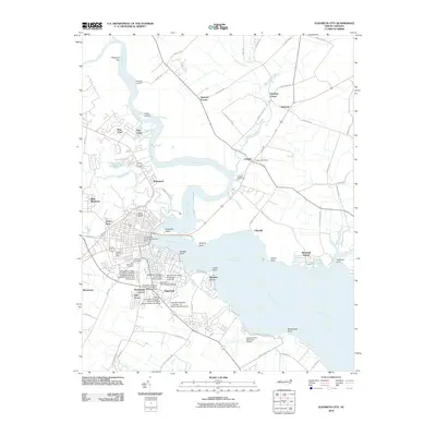
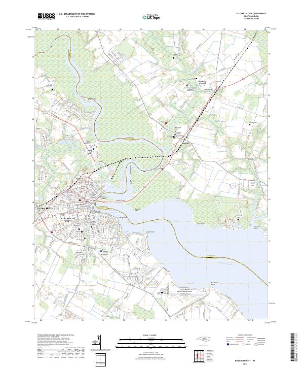 2022 Elizabeth City2022 Print · USGSElizabeth City and the surrounding coastal plain of the Albemarle region are shown here in the early twenty-first century. Genealogists and local historians can locate many family-named landmarks, including Boushall Cem, Enoch Sawyer Cem, and the Elizabeth City State University campus.
 - 2022 Map of Weeksville, 2022 Print
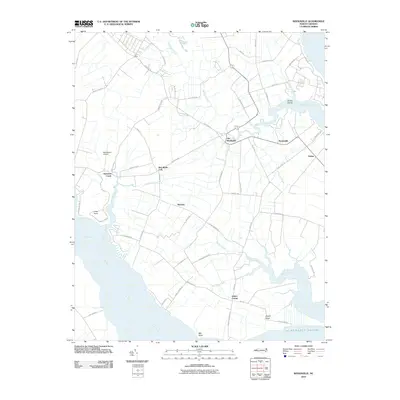
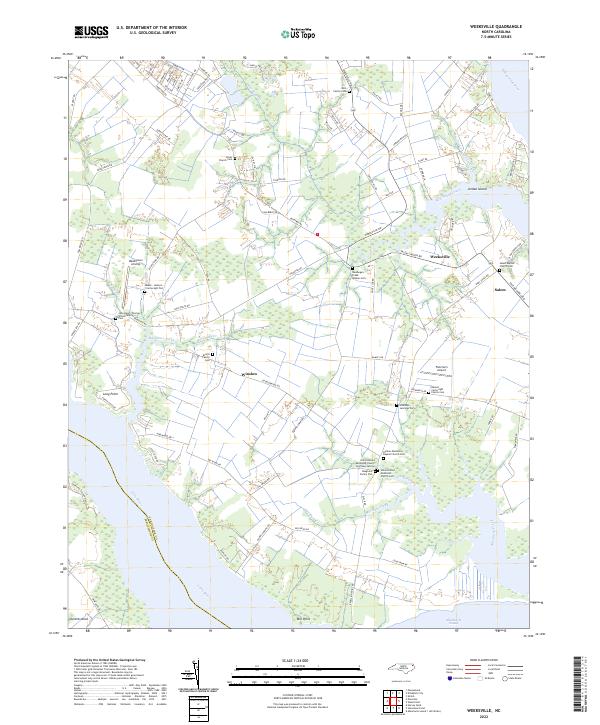 2022 Weeksville2022 Print · USGSThe Pasquotank County coastline near the Albemarle Sound is revealed in this modern survey. Genealogists can trace numerous family burial sites, including the Meads-Jackson Cartwright Plot and Newbegun Creek Quaker Cem.
End of results
Showing maps 1-20 of 20
Frequently asked questions
- What are the different types of historical maps available for Ivy Trace?
- What is the oldest map of Ivy Trace?
- Where can I purchase historical maps of Ivy Trace for my home or office?
- Where can I download high-res historical maps of Ivy Trace?
- Are there historical topographic maps available for Ivy Trace?
- Is there historical aerial imagery available for Ivy Trace?
- Where are historical maps of Ivy Trace sourced from?