Old Maps of Forestburg, North Carolina for Metal Detecting
Plan your next treasure hunt with 10 historic maps of Forestburg. Find old homesites, ghost towns, trails, and gathering spots that may be lost to time — perfect for identifying promising metal detecting locations.
- Locate forgotten sites: Uncover places like long-lost settlements, abandoned rail lines, or gathering spots.
- Plan better hunts: Use map overlays combined with LiDAR or satellite views to narrow in on historically rich areas.
- Made for detectorists: Thousands of hobbyists use these maps to discover relics, coins, and hidden history.
Use these historic maps to boost your research and find new opportunities beneath the surface of Forestburg.
Forestburg, NC maps
(10)- 1906 Map of Hertford
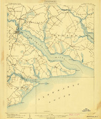 1906 Hertford1906 Print · USGSThe coastal plains of North Carolina near the Albemarle Sound are captured here during a period of river-reliant commerce and early rail growth. Researchers can trace the waterfront legacy of Hertford, the routes of the Norfolk and Southern RR, and rural post offices like Durants Neck PO.3 unique versions available
 - 1940 Map of Hertford
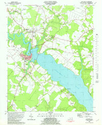
 1940 Hertford1940 Print · USGSThe coastal necks of Perquimans County are caught here in the early 1940s, showing a landscape defined by its deep relationship with the Albemarle Sound. Researchers can trace the waterfront history of Hertford or locate rural sites like the Durants Neck P O and Pleasant Grove Church.2 unique versions available
 - 1953 Map of Norfolk, 1954 Print
 1953 Norfolk1954 Print · USGSCoastal Virginia and northeastern North Carolina appear here during the post-war industrial boom, showing the critical rail-and-sea connections of Hampton Roads. Genealogists can trace family roots through rural landmarks like Gethsemane Ch, the Caledonia State Prison Farm, and the vast interior of the Dismal Swamp.4 unique versions available
 - 1982 Map of Hertford
 1982 Hertford1982 Print · USGSThe riverfront culture of Perquimans County is on full display in the early 1980s as Hertford and Winfall straddle the water. Trace the footprints of rural life through family-named landmarks like Smithtown and numerous local meeting houses like Oak Hill Ch and Poplar Run Ch.
 - 1985 Map of Elizabeth City
 1985 Elizabeth City1985 Print · USGSCoastal North Carolina's rivers and sounds define the landscape of the mid-eighties, from the vast swamps to the historical waterfronts of Elizabeth City and Edenton. Researchers can trace the rail lines of the Southern Ry or locate landmarks like Beaver Hill Cem and South Mills.2 unique versions available
 - 2010 Map of Hertford, 2010 Print
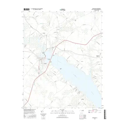
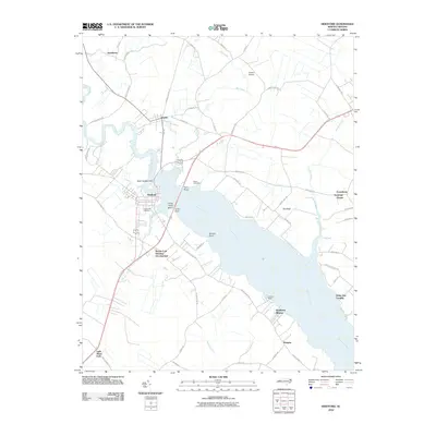 2010 Hertford2010 Print · USGSCovers Forestburg, including Hertford, Winfall, and other nearby areas
 - 2013 Map of Hertford, 2013 Print
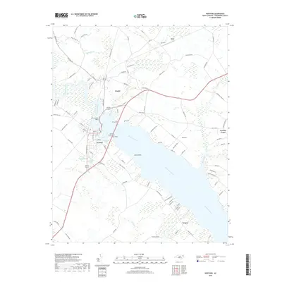
 2013 Hertford2013 Print · USGSCovers Forestburg, including Hertford, Winfall, and other nearby areas
 - 2016 Map of Hertford, 2016 Print
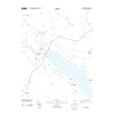
 2016 Hertford2016 Print · USGSCovers Forestburg, including Hertford, Winfall, and other nearby areas
 - 2019 Map of Hertford, 2019 Print
 2019 Hertford2019 Print · USGSCovers Forestburg, including Hertford, Winfall, and other nearby areas
 - 2022 Map of Hertford, 2022 Print
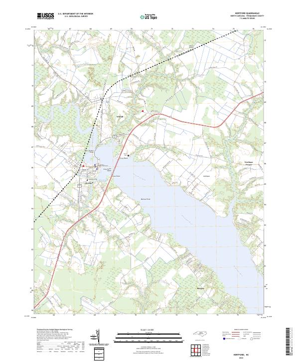 2022 Hertford2022 Print · USGSHertford and the surrounding Albemarle Sound landscape are shown here in the early twenty-first century as the river continues to shape local life. Genealogists and local historians can trace family-named points and early settlements including Winfall, Ferry Point, and the Perquimans County Courthouse.
End of results
Showing maps 1-10 of 10
Top cities near Forestburg
- Elizabeth City historical maps
- Edenton historical maps
- Hertford historical maps
- Winfall historical maps
Frequently asked questions
- What are the different types of historical maps available for Forestburg?
- What is the oldest map of Forestburg?
- Where can I purchase historical maps of Forestburg for my home or office?
- Where can I download high-res historical maps of Forestburg?
- Are there historical topographic maps available for Forestburg?
- Is there historical aerial imagery available for Forestburg?
- Where are historical maps of Forestburg sourced from?