Old Maps of Whiteston, North Carolina for Hiking & Exploration
Hike through history with 11 historic maps of Whiteston. Explore old trails, ghost towns, and forgotten backroads — perfect for outdoor adventurers and local explorers.
- Rediscover forgotten places: Map out old mining camps, roads, and footpaths that no longer exist on modern maps.
- Layer with modern tools: Combine with LiDAR or satellite views to plan hikes through historical terrain.
- Made for exploration: Popular among hikers, overlanders, and local history lovers.
Use these maps to find adventure and explore the hidden past of Whiteston.
Whiteston, NC maps
(11)- 1940 Map of South Mills, 1976 Print
 1940 South Mills1976 Print · USGSCamden and Pasquotank counties are shown in the early 1940s as communities navigated the edges of the Dismal Swamp. Genealogists can locate family-named hubs like Pierceville and Johnsons Corner or trace the Norfolk Southern Railroad line.
 - 1952 Map of South Mills
 1952 South Mills1952 Print · USGSCoastal North Carolina at mid-century reveals a complex network of timber mills and canal-side hamlets bordering the great wetlands. Trace ancestral roots and early industry through family landmarks like Lynchs Corner, the Dismal Swamp Canal, and Burnt Mills.
 - 1953 Map of Norfolk, 1954 Print
 1953 Norfolk1954 Print · USGSCoastal Virginia and northeastern North Carolina appear here during the post-war industrial boom, showing the critical rail-and-sea connections of Hampton Roads. Genealogists can trace family roots through rural landmarks like Gethsemane Ch, the Caledonia State Prison Farm, and the vast interior of the Dismal Swamp.4 unique versions available
 - 1982 Map of Chapanoke
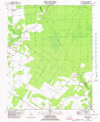 1982 Chapanoke1982 Print · USGSPerquimans County in the early eighties was defined by the intersection of rural settlements and the southern edge of the Great Dismal Swamp. Genealogists and local historians can trace family roots at Up River Ch or locate the paths of the Norfolk Southern and an Old Railroad Grade.
 - 1985 Map of Elizabeth City
 1985 Elizabeth City1985 Print · USGSCoastal North Carolina's rivers and sounds define the landscape of the mid-eighties, from the vast swamps to the historical waterfronts of Elizabeth City and Edenton. Researchers can trace the rail lines of the Southern Ry or locate landmarks like Beaver Hill Cem and South Mills.2 unique versions available
 - 1997 Map of Chapanoke, 2000 Print
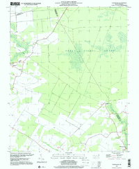 1997 Chapanoke2000 Print · USGSCoastal Perquimans County at the end of the century remains a landscape of deep timber and quiet crossroads settlements. Researchers can trace the Old Railroad Grade through the Great Dismal Swamp and locate rural landmarks like Up River Ch and Chapanoke.
 - 2010 Map of Chapanoke, 2010 Print
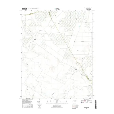
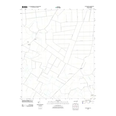 2010 Chapanoke2010 Print · USGSCovers Whiteston, including Nicanor, Chapanoke, and other nearby areas
 - 2013 Map of Chapanoke, 2013 Print
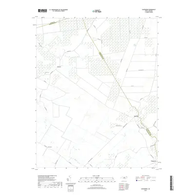
 2013 Chapanoke2013 Print · USGSCovers Whiteston, including Nicanor, Chapanoke, and other nearby areas
 - 2016 Map of Chapanoke, 2016 Print
 2016 Chapanoke2016 Print · USGSCovers Whiteston, including Nicanor, Chapanoke, and other nearby areas
 - 2019 Map of Chapanoke, 2019 Print
 2019 Chapanoke2019 Print · USGSCovers Whiteston, including Nicanor, Chapanoke, and other nearby areas
 - 2022 Map of Chapanoke, 2022 Print
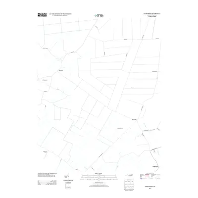
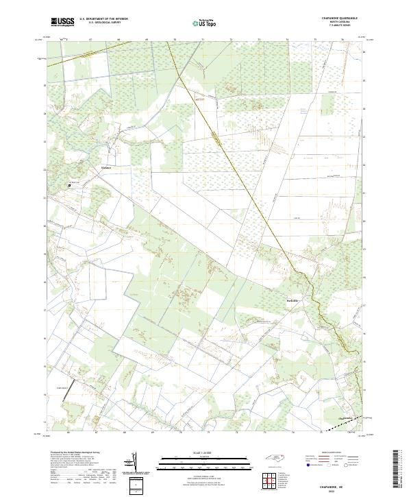 2022 Chapanoke2022 Print · USGSIn the early 2020s, the rural borderlands of Perquimans and Pasquotank Counties remained a landscape defined by the Great Dismal Swamp. Genealogists and local historians can trace the roads connecting Nicanor and Parkville, or locate the Up River Cem and Craft Airport.
End of results
Showing maps 1-11 of 11
Top cities near Whiteston
- Elizabeth City historical maps
- Hertford historical maps
- Arrowhead Beach historical maps
- Winfall historical maps
- South Mills historical maps
- Sunbury historical maps
Frequently asked questions
- What are the different types of historical maps available for Whiteston?
- What is the oldest map of Whiteston?
- Where can I purchase historical maps of Whiteston for my home or office?
- Where can I download high-res historical maps of Whiteston?
- Are there historical topographic maps available for Whiteston?
- Is there historical aerial imagery available for Whiteston?
- Where are historical maps of Whiteston sourced from?