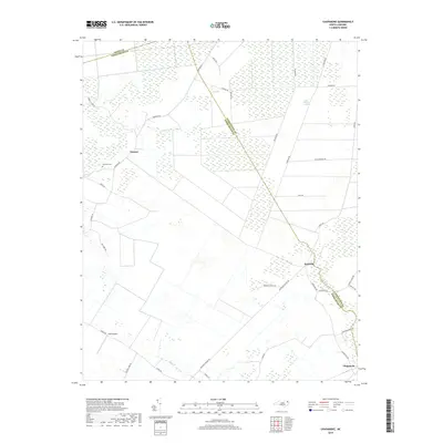
2019 Map of Chapanoke
USGS Topo · Published 2019About this map
Nicanor and Parkville anchor a landscape defined by the expansive southern reaches of the Great Dismal Swamp along the borders of Perquimans, Gates, and Pasquotank counties. This coastal plain environment is marked by significant hydraulic features, including Indian Cr and Mill Cr, which drain the low-lying wetlands. The historical road network is prominent, with arterial routes like Turnpike Rd and Chapanoke Rd connecting the small settlements and rural homesteads.
Find a feature on this map
34 named features on this map. Tap any name to fly to it.
Don’t see what you’re looking for? This feature index may not catch every label — zoom into the map to look around manually.
Map Details
Editions of this 2019 Chapanoke Map
This is the sole edition of this map. No revisions or reprints were ever made.
Other maps of this area

1904 · Edenton
USGS Topo · 1:62,500

1906 · Hertford
USGS Topo · 1:62,500

1906 · Beckford
USGS Topo · 1:48,000

1907 · Beckford
USGS Topo · 1:62,500

1940 · Hertford
USGS Topo · 1:62,500

1940 · Beckford
USGS Topo · 1:62,500

1940 · South Mills
USGS Topo · 1:62,500

1942 · Edenton
USGS Topo · 1:62,500

1943 · Edenton
USGS Topo · 1:62,500

1952 · South Mills
USGS Topo · 1:62,500