Old Maps of Ramseur, North Carolina for Academic Research
Study the evolution of Ramseur with 15 high-resolution historic maps. Whether you're teaching, researching, or modeling changes in land use, these maps provide essential visual documentation of urban, environmental, and geographic change.
- Analyze long-term change: Track patterns in development, transportation, and natural features.
- Ideal for environmental or urban studies: Support academic projects with primary historical map data.
- Use in the classroom or lab: Educators and researchers rely on these maps to bring historical context to life.
These maps are a powerful tool for teaching, research, and visualizing how Ramseur has changed over the decades.
Ramseur, NC maps
(15)- 1953 Map of Raleigh, 1965 Print
 1953 Raleigh1965 Print · USGSCentral North Carolina in the early sixties shows a landscape of growing towns and military hubs before the full expansion of the interstate system. Genealogists can trace family footprints across the Piedmont through Wake Forest, Siler City, and the large Fort Bragg Military Reservation.4 unique versions available
 - 1954 Map of Raleigh
 1954 Raleigh1954 Print · USGSThe North Carolina Piedmont and Sandhills are captured in the mid-fifties during a period of steady regional growth. Genealogists and historians can trace the development of towns like Siler City or locate landmarks such as Falls of Neuse and Camp Mackall.
 - 1968 Map of Ramseur, 1973 Print
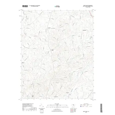
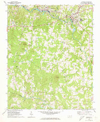 1968 Ramseur1973 Print · USGSThe industrial corridor of the Deep River in the late 1960s is preserved here, showing the mill towns of Ramseur and Franklinville at a peak of rail activity. Researchers can trace rural lineages through numerous country landmarks like Spoons Chapel, Mt Tabor Ch, and the Old Salem Cem.2 unique versions available
 - 1974 Map of Grays Chapel, 1977 Print
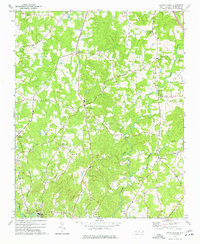 1974 Grays Chapel1977 Print · USGSRandolph County's rural landscape is captured here in the mid-1970s, showcasing the small communities and river towns of central North Carolina. Genealogists can trace family landmarks like Whites Memorial Ch, Cedar Falls, and Sandy Creek Ch.
 - 1984 Map of Chapel Hill, 1985 Print
 1984 Chapel Hill1985 Print · USGSNorth Carolina’s Piedmont and the northern reaches of the Uwharrie Mountains are captured here in the mid-eighties. Genealogists can trace family roots through rural landmarks like Union Chapel or locate old rail stops along the Seaboard line.
 - 2010 Map of Ramseur, 2010 Print
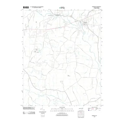 2010 Ramseur2010 Print · USGSCovers Ramseur, including Franklinville, Randolph County, and other nearby areas
 - 2010 Map of Grays Chapel, 2010 Print
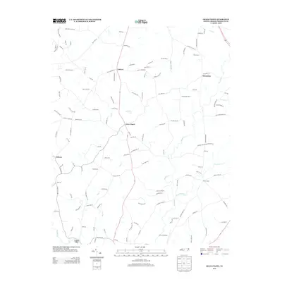
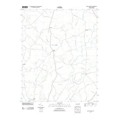 2010 Grays Chapel2010 Print · USGSCovers Ramseur, including Franklinville, Lineberry, and other nearby areas
 - 2013 Map of Ramseur, 2013 Print
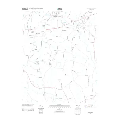 2013 Ramseur2013 Print · USGSCovers Ramseur, including Franklinville, Randolph County, and other nearby areas
 - 2013 Map of Grays Chapel, 2013 Print
 2013 Grays Chapel2013 Print · USGSCovers Ramseur, including Franklinville, Lineberry, and other nearby areas
 - 2016 Map of Grays Chapel, 2016 Print
 2016 Grays Chapel2016 Print · USGSCovers Ramseur, including Franklinville, Lineberry, and other nearby areas
 - 2016 Map of Ramseur, 2016 Print
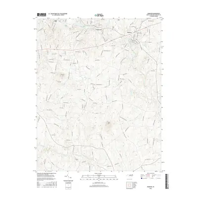 2016 Ramseur2016 Print · USGSCovers Ramseur, including Franklinville, Randolph County, and other nearby areas
 - 2019 Map of Grays Chapel, 2019 Print
 2019 Grays Chapel2019 Print · USGSCovers Ramseur, including Franklinville, Lineberry, and other nearby areas
 - 2019 Map of Ramseur, 2019 Print
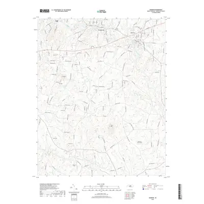 2019 Ramseur2019 Print · USGSCovers Ramseur, including Franklinville, Randolph County, and other nearby areas
 - 2022 Map of Ramseur, 2022 Print
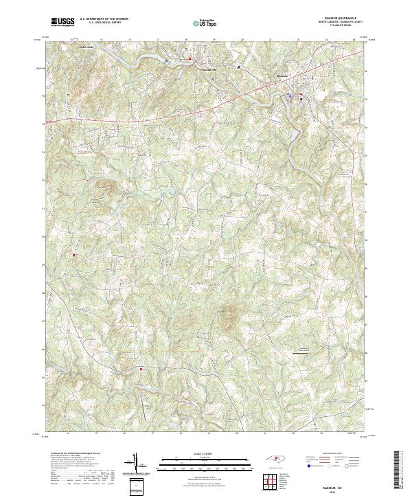 2022 Ramseur2022 Print · USGSThe Deep River valley comes into focus in this early twenty-first-century survey of the textile towns in Randolph County. Researchers can trace family roots at Old Salem Cem or locate rural landmarks like Iron Mountain and the Dakota Air Ranch Airport.
 - 2022 Map of Grays Chapel, 2022 Print
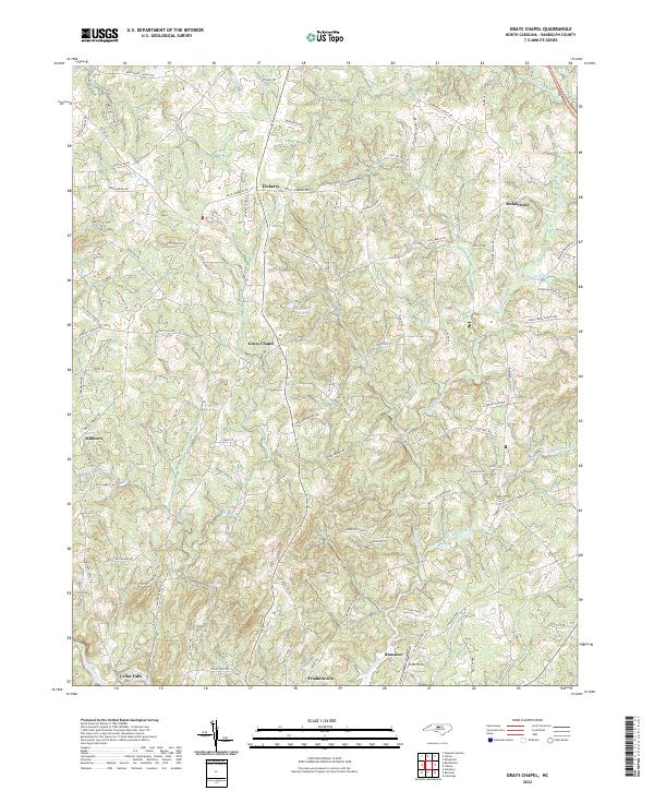 2022 Grays Chapel2022 Print · USGSThe rural crossroads of Randolph County are captured in this modern survey, showing the land around Grays Chapel and Linberry. Researchers can trace old family road names and small community sites like Melanchton and Millboro near the Deep River.
End of results
Showing maps 1-15 of 15
Top cities near Ramseur
- Asheboro historical maps
- Siler City historical maps
- Pleasant Garden historical maps
- Randleman historical maps
- Liberty historical maps
- Franklinville historical maps
See more
Top neighborhoods of Ramseur
Frequently asked questions
- What are the different types of historical maps available for Ramseur?
- What is the oldest map of Ramseur?
- Where can I purchase historical maps of Ramseur for my home or office?
- Where can I download high-res historical maps of Ramseur?
- Are there historical topographic maps available for Ramseur?
- Is there historical aerial imagery available for Ramseur?
- Where are historical maps of Ramseur sourced from?