Old Maps of Hoffman, North Carolina for Metal Detecting
Plan your next treasure hunt with 14 historic maps of Hoffman. Find old homesites, ghost towns, trails, and gathering spots that may be lost to time — perfect for identifying promising metal detecting locations.
- Locate forgotten sites: Uncover places like long-lost settlements, abandoned rail lines, or gathering spots.
- Plan better hunts: Use map overlays combined with LiDAR or satellite views to narrow in on historically rich areas.
- Made for detectorists: Thousands of hobbyists use these maps to discover relics, coins, and hidden history.
Use these historic maps to boost your research and find new opportunities beneath the surface of Hoffman.
Hoffman, NC maps
(14)- 1942 Map of Troy
 1942 Troy1942 Print · USGSMid-century central North Carolina comes alive through this 1940s survey of the rail-linked towns between the Uwharrie hills and the Sandhills. Trace the historic Norfolk Southern line through Troy, Star, and Biscoe, or locate the Morrison Training School and local springs.
 - 1949 Map of Hoffman, 1953 Print
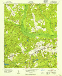 1949 Hoffman1953 Print · USGSHoffman and the surrounding Sand Hills of Richmond County are captured here just after the war, showing the expansion of military and conservation lands. Researchers can trace the Seaboard Air Line railroad through the heart of town or locate rural landmarks like McNir Chapel and Watson Cem.3 unique versions available
 - 1949 Map of Jackson Springs, 1954 Print
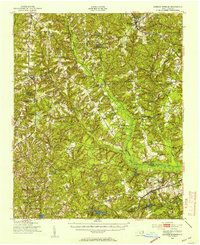 1949 Jackson Springs1954 Print · USGSThe North Carolina Sandhills were undergoing a transition in the late 1940s as military footprints expanded alongside rural farming communities. Genealogists and historians can trace the foundations of Camp Mackall and find local landmarks like the Morrison Training Sch and Jackson Springs.
 - 1953 Map of Raleigh, 1965 Print
 1953 Raleigh1965 Print · USGSCentral North Carolina in the early sixties shows a landscape of growing towns and military hubs before the full expansion of the interstate system. Genealogists can trace family footprints across the Piedmont through Wake Forest, Siler City, and the large Fort Bragg Military Reservation.4 unique versions available
 - 1954 Map of Raleigh
 1954 Raleigh1954 Print · USGSThe North Carolina Piedmont and Sandhills are captured in the mid-fifties during a period of steady regional growth. Genealogists and historians can trace the development of towns like Siler City or locate landmarks such as Falls of Neuse and Camp Mackall.
 - 1957 Map of Jackson Springs, 1961 Print
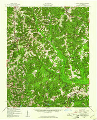 1957 Jackson Springs1961 Print · USGSMoore and Richmond counties in the late 1950s reflect a mix of military presence and quiet rural life. Researchers can trace families near Jackson Springs, locate the old Hoffman High Sch, or find rural landmarks like Marcus Grove Ch and Millstone Lake.
 - 1976 Map of Hoffman, 1978 Print
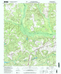
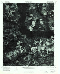 1976 Hoffman1978 Print · USGSHoffman and the surrounding Richmond County timberlands are captured here in the mid-1970s through high-altitude aerial photography. Trace the path of the Seaboard Coast Line railroad as it passes through Hoffman or locate the dense woodlands flanking Drowning Creek.
 - 1982 Map of Southern Pines, 1983 Print
 1982 Southern Pines1983 Print · USGSCentral North Carolina in the early eighties shows a landscape defined by military expansion and historic rail corridors. Researchers can trace the legacy of the Seaboard Coast Line through Pinehurst or locate landmarks like the Town Creek Indian Mound State Historic Site.
 - 2002 Map of Hoffman
 2002 Hoffman2002 Print · USGSHoffman and the surrounding pine forests are captured here at the start of the millennium, showing a landscape defined by military training and wildlife conservation. Researchers can locate Watson Cem, rural churches like McNir Chapel, and the vast Camp Mackall Military Reservation.
 - 2010 Map of Hoffman, 2010 Print
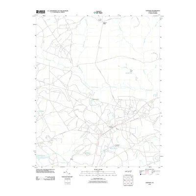 2010 Hoffman2010 Print · USGSCovers Hoffman, including Narrow Ridge, Moore County, and other nearby areas
 - 2013 Map of Hoffman, 2013 Print
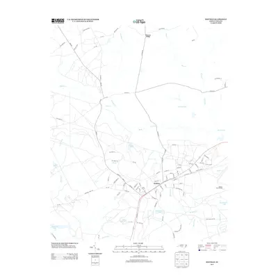 2013 Hoffman2013 Print · USGSCovers Hoffman, including Narrow Ridge, Moore County, and other nearby areas
 - 2016 Map of Hoffman, 2016 Print
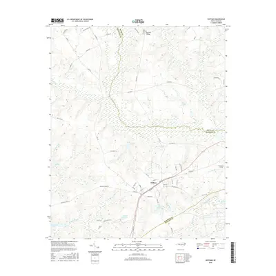 2016 Hoffman2016 Print · USGSCovers Hoffman, including Narrow Ridge, Moore County, and other nearby areas
 - 2019 Map of Hoffman, 2019 Print
 2019 Hoffman2019 Print · USGSCovers Hoffman, including Narrow Ridge, Moore County, and other nearby areas
 - 2022 Map of Hoffman, 2022 Print
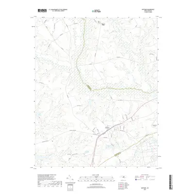
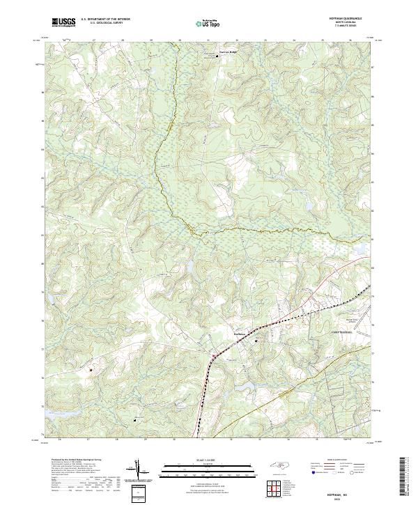 2022 Hoffman2022 Print · USGSIn the Sandhills of the early twenty-first century, the area around Hoffman remains a landscape of military aviation and quiet rural communities. Researchers can trace local lineage at Watson Cem or explore the hydrography of McKinney Lake and Drowning Cr.
End of results
Showing maps 1-14 of 14
Top cities near Hoffman
- Pinehurst historical maps
- Southern Pines historical maps
- Rockingham historical maps
- Hamlet historical maps
- Aberdeen historical maps
- Seven Lakes historical maps
See more
Frequently asked questions
- What are the different types of historical maps available for Hoffman?
- What is the oldest map of Hoffman?
- Where can I purchase historical maps of Hoffman for my home or office?
- Where can I download high-res historical maps of Hoffman?
- Are there historical topographic maps available for Hoffman?
- Is there historical aerial imagery available for Hoffman?
- Where are historical maps of Hoffman sourced from?