Old Maps of Rockingham, North Carolina for Hiking & Exploration
Hike through history with 21 historic maps of Rockingham. Explore old trails, ghost towns, and forgotten backroads — perfect for outdoor adventurers and local explorers.
- Rediscover forgotten places: Map out old mining camps, roads, and footpaths that no longer exist on modern maps.
- Layer with modern tools: Combine with LiDAR or satellite views to plan hikes through historical terrain.
- Made for exploration: Popular among hikers, overlanders, and local history lovers.
Use these maps to find adventure and explore the hidden past of Rockingham.
Rockingham, NC maps
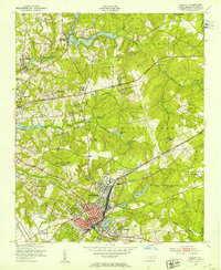
(21)- 1942 Map of Rockingham, 1944 Print
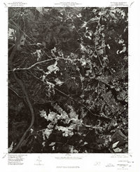
 1942 Rockingham1944 Print · USGSThe North Carolina and South Carolina borderlands come alive in this wartime survey of the Pee Dee River valley. Researchers can trace historic mill sites like Burnt Factory Pond or locate family landmarks such as Roberdell and Old Sneedsboro.
 - 1949 Map of Hamlet, 1953 Print
 1949 Hamlet1953 Print · USGSPost-war Richmond County center on the major rail junction of Hamlet as the town expanded into new suburbs. Genealogists and historians can trace numerous rural landmarks, from Beaverdam Ch and Clark Cem to the local Gibson Mill Pond.
 - 1949 Map of Hamlet, 1954 Print
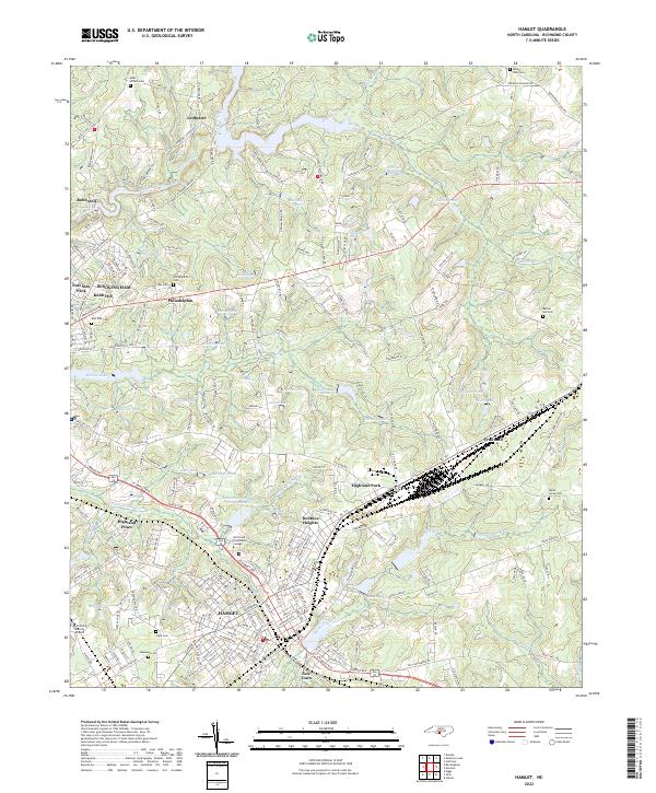
 1949 Hamlet1954 Print · USGSNorth Carolina's Sandhills come alive in the late 1940s, centered on the busy rail hub of Hamlet and its sprawling network of tracks. Researchers can trace numerous local schools and cemeteries, from Sneads Grove School to the Tabernacle Cemetery.2 unique versions available
 - 1953 Map of Florence, 1964 Print
 1953 Florence1964 Print · USGSThe Carolina borderlands in the mid-fifties were a landscape of vast river swamps and rising rail towns. Trace the legacy of the Seaboard Air Line through Florence or explore the wetlands surrounding Lake Waccamaw and the Green Swamp.3 unique versions available
 - 1954 Map of Florence
 1954 Florence1954 Print · USGSThe Carolinas borderlands come alive in the early fifties, showing the vital rail-and-river networks of the coastal plain. Genealogists can trace family footprints across the Green Swamp or through settlements like Red Springs, Chadbourn, and McColl.
 - 1956 Map of Rockingham, 1957 Print
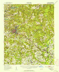
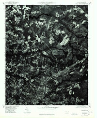
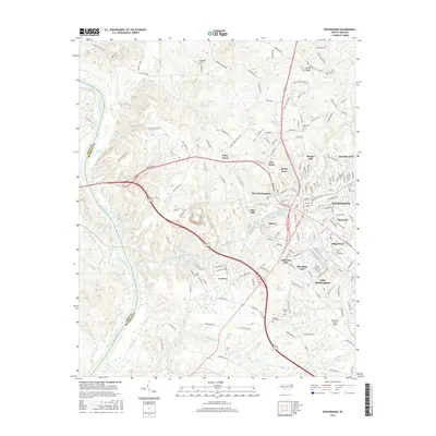
 1956 Rockingham1957 Print · USGSMid-century Rockingham is shown here as a bustling hub of textile mills and rail lines along the Pee Dee River. Genealogists can trace family footprints near Cordova, Honey Town, and old rural landmarks like Stelley Tabernacle or Ashley Chapel.4 unique versions available
 - 1957 Map of Hamlet, 1960 Print
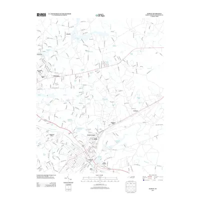
 1957 Hamlet1960 Print · USGSThe rail-driven economy of the 1950s Sandhills is on full display in this survey of the Hamlet and Rockingham area. Genealogists and local historians can trace family-named sites like Gibsons Millpond and numerous rural houses of worship including Bethel Hill Ch and McDonald Ch.3 unique versions available
 - 1976 Map of Rockingham, 1978 Print
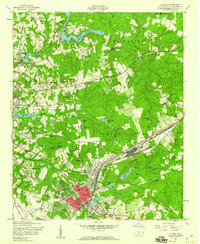
 1976 Rockingham1978 Print · USGSThe Pee Dee River basin and the evolving landscape of Richmond County are captured in this mid-seventies aerial survey. Local historians can trace the development of settlements like Cordova and Pine Grove as they appeared decades ago.
 - 1976 Map of Hamlet, 1978 Print
 1976 Hamlet1978 Print · USGSHamlet and the surrounding Richmond County countryside are shown from a birds-eye perspective in the mid-1970s. Genealogists and researchers can trace the shoreline of Ledbetter Lake and the development around the settlement of Ledbetter.
 - 1983 Map of Laurinburg, 1984 Print
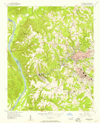
 1983 Laurinburg1984 Print · USGSThe Carolina borderlands come into focus in the early 1980s, showcasing a landscape defined by the Sandhills Game Land and major river systems. Genealogists and rail historians can trace the paths of the Seaboard Coast Line Railroad through Hamlet or locate St Andrews College and Cheraw State Park.2 unique versions available
 - 2002 Map of Hamlet
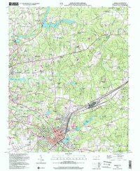 2002 Hamlet2002 Print · USGSHamlet and Rockingham are shown at a point of steady growth near the start of the millennium, with a landscape defined by rail lines and millponds. Researchers can trace family roots at Bear Branch Cemetery or locate historic rural landmarks like McDonald Church and Gibsons Millpond.
 - 2010 Map of Hamlet, 2010 Print
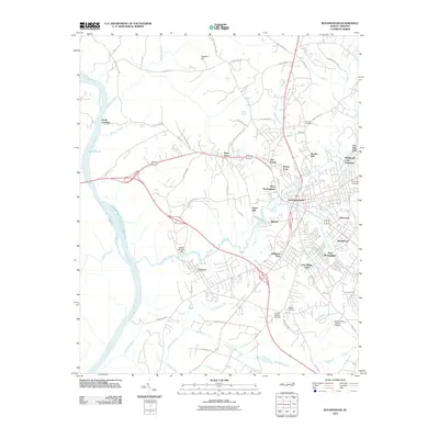
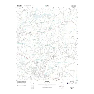 2010 Hamlet2010 Print · USGSCovers Rockingham, including Hamlet, Dobbins Heights, and other nearby areas
 - 2010 Map of Rockingham, 2010 Print
 2010 Rockingham2010 Print · USGSCovers Rockingham, including East Rockingham, Cordova, and other nearby areas
 - 2013 Map of Hamlet, 2013 Print
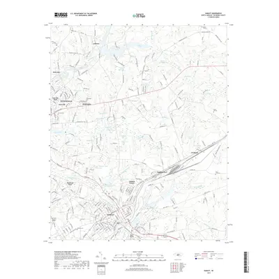
 2013 Hamlet2013 Print · USGSCovers Rockingham, including Hamlet, Dobbins Heights, and other nearby areas
 - 2013 Map of Rockingham, 2013 Print
 2013 Rockingham2013 Print · USGSCovers Rockingham, including East Rockingham, Cordova, and other nearby areas
 - 2016 Map of Rockingham, 2016 Print
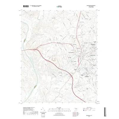
 2016 Rockingham2016 Print · USGSCovers Rockingham, including East Rockingham, Cordova, and other nearby areas
 - 2016 Map of Hamlet, 2016 Print
 2016 Hamlet2016 Print · USGSCovers Rockingham, including Hamlet, Dobbins Heights, and other nearby areas
 - 2019 Map of Hamlet, 2019 Print
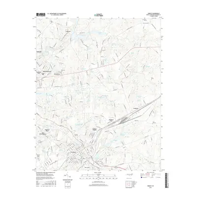
 2019 Hamlet2019 Print · USGSCovers Rockingham, including Hamlet, Dobbins Heights, and other nearby areas
 - 2019 Map of Rockingham, 2019 Print
 2019 Rockingham2019 Print · USGSCovers Rockingham, including East Rockingham, Cordova, and other nearby areas
 - 2022 Map of Hamlet, 2022 Print
 2022 Hamlet2022 Print · USGSHamlet and Rockingham are shown here as they appeared in the early 2020s, anchored by their deep railroad and milling heritage. Local researchers can trace family landmarks and transit routes near Hinson Lake, Dobbins Heights, and the historic Philadelphia Cem.
 - 2022 Map of Rockingham, 2022 Print
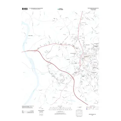
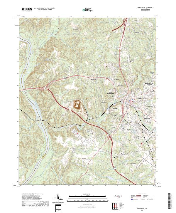 2022 Rockingham2022 Print · USGSRichmond County at the start of the 2020s shows a landscape shaped by its river-valley industry and expanding highway bypasses. Trace family roots and local development through detailed landmarks like Cordova, the Richmond County Airport, and Popular Springs Cem.
End of results
Showing maps 1-21 of 21
Top cities near Rockingham
- Hamlet historical maps
- East Rockingham historical maps
- Cordova historical maps
- Laurel Hill historical maps
- Ellerbe historical maps
- Dobbins Heights historical maps
See more
Top neighborhoods of Rockingham
- Honey Town historical maps
- Knob Hill historical maps
- Midway historical maps
- Bunker Hill historical maps
- Five Points historical maps
- Maplewood historical maps
See more
Frequently asked questions
- What are the different types of historical maps available for Rockingham?
- What is the oldest map of Rockingham?
- Where can I purchase historical maps of Rockingham for my home or office?
- Where can I download high-res historical maps of Rockingham?
- Are there historical topographic maps available for Rockingham?
- Is there historical aerial imagery available for Rockingham?
- Where are historical maps of Rockingham sourced from?