2000s (21st Century) Maps of Forest City, North Carolina
Explore 11 historic maps of Forest City from the 2000s (21st Century). These maps offer a rare glimpse into what life looked like during the 2000s — showing old roads, neighborhoods, homes, and landmarks that have changed or disappeared over time.
Whether you're researching your family's past, planning a metal detecting trip, or studying how Forest City's landscape evolved across the 2000s, these high-resolution maps are a powerful tool for exploring the history of this region.
- Focus on a specific era: All maps on this page are from the 2000s, giving you a focused view of this time period.
- See what’s changed: Compare century-old streets, trails, and buildings to today's modern landscape using overlays and satellite layers.
- Research with precision: Use these maps for genealogy, historical research, land use analysis, or educational projects.
- View, download, or print: Maps are fully viewable online in high resolution, and can be downloaded or printed for your own records.
Start exploring Forest City's history through authentic maps from the 2000s. This is your window into the past.
Forest City, NC maps
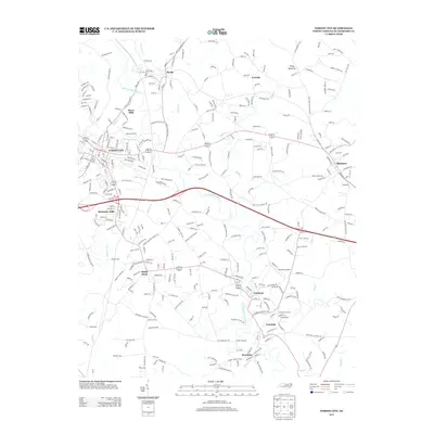
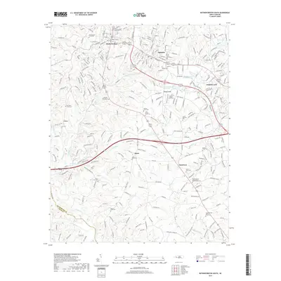
(11)- 2002 Map of Forest City, 2003 Print
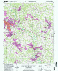 2002 Forest City2003 Print · USGSThe industrial and rural landscapes of Rutherford County come alive in the early 2000s as the textile corridor transitions. Researchers can trace family roots at Smith Grove Ch Cem, locate the old Drive-in Theater, or explore the heritage of Alexander Mills.
 - 2010 Map of Forest City, 2010 Print
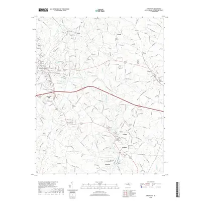
 2010 Forest City2010 Print · USGSCovers Forest City, including Ellenboro, Bostic, and other nearby areas
 - 2010 Map of Rutherfordton South, 2010 Print
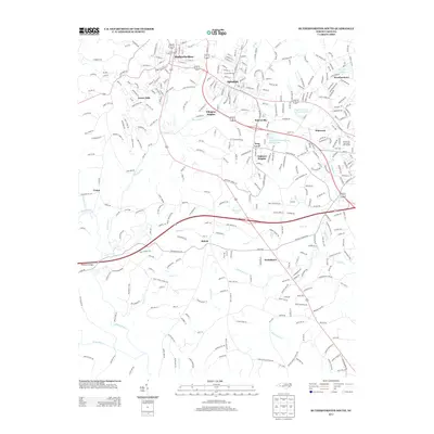
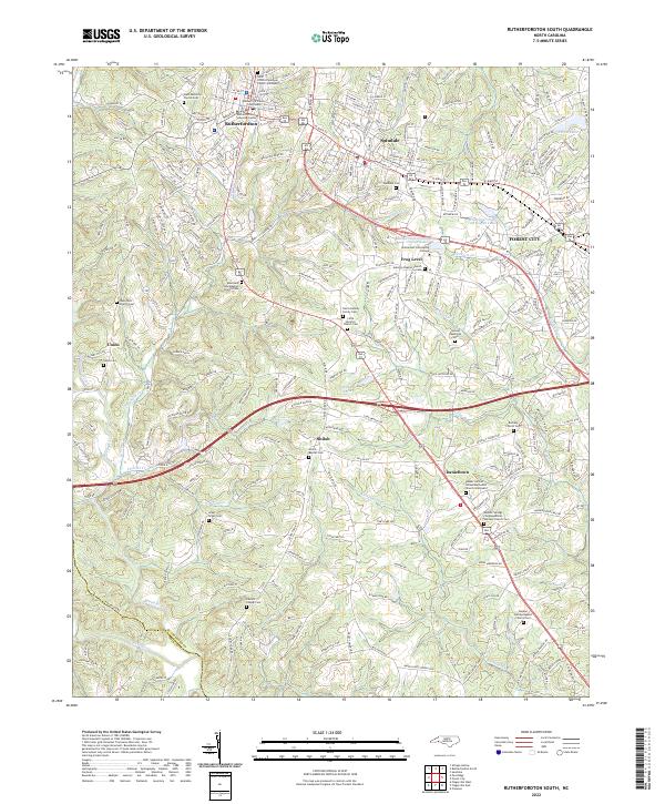
 2010 Rutherfordton South2010 Print · USGSCovers Forest City, including Rutherfordton, Spindale, and other nearby areas
 - 2013 Map of Rutherfordton South, 2013 Print
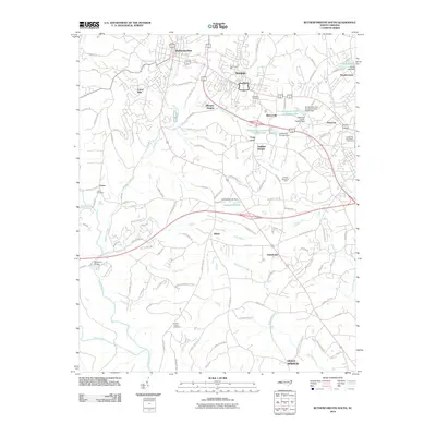
 2013 Rutherfordton South2013 Print · USGSCovers Forest City, including Rutherfordton, Spindale, and other nearby areas
 - 2013 Map of Forest City, 2013 Print
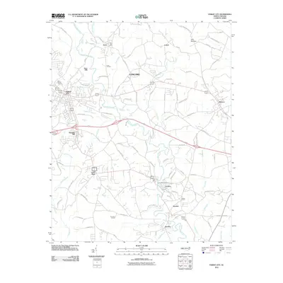
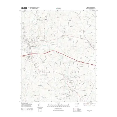
 2013 Forest City2013 Print · USGSCovers Forest City, including Ellenboro, Bostic, and other nearby areas
 - 2016 Map of Forest City, 2016 Print
 2016 Forest City2016 Print · USGSCovers Forest City, including Ellenboro, Bostic, and other nearby areas
 - 2016 Map of Rutherfordton South, 2016 Print
 2016 Rutherfordton South2016 Print · USGSCovers Forest City, including Rutherfordton, Spindale, and other nearby areas
 - 2019 Map of Forest City, 2019 Print
 2019 Forest City2019 Print · USGSCovers Forest City, including Ellenboro, Bostic, and other nearby areas
 - 2019 Map of Rutherfordton South, 2019 Print
 2019 Rutherfordton South2019 Print · USGSCovers Forest City, including Rutherfordton, Spindale, and other nearby areas
 - 2022 Map of Rutherfordton South, 2022 Print
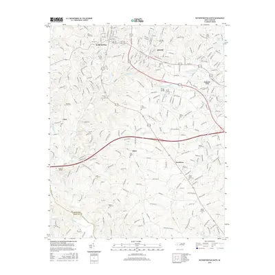
 2022 Rutherfordton South2022 Print · USGSThe Rutherfordton and Forest City area comes into clear focus in this modern era, showing the growth of the Piedmont corridor. Family researchers can trace dozens of sites including Adaville Baptist Church Cem, Frog Level, and the Rutherford County Courthouse.
 - 2022 Map of Forest City, 2022 Print
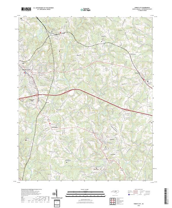 2022 Forest City2022 Print · USGSThe North Carolina piedmont comes to life in this survey of Rutherford County’s mill towns and rural settlements. Researchers can trace family history through numerous landmarks like Bethel Baptist Church Graveyard or the old textile hubs of Alexander Mills and Caroleen.
End of results
Showing maps 1-11 of 11
Top cities near Forest City
- Rutherfordton historical maps
- Spindale historical maps
- Boiling Springs historical maps
- Chesnee historical maps
- Polkville historical maps
- Ellenboro historical maps
See more
Top neighborhoods of Forest City
Frequently asked questions
- What are the different types of historical maps available for Forest City?
- What is the oldest map of Forest City?
- Where can I purchase historical maps of Forest City for my home or office?
- Where can I download high-res historical maps of Forest City?
- Are there historical topographic maps available for Forest City?
- Is there historical aerial imagery available for Forest City?
- Where are historical maps of Forest City sourced from?