Old Maps of Harris, North Carolina for Hiking & Exploration
Hike through history with 15 historic maps of Harris. Explore old trails, ghost towns, and forgotten backroads — perfect for outdoor adventurers and local explorers.
- Rediscover forgotten places: Map out old mining camps, roads, and footpaths that no longer exist on modern maps.
- Layer with modern tools: Combine with LiDAR or satellite views to plan hikes through historical terrain.
- Made for exploration: Popular among hikers, overlanders, and local history lovers.
Use these maps to find adventure and explore the hidden past of Harris.
Harris, NC maps
(15)- 1953 Map of Charlotte, 1968 Print
 1953 Charlotte1968 Print · USGSThe North Carolina Piedmont and South Carolina borderlands are shown in detail during a period of significant growth and reservoir development. Trace the rail corridors of the Southern Railway or find family roots in towns like China Grove, Misenheimer, and Lincolnton.3 unique versions available
 - 1954 Map of Charlotte
 1954 Charlotte1954 Print · USGSThe North Carolina Piedmont in the mid-1950s shows a region of rapid growth and industrial expansion centered around Charlotte. Trace the era's infrastructure through the Southern railroad lines and locate significant landmarks like the Charlotte Naval Ammunition Depot and Lake Norman.2 unique versions available
 - 1959 Map of Cowpens, 1961 Print
 1959 Cowpens1961 Print · USGSThe borderlands of the Carolinas are shown here in the late fifties, featuring a mix of textile mill towns and rural farming communities. Researchers can trace family roots through numerous local landmarks like Cannons Camp Ground, Gaffney Chapel, and Cooley Springs.2 unique versions available
 - 1960 Map of Charlotte
 1960 Charlotte1960 Print · USGSMid-century North Carolina and South Carolina meet in this 1960 survey of the Piedmont's industrial and textile heartland. Trace the growth of Charlotte alongside historic landmarks like Kings Mountain National Military Park and the Charlotte Naval Ammunition Depot.2 unique versions available
 - 1962 Map of Charlotte
 1962 Charlotte1962 Print · USGSThe North Carolina Piedmont in the early sixties showcases a landscape transformed by massive reservoirs and industrial growth. Researchers can trace the development of Lake Norman, locate the Charlotte Naval Ammunition Depot, or find family landmarks like Wesley Chapel and Brown & Norcott Mills.
 - 1975 Map of Cowpens NE, 1979 Print
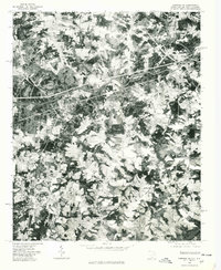 1975 Cowpens NE1979 Print · USGSThe borderlands of the Carolinas come into focus during the mid-seventies in this detailed orthophoto. Researchers can trace the rural layouts of Chesnee and Cliffside while identifying family farmsteads along the Broad River.
 - 1983 Map of Chesnee
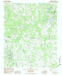 1983 Chesnee1983 Print · USGSThe Carolina borderlands near Chesnee and Cliffside are captured here in the early eighties as the textile and agricultural landscape evolved. Genealogists and local historians can locate many rural landmarks, from the Cowpens National Battlefield to Jerusalem Ch and Chase High Sch.
 - 1986 Map of Gastonia
 1986 Gastonia1986 Print · USGSThe Carolina Piedmont in the mid-eighties shows a landscape shaped by Revolutionary War history and the textile industry. Trace the footprints of early battles at Kings Mountain National Military Park and locate depots along the Southern Railway in Shelby and Gastonia.
 - 1991 Map of Gastonia
 1991 Gastonia1991 Print · USGSThe Piedmont region along the North Carolina and South Carolina border shows a bustling industrial and transit corridor in the early nineties. Researchers can trace the sprawling footprints of Gastonia and Shelby or explore the grounds of Kings Mountain National Military Park and Lake Wylie.
 - 1993 Map of Chesnee, 1996 Print
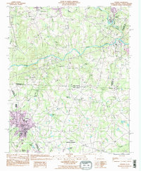 1993 Chesnee1996 Print · USGSThe Carolina borderlands come alive in this early 1990s survey, showing the landscape before recent regional expansion. Genealogists and historians can trace local family roots at County Memorial Cem or locate community hubs like Hicks Grove Ch and Chase High Sch.
 - 2011 Map of Chesnee, 2011 Print
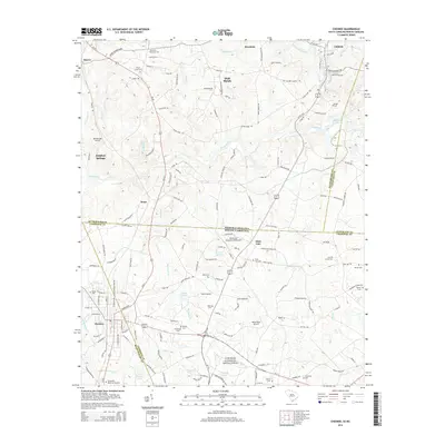
 2011 Chesnee2011 Print · USGSCovers Harris, including Chesnee, State Line, and other nearby areas
 - 2014 Map of Chesnee, 2014 Print
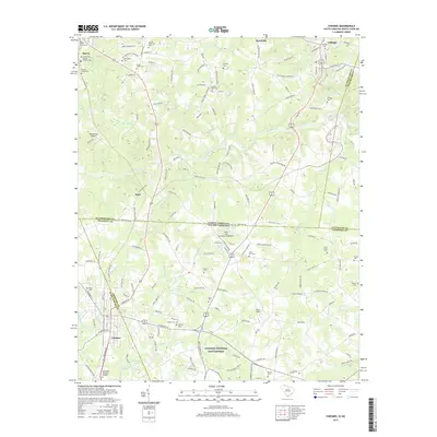
 2014 Chesnee2014 Print · USGSCovers Harris, including Chesnee, State Line, and other nearby areas
 - 2017 Map of Chesnee, 2017 Print
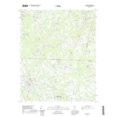
 2017 Chesnee2017 Print · USGSCovers Harris, including Chesnee, State Line, and other nearby areas
 - 2020 Map of Chesnee, 2020 Print
 2020 Chesnee2020 Print · USGSCovers Harris, including Chesnee, State Line, and other nearby areas
 - 2024 Map of Chesnee, 2024 Print
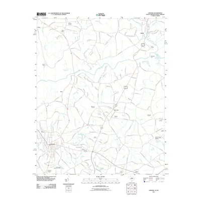
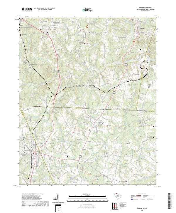 2024 Chesnee2024 Print · USGSThe Carolina state line meets the historic ground of Cowpens National Battlefield in this contemporary topographic survey. Local historians can trace family roots through numerous sites like Martin Family Cem, Cliffside Cem, and the Mid-Atlantic Railroad corridor.
End of results
Showing maps 1-15 of 15
Top cities near Harris
- Gaffney historical maps
- Forest City historical maps
- Rutherfordton historical maps
- Spindale historical maps
- Boiling Springs historical maps
- Inman historical maps
See more
Frequently asked questions
- What are the different types of historical maps available for Harris?
- What is the oldest map of Harris?
- Where can I purchase historical maps of Harris for my home or office?
- Where can I download high-res historical maps of Harris?
- Are there historical topographic maps available for Harris?
- Is there historical aerial imagery available for Harris?
- Where are historical maps of Harris sourced from?