Old Maps of Clear Run, North Carolina for Hiking & Exploration
Hike through history with 10 historic maps of Clear Run. Explore old trails, ghost towns, and forgotten backroads — perfect for outdoor adventurers and local explorers.
- Rediscover forgotten places: Map out old mining camps, roads, and footpaths that no longer exist on modern maps.
- Layer with modern tools: Combine with LiDAR or satellite views to plan hikes through historical terrain.
- Made for exploration: Popular among hikers, overlanders, and local history lovers.
Use these maps to find adventure and explore the hidden past of Clear Run.
Clear Run, NC maps
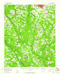
(10)- 1953 Map of Florence, 1964 Print
 1953 Florence1964 Print · USGSThe Carolina borderlands in the mid-fifties were a landscape of vast river swamps and rising rail towns. Trace the legacy of the Seaboard Air Line through Florence or explore the wetlands surrounding Lake Waccamaw and the Green Swamp.3 unique versions available
 - 1954 Map of Florence
 1954 Florence1954 Print · USGSThe Carolinas borderlands come alive in the early fifties, showing the vital rail-and-river networks of the coastal plain. Genealogists can trace family footprints across the Green Swamp or through settlements like Red Springs, Chadbourn, and McColl.
 - 1959 Map of Garland, 1960 Print
 1959 Garland1960 Print · USGSSampson County at the end of the fifties shows a rural landscape of small townships and vital rail connections along the Atlantic Coast Line. Genealogists can locate family-named landmarks and country crossroads such as Butlers Crossroads, Andrews Chapel, and Elizabeth Ch.2 unique versions available
 - 1982 Map of Elizabethtown, 1983 Print
 1982 Elizabethtown1983 Print · USGSSoutheastern North Carolina's coastal plain is captured here in the early eighties, showcasing a landscape defined by the Cape Fear River and mysterious Carolina Bays. Genealogists and researchers can trace the rail network of the Seaboard Coast Line through rural communities like Autryville, Ivanhoe, and the recreational hub of White Lake.
 - 1986 Map of Ingold
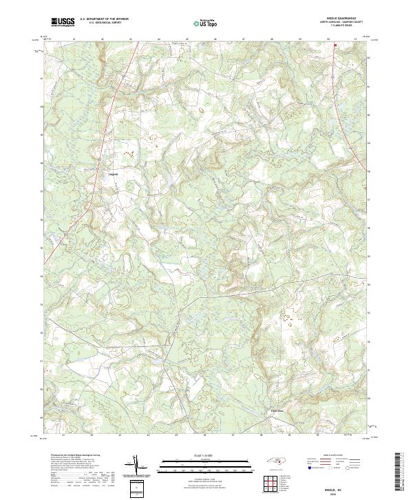
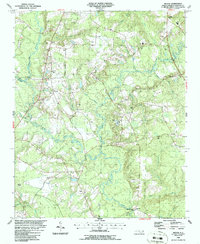 1986 Ingold1986 Print · USGSSampson County's rural landscape is captured here in the mid-1980s, centered on the river-fed communities of Ingold and Clear Run. Genealogists and researchers can trace numerous unnamed cemeteries and local institutions like Union High School and Salem Church.
 - 2010 Map of Ingold, 2010 Print
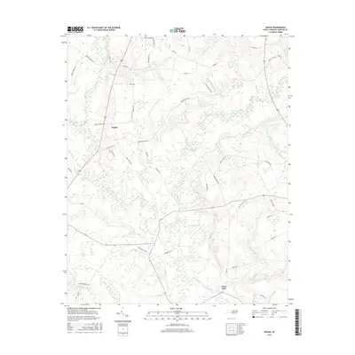
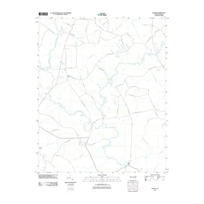 2010 Ingold2010 Print · USGSCovers Clear Run, including Ingold, Sampson County, and other nearby areas
 - 2013 Map of Ingold, 2013 Print
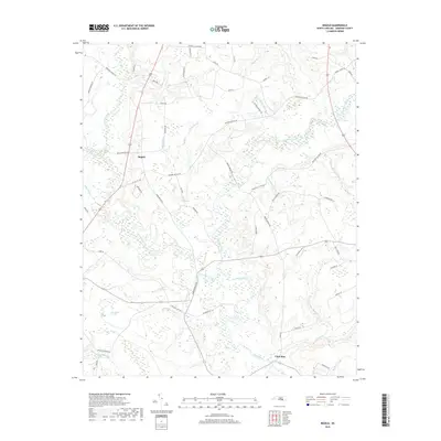
 2013 Ingold2013 Print · USGSCovers Clear Run, including Ingold, Sampson County, and other nearby areas
 - 2016 Map of Ingold, 2016 Print
 2016 Ingold2016 Print · USGSCovers Clear Run, including Ingold, Sampson County, and other nearby areas
 - 2019 Map of Ingold, 2019 Print
 2019 Ingold2019 Print · USGSCovers Clear Run, including Ingold, Sampson County, and other nearby areas
 - 2022 Map of Ingold, 2022 Print
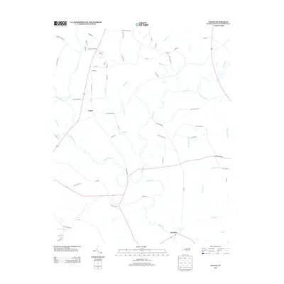
 2022 Ingold2022 Print · USGSSampson County settlement at the turn of the twenty-first century centers on the riverine junctions of the Black River. Genealogists and local historians can trace family-named routes and landmarks near Ingold, Clear Run, and the winding Six Runs Creek.
End of results
Showing maps 1-10 of 10
Top cities near Clear Run
- Clinton historical maps
- Roseboro historical maps
- Magnolia historical maps
- White Lake historical maps
- Delway historical maps
- Atkinson historical maps
Frequently asked questions
- What are the different types of historical maps available for Clear Run?
- What is the oldest map of Clear Run?
- Where can I purchase historical maps of Clear Run for my home or office?
- Where can I download high-res historical maps of Clear Run?
- Are there historical topographic maps available for Clear Run?
- Is there historical aerial imagery available for Clear Run?
- Where are historical maps of Clear Run sourced from?