Old Maps of Salemburg, North Carolina for Hiking & Exploration
Hike through history with 16 historic maps of Salemburg. Explore old trails, ghost towns, and forgotten backroads — perfect for outdoor adventurers and local explorers.
- Rediscover forgotten places: Map out old mining camps, roads, and footpaths that no longer exist on modern maps.
- Layer with modern tools: Combine with LiDAR or satellite views to plan hikes through historical terrain.
- Made for exploration: Popular among hikers, overlanders, and local history lovers.
Use these maps to find adventure and explore the hidden past of Salemburg.
Salemburg, NC maps
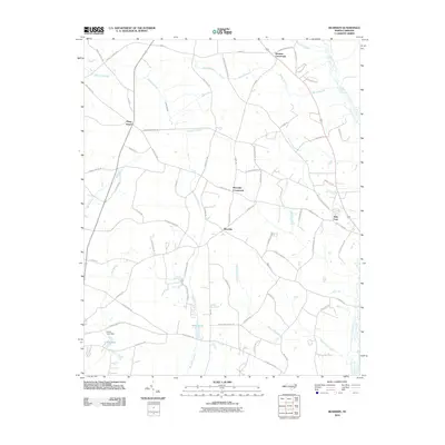
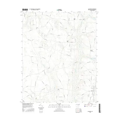
(16)- 1909 Map of Coharie
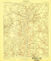 1909 Coharie1909 Print · USGSSampson County at the turn of the century is a landscape of creek-side millponds and rural crossroads. Genealogists can trace family roots through numerous local landmarks like Owen Grove Church, Wilsons Store, and Enterprise School.3 unique versions available
 - 1953 Map of Raleigh, 1965 Print
 1953 Raleigh1965 Print · USGSCentral North Carolina in the early sixties shows a landscape of growing towns and military hubs before the full expansion of the interstate system. Genealogists can trace family footprints across the Piedmont through Wake Forest, Siler City, and the large Fort Bragg Military Reservation.4 unique versions available
 - 1954 Map of Raleigh
 1954 Raleigh1954 Print · USGSThe North Carolina Piedmont and Sandhills are captured in the mid-fifties during a period of steady regional growth. Genealogists and historians can trace the development of towns like Siler City or locate landmarks such as Falls of Neuse and Camp Mackall.
 - 1974 Map of Salemburg, 1977 Print
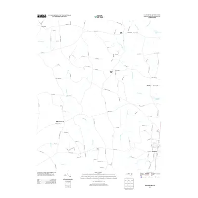
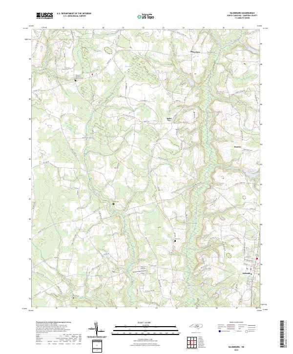
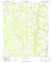 1974 Salemburg1977 Print · USGSSampson County in the mid-1970s reveals a landscape of rural crossroads and intricate swamp networks. Researchers can trace the communities of Salemburg and Rebel City, locating landmarks like Clement Sch, Crumpler Millpond, and numerous family burial sites.
 - 1986 Map of Bearskin
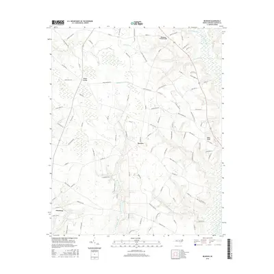
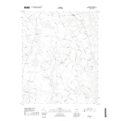
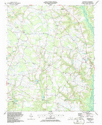 1986 Bearskin1986 Print · USGSSampson County in the mid-1980s is a landscape of rural crossroads and historic church communities. Researchers can trace family roots through local landmarks like Beaman Crossroads, Sampson Chapel, and the settlement of Kitty Fork.
 - 1986 Map of Fayetteville
 1986 Fayetteville1986 Print · USGSThe North Carolina coastal plain appears in the mid-1980s as a bustling corridor of military installations and historic tobacco towns. Genealogists and historians can trace the footprints of Fort Bragg Military Reservation, Campbell University, and the rail lines of the Seaboard Coast Line RR.2 unique versions available
 - 2010 Map of Salemburg, 2010 Print
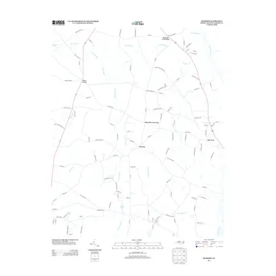
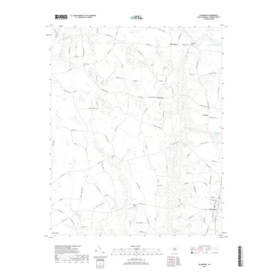
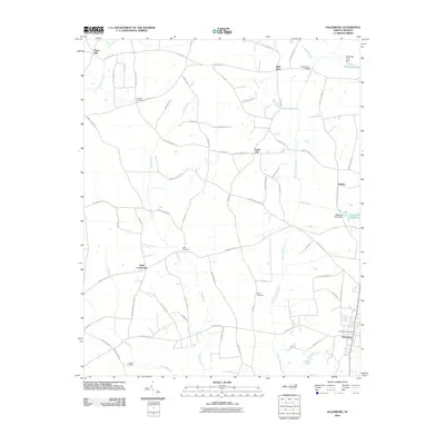 2010 Salemburg2010 Print · USGSCovers Salemburg, including Rebel City, Hays Mill, and other nearby areas
 - 2010 Map of Bearskin, 2010 Print
 2010 Bearskin2010 Print · USGSCovers Salemburg, including Beaman Crossroads, Bearskin, and other nearby areas
 - 2013 Map of Salemburg, 2013 Print
 2013 Salemburg2013 Print · USGSCovers Salemburg, including Rebel City, Hays Mill, and other nearby areas
 - 2013 Map of Bearskin, 2013 Print
 2013 Bearskin2013 Print · USGSCovers Salemburg, including Beaman Crossroads, Bearskin, and other nearby areas
 - 2016 Map of Bearskin, 2016 Print
 2016 Bearskin2016 Print · USGSCovers Salemburg, including Beaman Crossroads, Bearskin, and other nearby areas
 - 2016 Map of Salemburg, 2016 Print
 2016 Salemburg2016 Print · USGSCovers Salemburg, including Rebel City, Hays Mill, and other nearby areas
 - 2019 Map of Bearskin, 2019 Print
 2019 Bearskin2019 Print · USGSCovers Salemburg, including Beaman Crossroads, Bearskin, and other nearby areas
 - 2019 Map of Salemburg, 2019 Print
 2019 Salemburg2019 Print · USGSCovers Salemburg, including Rebel City, Hays Mill, and other nearby areas
 - 2022 Map of Salemburg, 2022 Print
 2022 Salemburg2022 Print · USGSCoastal plain settlements and family-named cemeteries dominate this recent survey of Sampson County, North Carolina. Researchers can trace land use patterns near Salemburg and locate ancestral sites like Halls Cem or the Minson M Williams Memorial Cem along the Big Swamp drainage.
 - 2022 Map of Bearskin, 2022 Print
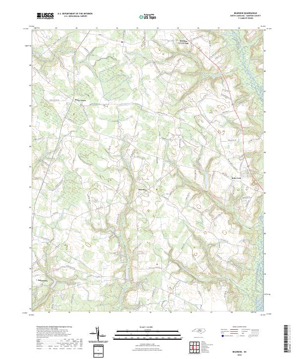 2022 Bearskin2022 Print · USGSSampson County at the start of the 2020s remains a landscape shaped by its intricate swamp networks and rural crossroads. Researchers can trace family-named routes and small communities like Kitty Fork, Piney Green, and the waters of Halls Pond.
End of results
Showing maps 1-16 of 16
Top cities near Salemburg
- Clinton historical maps
- Roseboro historical maps
- Stedman historical maps
- Newton Grove historical maps
- Keener historical maps
- Wade historical maps
See more
Frequently asked questions
- What are the different types of historical maps available for Salemburg?
- What is the oldest map of Salemburg?
- Where can I purchase historical maps of Salemburg for my home or office?
- Where can I download high-res historical maps of Salemburg?
- Are there historical topographic maps available for Salemburg?
- Is there historical aerial imagery available for Salemburg?
- Where are historical maps of Salemburg sourced from?