2000s (21st Century) Maps of Badin, North Carolina
Explore 10 historic maps of Badin from the 2000s (21st Century). These maps offer a rare glimpse into what life looked like during the 2000s — showing old roads, neighborhoods, homes, and landmarks that have changed or disappeared over time.
Whether you're researching your family's past, planning a metal detecting trip, or studying how Badin's landscape evolved across the 2000s, these high-resolution maps are a powerful tool for exploring the history of this region.
- Focus on a specific era: All maps on this page are from the 2000s, giving you a focused view of this time period.
- See what’s changed: Compare century-old streets, trails, and buildings to today's modern landscape using overlays and satellite layers.
- Research with precision: Use these maps for genealogy, historical research, land use analysis, or educational projects.
- View, download, or print: Maps are fully viewable online in high resolution, and can be downloaded or printed for your own records.
Start exploring Badin's history through authentic maps from the 2000s. This is your window into the past.
Badin, NC maps
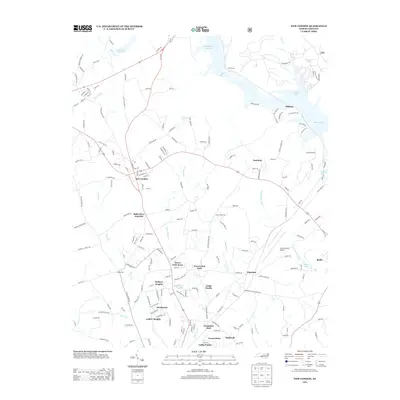
(10)- 2011 Map of New London, 2011 Print
 2011 New London2011 Print · USGSCovers Badin, including Albemarle, Richfield, and other nearby areas
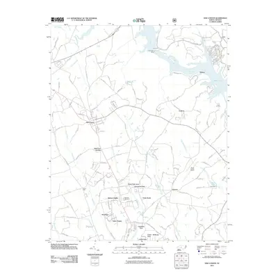
 - 2011 Map of Badin, 2011 Print
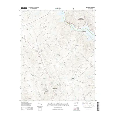
 2011 Badin2011 Print · USGSCovers Badin, including Blaine, Eldorado, and other nearby areas
 - 2013 Map of Badin, 2013 Print
 2013 Badin2013 Print · USGSCovers Badin, including Blaine, Eldorado, and other nearby areas
 - 2013 Map of New London, 2013 Print
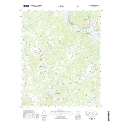
 2013 New London2013 Print · USGSCovers Badin, including Albemarle, Richfield, and other nearby areas
 - 2016 Map of New London, 2016 Print
 2016 New London2016 Print · USGSCovers Badin, including Albemarle, Richfield, and other nearby areas
 - 2016 Map of Badin, 2016 Print
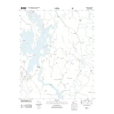
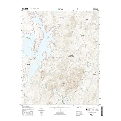 2016 Badin2016 Print · USGSCovers Badin, including Blaine, Eldorado, and other nearby areas
 - 2019 Map of Badin, 2019 Print
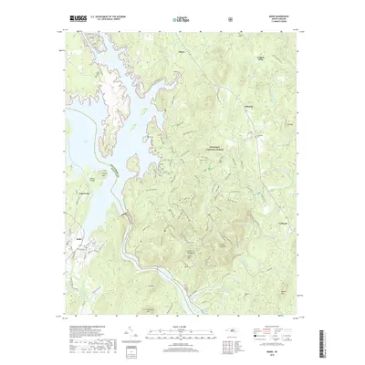 2019 Badin2019 Print · USGSCovers Badin, including Blaine, Eldorado, and other nearby areas
 - 2019 Map of New London, 2019 Print
 2019 New London2019 Print · USGSCovers Badin, including Albemarle, Richfield, and other nearby areas
 - 2022 Map of Badin, 2022 Print
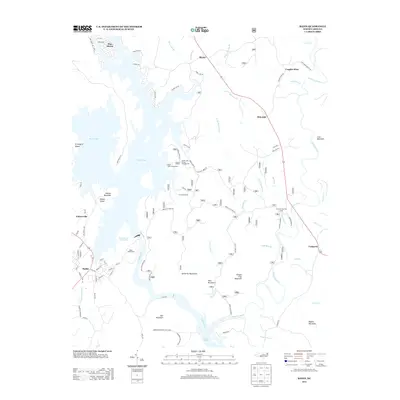
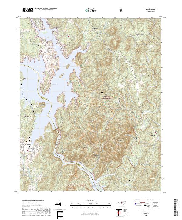 2022 Badin2022 Print · USGSThe border of Stanly and Montgomery counties comes alive in this 2022 survey of the North Carolina backcountry. Genealogists and historians can trace family plots at Lanes Chapel Cem and Macedonia Cem or explore the industrial legacy of the Coggins Mine near Eldorado.
 - 2022 Map of New London, 2022 Print
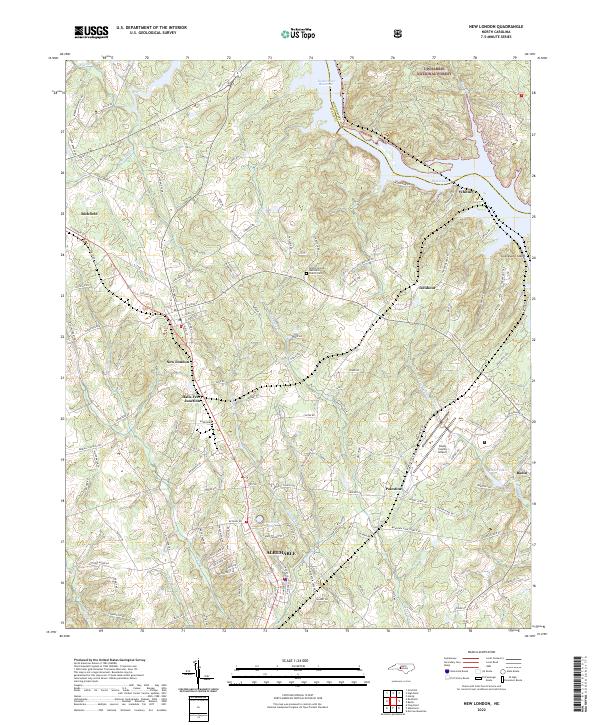 2022 New London2022 Print · USGSStanly County at the edge of the Uwharrie hills shows a landscape shaped by water and rail in this recent survey. Researchers can trace the Winston-Salem Southbound tracks through New London and Richfield or locate local landmarks like the Bethel (United Methodist Church) Cem.
End of results
Showing maps 1-10 of 10
Top cities near Badin
- Albemarle historical maps
- Troy historical maps
- Norwood historical maps
- Denton historical maps
- Mount Gilead historical maps
- Oakboro historical maps
See more
Frequently asked questions
- What are the different types of historical maps available for Badin?
- What is the oldest map of Badin?
- Where can I purchase historical maps of Badin for my home or office?
- Where can I download high-res historical maps of Badin?
- Are there historical topographic maps available for Badin?
- Is there historical aerial imagery available for Badin?
- Where are historical maps of Badin sourced from?