Old Maps of Badin, North Carolina for Genealogy
Trace your family roots with 15 historic maps of Badin. These high-res maps reveal old neighborhoods, homesites, landmarks, and streets — helping you uncover where your ancestors lived and how the area evolved over time.
- Explore historic neighborhoods: Identify where your relatives may have lived in the 1800s or 1900s.
- Compare maps over time: Trace the changes in streets, buildings, and landmarks for multi-generational research.
- Perfect for genealogy & ancestry research: Used by family historians and researchers to map out lineage and migration.
These maps are an incredible resource for exploring your personal connection to Badin's past.
Badin, NC maps
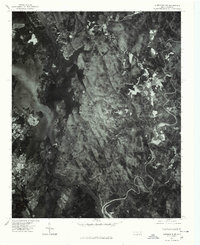
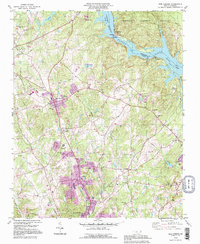
(15)- 1953 Map of Charlotte, 1968 Print
 1953 Charlotte1968 Print · USGSCovers Badin, including Charlotte, Winston-Salem, and other nearby areas3 unique versions available
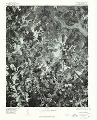
 - 1954 Map of Charlotte
 1954 Charlotte1954 Print · USGSCovers Badin, including Charlotte, Winston-Salem, and other nearby areas2 unique versions available
 - 1957 Map of Albemarle, 1958 Print
 1957 Albemarle1958 Print · USGSCovers Badin, including Albemarle, Norwood, and other nearby areas2 unique versions available
 - 1960 Map of Charlotte
 1960 Charlotte1960 Print · USGSCovers Badin, including Charlotte, Winston-Salem, and other nearby areas2 unique versions available
 - 1962 Map of Charlotte
 1962 Charlotte1962 Print · USGSCovers Badin, including Charlotte, Winston-Salem, and other nearby areas
 - 1977 Map of Albemarle NE, 1979 Print
 1977 Albemarle NE1979 Print · USGSCovers Badin, including Blaine, Pine Haven, and other nearby areas
 - 1977 Map of Albemarle NW, 1979 Print
 1977 Albemarle NW1979 Print · USGSCovers Badin, including Albemarle, Richfield, and other nearby areas
 - 1980 Map of New London
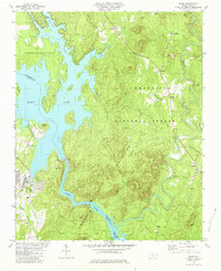
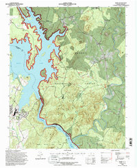
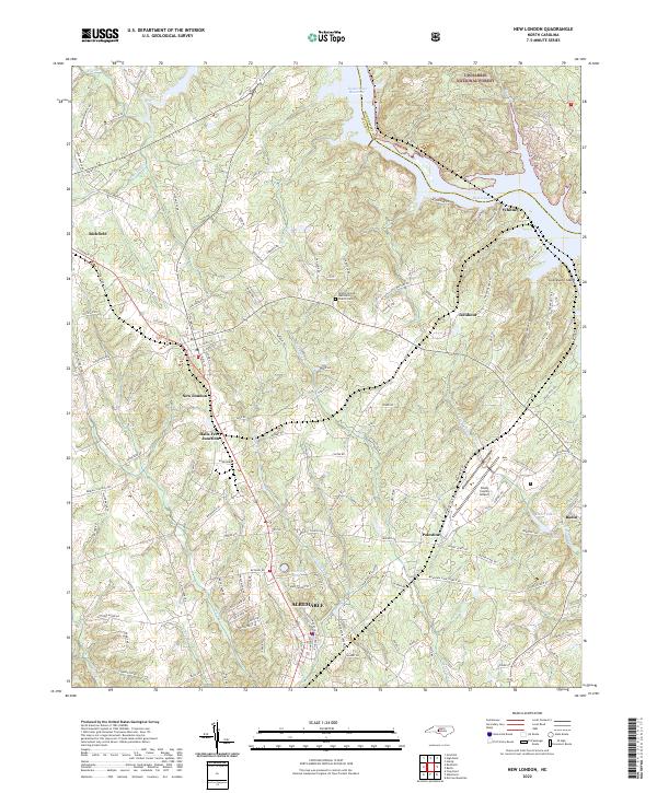
 1980 New London1980 Print · USGSCovers Badin, including Albemarle, Richfield, and other nearby areas2 unique versions available
 - 1981 Map of Badin
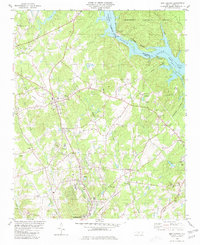
 1981 Badin1981 Print · USGSCovers Badin, including Blaine, Pine Haven, and other nearby areas2 unique versions available
 - 1985 Map of Charlotte, 1986 Print
 1985 Charlotte1986 Print · USGSCovers Badin, including Charlotte, Concord, and other nearby areas2 unique versions available
 - 1993 Map of New London, 1996 Print
 1993 New London1996 Print · USGSCovers Badin, including Albemarle, Richfield, and other nearby areas
 - 1994 Map of Badin, 1996 Print
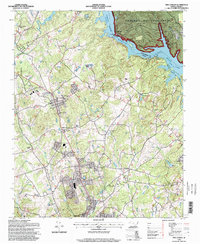
 1994 Badin1996 Print · USGSCovers Badin, including Blaine, Pine Haven, and other nearby areas2 unique versions available
 - 1994 Map of New London, 1998 Print
 1994 New London1998 Print · USGSCovers Badin, including Albemarle, Richfield, and other nearby areas
 - 2022 Map of Badin, 2022 Print
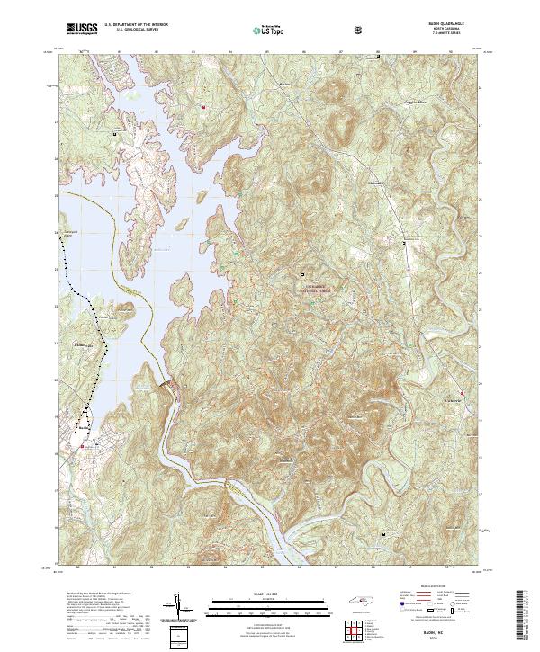 2022 Badin2022 Print · USGSCovers Badin, including Blaine, Palmerville, and other nearby areas
 - 2022 Map of New London, 2022 Print
 2022 New London2022 Print · USGSCovers Badin, including Albemarle, Richfield, and other nearby areas
End of results
Showing maps 1-15 of 15
Top cities near Badin
- Albemarle historical maps
- Troy historical maps
- Norwood historical maps
- Denton historical maps
- Mount Gilead historical maps
- Oakboro historical maps
See more
Frequently asked questions
- What are the different types of historical maps available for Badin?
- What is the oldest map of Badin?
- Where can I purchase historical maps of Badin for my home or office?
- Where can I download high-res historical maps of Badin?
- Are there historical topographic maps available for Badin?
- Is there historical aerial imagery available for Badin?
- Where are historical maps of Badin sourced from?