Old Maps of Badin, North Carolina for Academic Research
Study the evolution of Badin with 23 high-resolution historic maps. Whether you're teaching, researching, or modeling changes in land use, these maps provide essential visual documentation of urban, environmental, and geographic change.
- Analyze long-term change: Track patterns in development, transportation, and natural features.
- Ideal for environmental or urban studies: Support academic projects with primary historical map data.
- Use in the classroom or lab: Educators and researchers rely on these maps to bring historical context to life.
These maps are a powerful tool for teaching, research, and visualizing how Badin has changed over the decades.
Badin, NC maps
(23)- 1953 Map of Charlotte, 1968 Print
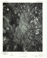
 1953 Charlotte1968 Print · USGSThe North Carolina Piedmont and South Carolina borderlands are shown in detail during a period of significant growth and reservoir development. Trace the rail corridors of the Southern Railway or find family roots in towns like China Grove, Misenheimer, and Lincolnton.3 unique versions available
 - 1954 Map of Charlotte
 1954 Charlotte1954 Print · USGSThe North Carolina Piedmont in the mid-1950s shows a region of rapid growth and industrial expansion centered around Charlotte. Trace the era's infrastructure through the Southern railroad lines and locate significant landmarks like the Charlotte Naval Ammunition Depot and Lake Norman.2 unique versions available
 - 1957 Map of Albemarle, 1958 Print
 1957 Albemarle1958 Print · USGSThe Stanly County landscape in the mid-fifties is defined by the growing city of Albemarle and the newly formed reservoirs along the Yadkin River. Genealogists and historians can trace family locations near Bethel Ch, Goggins Mine, and the old Austins Mill.2 unique versions available
 - 1960 Map of Charlotte
 1960 Charlotte1960 Print · USGSMid-century North Carolina and South Carolina meet in this 1960 survey of the Piedmont's industrial and textile heartland. Trace the growth of Charlotte alongside historic landmarks like Kings Mountain National Military Park and the Charlotte Naval Ammunition Depot.2 unique versions available
 - 1962 Map of Charlotte
 1962 Charlotte1962 Print · USGSThe North Carolina Piedmont in the early sixties showcases a landscape transformed by massive reservoirs and industrial growth. Researchers can trace the development of Lake Norman, locate the Charlotte Naval Ammunition Depot, or find family landmarks like Wesley Chapel and Brown & Norcott Mills.
 - 1977 Map of Albemarle NE, 1979 Print
 1977 Albemarle NE1979 Print · USGSIn the late 1970s, the Montgomery County landscape was defined by the dense forests of the Uwharrie Mountains and the waters of Badin Lake. Researchers can trace the layout of rural settlements like Eldorado and Blaine through direct aerial imagery.
 - 1977 Map of Albemarle NW, 1979 Print
 1977 Albemarle NW1979 Print · USGSStanly County in the late seventies is shown in remarkable aerial detail, reflecting the transition between rural agriculture and town growth. Trace old property lines and community landmarks like Austins Mill, New London, and the shores of Badin Lake.
 - 1980 Map of New London
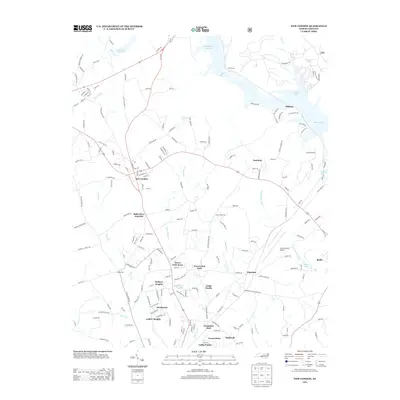
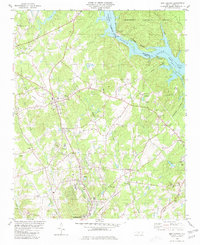 1980 New London1980 Print · USGSStanly County life in the late seventies centers on the industrial and rail corridors between New London and the Yadkin River. Researchers can trace old family sites and rural landmarks like Parker Memorial Ch, Halls Ferry Jct, and the Claypits near Isenhour.2 unique versions available
 - 1981 Map of Badin
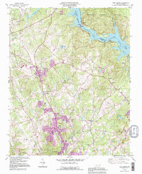
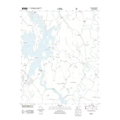
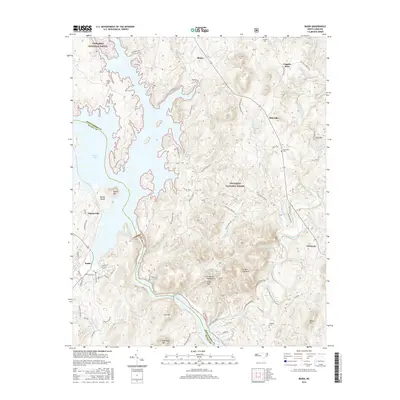
 1981 Badin1981 Print · USGSThe Yadkin River corridor and the Uwharrie Mountains come into sharp focus in this early 1980s survey of the Stanly and Montgomery county line. Genealogists and historians can locate rural landmarks like Coggins Mine, Russell Cem, and the old community of Eldorado.2 unique versions available
 - 1985 Map of Charlotte, 1986 Print
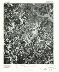
 1985 Charlotte1986 Print · USGSThe Piedmont region in the mid-eighties shows the rapid growth of the Charlotte metro area alongside established textile and college towns. Trace local heritage at the Reed Gold Mine or explore the rail corridors of the Southern Railway and Winston-Salem Southbound Railway.2 unique versions available
 - 1993 Map of New London, 1996 Print
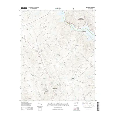
 1993 New London1996 Print · USGSStanly County’s industrial and rural landscape is captured here during a time of notable growth and infrastructure development. Genealogists and historians can trace local landmarks like the Island Graveyard, Parker Memorial Ch Cem, and the old settlement at Palestine.
 - 1994 Map of Badin, 1996 Print
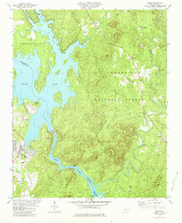
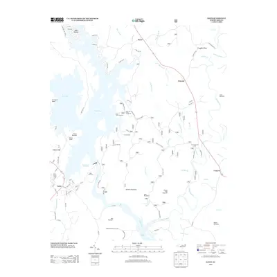
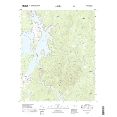
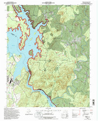 1994 Badin1996 Print · USGSThe Uwharrie Mountains and the sprawling waters of Badin Lake define this North Carolina landscape in the mid-nineties. Researchers can locate family landmarks like Russell Cem, the Coggins Mine, and the historic Badin Sch.2 unique versions available
 - 1994 Map of New London, 1998 Print
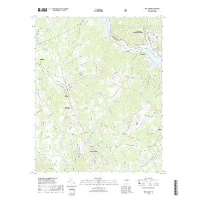
 1994 New London1998 Print · USGSStanly County at the close of the twentieth century shows a landscape shaped by the Yadkin River and a network of rural communities. Researchers can locate family landmarks such as Parkers Grove Ch, trace the Winston-Salem Southbound rail line, or explore the developed shores of Badin Lake.
 - 2011 Map of New London, 2011 Print
 2011 New London2011 Print · USGSCovers Badin, including Albemarle, Richfield, and other nearby areas
 - 2011 Map of Badin, 2011 Print
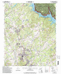
 2011 Badin2011 Print · USGSCovers Badin, including Blaine, Eldorado, and other nearby areas
 - 2013 Map of Badin, 2013 Print
 2013 Badin2013 Print · USGSCovers Badin, including Blaine, Eldorado, and other nearby areas
 - 2013 Map of New London, 2013 Print
 2013 New London2013 Print · USGSCovers Badin, including Albemarle, Richfield, and other nearby areas
 - 2016 Map of New London, 2016 Print
 2016 New London2016 Print · USGSCovers Badin, including Albemarle, Richfield, and other nearby areas
 - 2016 Map of Badin, 2016 Print
 2016 Badin2016 Print · USGSCovers Badin, including Blaine, Eldorado, and other nearby areas
 - 2019 Map of Badin, 2019 Print
 2019 Badin2019 Print · USGSCovers Badin, including Blaine, Eldorado, and other nearby areas
 - 2019 Map of New London, 2019 Print
 2019 New London2019 Print · USGSCovers Badin, including Albemarle, Richfield, and other nearby areas
 - 2022 Map of Badin, 2022 Print
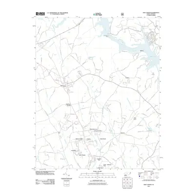
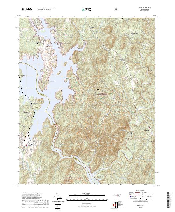 2022 Badin2022 Print · USGSThe border of Stanly and Montgomery counties comes alive in this 2022 survey of the North Carolina backcountry. Genealogists and historians can trace family plots at Lanes Chapel Cem and Macedonia Cem or explore the industrial legacy of the Coggins Mine near Eldorado.
 - 2022 Map of New London, 2022 Print
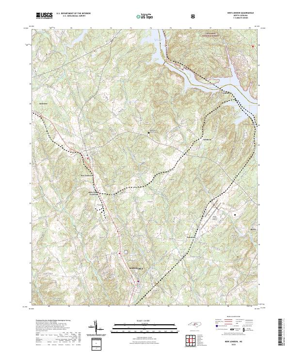 2022 New London2022 Print · USGSStanly County at the edge of the Uwharrie hills shows a landscape shaped by water and rail in this recent survey. Researchers can trace the Winston-Salem Southbound tracks through New London and Richfield or locate local landmarks like the Bethel (United Methodist Church) Cem.
End of results
Showing maps 1-23 of 23
Top cities near Badin
- Albemarle historical maps
- Troy historical maps
- Norwood historical maps
- Denton historical maps
- Mount Gilead historical maps
- Oakboro historical maps
See more
Frequently asked questions
- What are the different types of historical maps available for Badin?
- What is the oldest map of Badin?
- Where can I purchase historical maps of Badin for my home or office?
- Where can I download high-res historical maps of Badin?
- Are there historical topographic maps available for Badin?
- Is there historical aerial imagery available for Badin?
- Where are historical maps of Badin sourced from?