Old Maps of Braewyck, King for Metal Detecting
Plan your next treasure hunt with 11 historic maps of Braewyck. Find old homesites, ghost towns, trails, and gathering spots that may be lost to time — perfect for identifying promising metal detecting locations.
- Locate forgotten sites: Uncover places like long-lost settlements, abandoned rail lines, or gathering spots.
- Plan better hunts: Use map overlays combined with LiDAR or satellite views to narrow in on historically rich areas.
- Made for detectorists: Thousands of hobbyists use these maps to discover relics, coins, and hidden history.
Use these historic maps to boost your research and find new opportunities beneath the surface of Braewyck.
Braewyck, King maps
(11)- 1953 Map of Winston-Salem, 1974 Print
 1953 Winston-Salem1974 Print · USGSThe North Carolina Piedmont and Virginia highlands meet in the mid-1950s, a landscape defined by the tobacco and textile hubs of the Blue Ridge foothills. Researchers can trace the rail-and-river geography connecting Winston-Salem to mountain towns like Mount Airy and Galax.2 unique versions available
 - 1955 Map of Winston-Salem
 1955 Winston-Salem1955 Print · USGSThe Central Blue Ridge and Piedmont transition are captured here in the mid-fifties, from the industrial hub of Winston-Salem to the high peaks of Southwest Virginia. Genealogists can trace family landmarks like Richmond Hill Ch, Siloam Ch, and the old rail stops along the Southern Railway.
 - 1962 Map of Winston-Salem
 1962 Winston-Salem1962 Print · USGSThe North Carolina Piedmont meets the Virginia highlands in the early sixties, showing the rail corridors and mountain gaps of the southern Appalachians. Researchers can trace the Blue Ridge Parkway or locate family sites near Winston-Salem, Mount Airy, and Hanging Rock Mountain.
 - 1964 Map of King, 1965 Print
 1964 King1965 Print · USGSStokes County and the Piedmont plateau are captured here in the mid-sixties as small rural communities like Quaker Gap and Mountain View thrive. Genealogists can trace family landmarks and rural life through Jefferson Church, the King Airport, and numerous small cemeteries.3 unique versions available
 - 1984 Map of Winston-Salem, 1985 Print
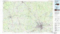 1984 Winston-Salem1985 Print · USGSThe North Carolina Piedmont in the mid-1980s shows the growth of Winston-Salem and the busy rail corridors of the Southern Railway. Genealogists and local historians can trace family-named lands and rural communities from Yadkinville to Mount Airy.2 unique versions available
 - 1996 Map of King, 2001 Print
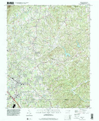 1996 King2001 Print · USGSThe borderlands of Forsyth and Stokes County come alive in the late nineties, from the growing streets of King to the peaks of Sauratown Mtn. Genealogists and historians can trace family burial sites like Sizemore Cem and Old Mt Olive Cem near old crossroads like Capella.
 - 2010 Map of King, 2010 Print
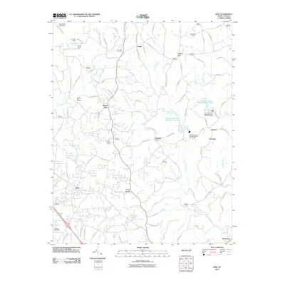 2010 King2010 Print · USGSStokes County at the start of the decade reveals a landscape of ridge-side communities and watershed management. Genealogists and local historians can locate family burial grounds like Old Mount Olive Cemetery and trace the drainage of Town Fork Creek near Quaker Gap.
 - 2013 Map of King, 2013 Print
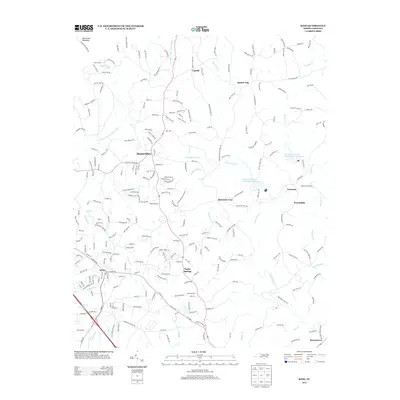 2013 King2013 Print · USGSStokes County communities like King and Poplar Springs are shown here as they appeared in the early twenty-first century. Researchers can trace local development across rural landmarks such as Camp Hanes, Quaker Gap, and the banks of the E Prong Little Yadkin River.
 - 2016 Map of King, 2016 Print
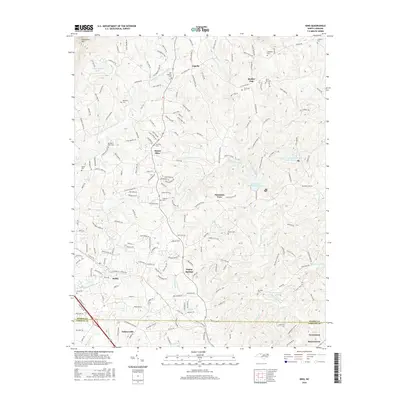 2016 King2016 Print · USGSThe foothills of the Piedmont come alive in this modern survey of the Stokes and Forsyth County line. Local historians can trace family roots through numerous burial sites like Old Mount Olive Cem and Stevenson Cem near the slopes of Sauratown Mtn.
 - 2019 Map of King, 2019 Print
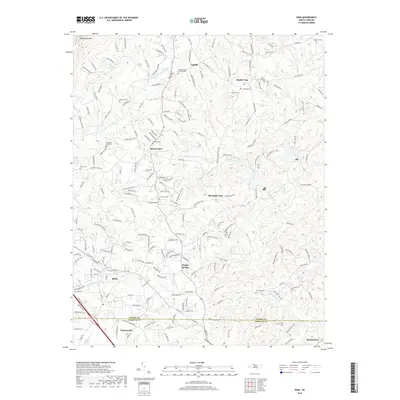 2019 King2019 Print · USGSStokes County and the Piedmont plateau are showcased here during a period of modern rural development. Genealogists and local historians can trace family land and community centers through numerous landmarks like Poplar Springs, Timmons Cem, and Quaker Gap.
 - 2022 Map of King, 2022 Print
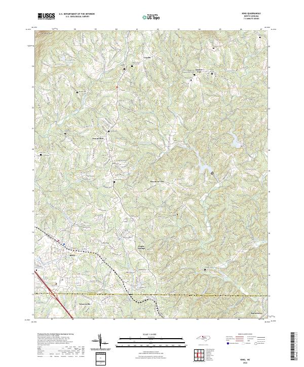 2022 King2022 Print · USGSStokes County and the northern Piedmont are captured here in the early twenty-first century as the town of KING expands toward Sauratown Mountain. Researchers can locate numerous family burial sites and rural landmarks, including Old Mount Olive Cemetery, Quaker Gap, and Poplar Springs.
End of results
Showing maps 1-11 of 11
Frequently asked questions
- What are the different types of historical maps available for Braewyck?
- What is the oldest map of Braewyck?
- Where can I purchase historical maps of Braewyck for my home or office?
- Where can I download high-res historical maps of Braewyck?
- Are there historical topographic maps available for Braewyck?
- Is there historical aerial imagery available for Braewyck?
- Where are historical maps of Braewyck sourced from?