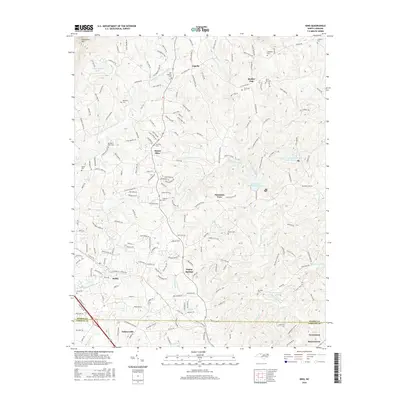
2016 Map of King
USGS Topo · Published 2016About this map
King and Tobaccoville anchor the southern boundary of this landscape, where the foothills of the western Piedmont begin to rise toward Sauratown Mtn. The terrain is defined by a dense network of tributaries including Town Fork Creek and the E Prong Little Yadkin River, which have shaped the settlement patterns of rural communities like Poplar Springs and Mount Olive. This map provides significant detail for family historians, documenting numerous burial sites such as the Old Capella Cem, Tillotson Cem, and Browder Cem. The geography reflects a transition from the developing municipal centers near the Stokes and Forsyth County line to the more dispersed agricultural ridges and valleys of the north, where small landmarks like Quaker Gap and Capella represent long-standing local crossroads.
Find a feature on this map
196 named features on this map. Tap any name to fly to it.
Don’t see what you’re looking for? This feature index may not catch every label — zoom into the map to look around manually.
Map Details
Editions of this 2016 King Map
This is the sole edition of this map. No revisions or reprints were ever made.
Other maps of this area

1951 · Rural Hall
USGS Topo · 1:24,000

1951 · Walkertown
USGS Topo · 1:24,000

1953 · Winston-Salem
USGS Topo · 1:250,000

1955 · Winston-Salem
USGS Topo · 1:250,000

1962 · Winston-Salem
USGS Topo · 1:250,000

1964 · Hanging Rock
USGS Topo · 1:24,000

1964 · Pinnacle
USGS Topo · 1:24,000

1964 · King
USGS Topo · 1:24,000

1964 · Pilot Mountain
USGS Topo · 1:24,000
1968 · Vienna
USGS Topo · 1:24,000