Old Maps of Mount Airy, North Carolina
Explore 40 old maps of Mount Airy, spanning from 1889 to today. These high-resolution historic maps reveal how streets, neighborhoods, landmarks, and natural features evolved over time — perfect for genealogy, metal detecting, research, and local history exploration.
What you can do with these maps:
- See how Mount Airy changed over time: Compare historical maps to modern-day views to trace roads, homesites, rail lines & more.
- View detailed metadata: Each map includes creators, publishers, year, scale, and archive source.
- Overlay maps with satellite & LiDAR: Visualize the past alongside modern tools to explore terrain & human change.
- Trusted historical sources: Maps sourced from the USGS, Library of Congress, and other archives.
- Access maps your way: View online, download high-res files, or order prints for personal or research use.
Start exploring old maps of Mount Airy to uncover forgotten places, hidden landmarks, and the deep history beneath your feet.
Mount Airy, NC maps
(40)- 1889 Map of Hillsville
 1889 Hillsville1889 Print · USGSThe Blue Ridge Highlands and the upper New River valley are captured in the late 1880s, showcasing a landscape of iron furnaces and mountain gaps. Trace early industrial sites like Boom Furnace and Lead Mines, or locate ancestral homesteads near Hillsville and Old Town.
 - 1891 Map of Yadkinville, 1964 Print
 1891 Yadkinville1964 Print · USGSSurry and Yadkin counties are shown here in the late nineteenth century as the river-and-rail economy began to reshape the Piedmont. Genealogists can trace family landmarks and early crossings like Kapps Mill, Poindexter Ferry, and Cross Roads Church.
 - 1892 Map of Hillsville
 1892 Hillsville1892 Print · USGSSouthwest Virginia in the late nineteenth century is captured here as a landscape of iron furnaces and river crossings. Genealogists and historians can trace old family mills and ferries like Pedegos Mill, Howards Ferry, and the early settlement at Old Town.
 - 1893 Map of Yadkinville, 1944 Print
 1893 Yadkinville1944 Print · USGSNorthwest North Carolina at the close of the nineteenth century was a landscape of river-dependent commerce and mountain ridges. Researchers can trace the early industrial footprint of Kapps Mill, locate remote river crossings like Douglass Ford, and follow the progress of the Cape Fear and Yadkin Valley Railroad.
 - 1896 Map of Hillsville
 1896 Hillsville1896 Print · USGSThe Blue Ridge Highlands and New River corridor appear here in the 1890s, when iron furnaces and river ferries dictated the pace of local life. Researchers can trace ancestral locations near Hillsville, the Lead Mines, and historic river crossings like Jackson Ferry.7 unique versions available
 - 1953 Map of Winston-Salem, 1974 Print
 1953 Winston-Salem1974 Print · USGSThe North Carolina Piedmont and Virginia highlands meet in the mid-1950s, a landscape defined by the tobacco and textile hubs of the Blue Ridge foothills. Researchers can trace the rail-and-river geography connecting Winston-Salem to mountain towns like Mount Airy and Galax.2 unique versions available
 - 1955 Map of Winston-Salem
 1955 Winston-Salem1955 Print · USGSThe Central Blue Ridge and Piedmont transition are captured here in the mid-fifties, from the industrial hub of Winston-Salem to the high peaks of Southwest Virginia. Genealogists can trace family landmarks like Richmond Hill Ch, Siloam Ch, and the old rail stops along the Southern Railway.
 - 1957 Map of Mount Airy, 1959 Print
 1957 Mount Airy1959 Print · USGSThe foothills and ridges of the Blue Ridge border in the late fifties show a landscape of mountain hamlets and growing textile-era towns. Genealogists can trace family landmarks like Webb Ch, Bobbitt Knob, and rural schools from Sunnyside Sch to Elk Spur Sch.2 unique versions available
 - 1962 Map of Winston-Salem
 1962 Winston-Salem1962 Print · USGSThe North Carolina Piedmont meets the Virginia highlands in the early sixties, showing the rail corridors and mountain gaps of the southern Appalachians. Researchers can trace the Blue Ridge Parkway or locate family sites near Winston-Salem, Mount Airy, and Hanging Rock Mountain.
 - 1968 Map of Cana, 1971 Print
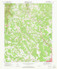 1968 Cana1971 Print · USGSThe Virginia and North Carolina borderlands come alive in this late-sixties survey of the Piedmont foothills. Researchers can trace numerous family-named landmarks and rural institutions, from Mt View Ch and Sandy Ridge School to the communities of Cana and Toast.3 unique versions available
 - 1968 Map of Mount Airy North, 1971 Print
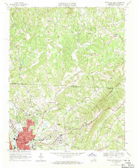 1968 Mount Airy North1971 Print · USGSThe foothills of the Blue Ridge along the Virginia and North Carolina border come into focus in this late 1960s survey. Genealogists can trace family roots through numerous mountain congregations like Ararat Ch, Willis Gap Ch, and Hunter Chapel.3 unique versions available
 - 1970 Map of Mount Airy South, 1973 Print
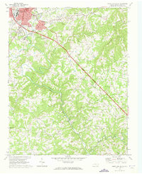 1970 Mount Airy South1973 Print · USGSThe area south of Mount Airy comes alive in this 1970s survey, showing the expansion of settlements like Bannertown and Toast along the Ararat River. Genealogists and historians can trace numerous country landmarks, including Black Water Cem, Ash Hill, and Whitakers Chapel.2 unique versions available
 - 1971 Map of Dobson, 1973 Print
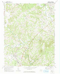 1971 Dobson1973 Print · USGSThe county seat of Dobson is captured in the early seventies alongside emerging institutions and rural crossroads. Genealogists can trace family landmarks like Emmanuel Ch, Franklin Sch, and the riverside settlement of New Hope.3 unique versions available
 - 1976 Map of Cana, 1979 Print
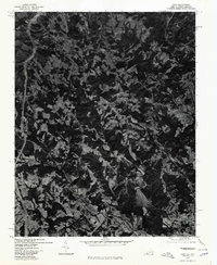 1976 Cana1979 Print · USGSThe Virginia-North Carolina border country comes into view in this mid-1970s aerial study of Carroll County and its neighbors. Genealogists and local historians can trace the exact field lines and road networks surrounding Cana, Toast, and Pine Ridge.
 - 1976 Map of Mount Airy North, 1979 Print
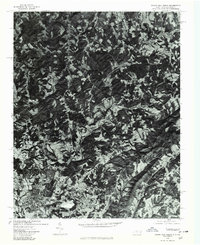 1976 Mount Airy North1979 Print · USGSThe foothills of Surry County appear in photographic detail during the 1970s, centered on the northern edge of the Blue Ridge gateway. Trace the residential growth near Mount Airy and Toast or locate family home sites in Ararat and Flat Rock.
 - 1976 Map of Mount Airy South, 1979 Print
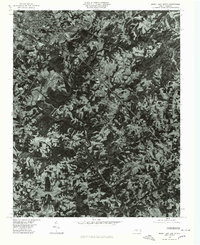 1976 Mount Airy South1979 Print · USGSSurry County communities south of the Virginia border appear in high-altitude detail during the mid-seventies. Researchers can trace the development of residential clusters like Bannertown and Toast along the winding course of the Ararat River.
 - 1976 Map of Dobson, 1979 Print
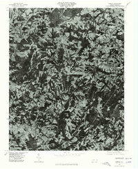 1976 Dobson1979 Print · USGSSurry County at the Bicentennial is captured in this aerial-based survey, showing the rural landscape around the town of Dobson. Local historians can trace exact land use and homestead locations near White Plains, Toast, and Turkey Ford.
 - 1984 Map of Winston-Salem, 1985 Print
 1984 Winston-Salem1985 Print · USGSThe North Carolina Piedmont in the mid-1980s shows the growth of Winston-Salem and the busy rail corridors of the Southern Railway. Genealogists and local historians can trace family-named lands and rural communities from Yadkinville to Mount Airy.2 unique versions available
 - 1986 Map of Galax
 1986 Galax1986 Print · USGSThe Virginia and North Carolina borderlands are captured here in the mid-1980s as the region balanced mountain agriculture with new recreational tourism. Researchers can locate remote family landmarks and rural institutions, from Ferrum Jr College and Siloam Ch to the Pinnacles Powerplant and Archies Mill.2 unique versions available
 - 1996 Map of Mount Airy South, 2000 Print
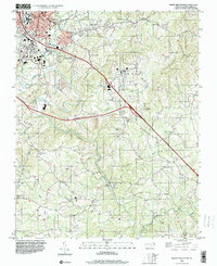 1996 Mount Airy South2000 Print · USGSSurry County experiences significant growth in the mid-1990s as new highway corridors are carved through the Ararat River valley. Genealogists can locate family landmarks at Whitakers Chapel, Boones Hill, and several country cemeteries.
 - 2010 Map of Mount Airy North, 2010 Print
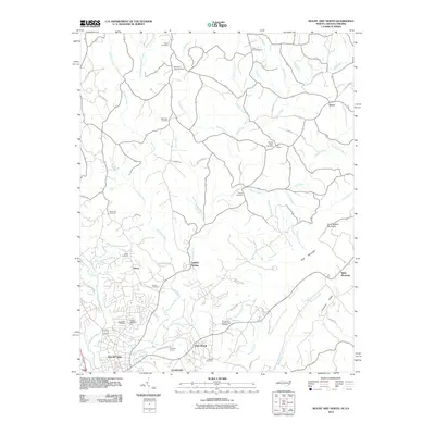 2010 Mount Airy North2010 Print · USGSSurry County communities north of the city center appear at the start of the decade, showing the transition from industry to mountain foothills. Researchers can trace family history through numerous rural burial sites like Gods Acre Cemetery and locate the expansive Flat Rock Quarry.
 - 2010 Map of Cana, 2010 Print
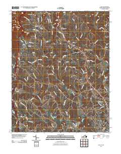 2010 Cana2010 Print · USGSThe foothills of the Blue Ridge along the Virginia-North Carolina border are captured here at a time of quiet rural persistence. Genealogists can trace family footprints through dozens of burial grounds including Flower Gap Cemetery, Saint Paul Cemetery, and the community of Cana.
 - 2010 Map of Dobson, 2010 Print
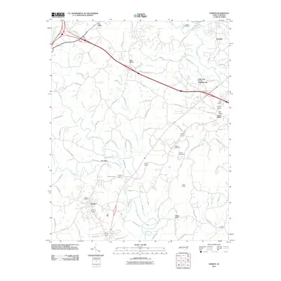 2010 Dobson2010 Print · USGSSurry County near the Blue Ridge foothills is shown here as it appeared in the early 21st century, centered on the community of Dobson. Researchers can trace old family sites and rural settlements near New Hope, Turkey Ford, and the White Plains Cemetery.
 - 2010 Map of Mount Airy South, 2010 Print
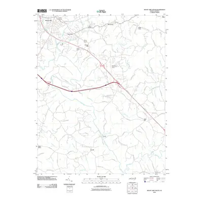 2010 Mount Airy South2010 Print · USGSSurry County communities south of the Blue Ridge appear in great detail during the early twenty-first century. Genealogists and local historians can trace the roads connecting Bannertown, Ararat, and Indian Grove, or locate Whitakers Chapel Cemetery and the Mount Airy-Surry County Airport.
 - 2013 Map of Dobson, 2013 Print
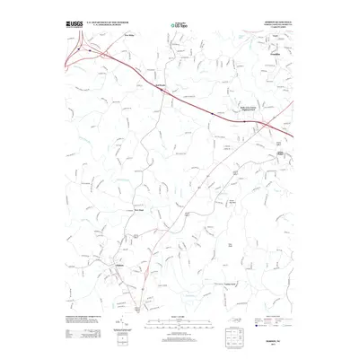 2013 Dobson2013 Print · USGSSurry County's central corridor is captured here in the early twenty-first century as the area surrounding the county seat experienced steady growth. Genealogists and local historians can trace modern property developments and established communities like White Plains, Red Brush, and Toast.
Showing maps 1-25 of 40
Top cities near Mount Airy
- Woodlawn historical maps
- Dobson historical maps
- Pilot Mountain historical maps
- Cana historical maps
- Fancy Gap historical maps
Top neighborhoods of Mount Airy
Frequently asked questions
- What are the different types of historical maps available for Mount Airy?
- What is the oldest map of Mount Airy?
- Where can I purchase historical maps of Mount Airy for my home or office?
- Where can I download high-res historical maps of Mount Airy?
- Are there historical topographic maps available for Mount Airy?
- Is there historical aerial imagery available for Mount Airy?
- Where are historical maps of Mount Airy sourced from?