2000s (21st Century) Maps of Frying Pan, North Carolina
Explore 6 historic maps of Frying Pan from the 2000s (21st Century). These maps offer a rare glimpse into what life looked like during the 2000s — showing old roads, neighborhoods, homes, and landmarks that have changed or disappeared over time.
Whether you're researching your family's past, planning a metal detecting trip, or studying how Frying Pan's landscape evolved across the 2000s, these high-resolution maps are a powerful tool for exploring the history of this region.
- Focus on a specific era: All maps on this page are from the 2000s, giving you a focused view of this time period.
- See what’s changed: Compare century-old streets, trails, and buildings to today's modern landscape using overlays and satellite layers.
- Research with precision: Use these maps for genealogy, historical research, land use analysis, or educational projects.
- View, download, or print: Maps are fully viewable online in high resolution, and can be downloaded or printed for your own records.
Start exploring Frying Pan's history through authentic maps from the 2000s. This is your window into the past.
Frying Pan, NC maps
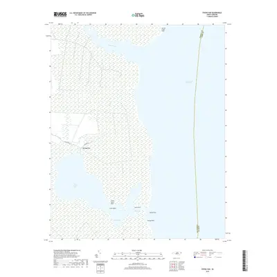
(6)- 2002 Map of Frying Pan
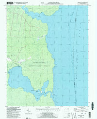 2002 Frying Pan2002 Print · USGSCoastal Tyrrell County is shown here at the turn of the millennium, where the land dissolves into the marshes of the Alligator River. Researchers can trace local landmarks like Frying Pan Landing, Free Union Ch, and the secluded waters of The Frying Pan.
 - 2010 Map of Frying Pan, 2010 Print
 2010 Frying Pan2010 Print · USGSCovers Frying Pan, including Dare County, Tyrrell County, and other nearby areas
 - 2013 Map of Frying Pan, 2013 Print
 2013 Frying Pan2013 Print · USGSCovers Frying Pan, including Dare County, Tyrrell County, and other nearby areas
 - 2016 Map of Frying Pan, 2016 Print
 2016 Frying Pan2016 Print · USGSCovers Frying Pan, including Dare County, Tyrrell County, and other nearby areas
 - 2019 Map of Frying Pan, 2019 Print
 2019 Frying Pan2019 Print · USGSCovers Frying Pan, including Dare County, Tyrrell County, and other nearby areas
 - 2022 Map of Frying Pan, 2022 Print
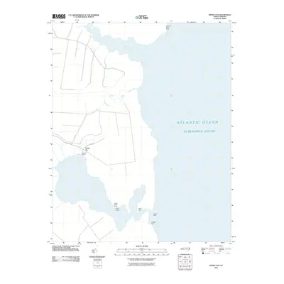
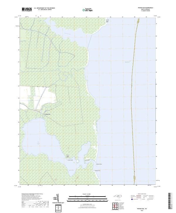 2022 Frying Pan2022 Print · USGSTyrrell County's coastal wetlands and the isolated settlement of Frying Pan are documented in this 2022 survey. Genealogists and historians can trace the shoreline of Babbitt Bay and landforms like Crane Island and Catfish Point.
End of results
Showing maps 1-6 of 6
Top cities near Frying Pan
Frequently asked questions
- What are the different types of historical maps available for Frying Pan?
- What is the oldest map of Frying Pan?
- Where can I purchase historical maps of Frying Pan for my home or office?
- Where can I download high-res historical maps of Frying Pan?
- Are there historical topographic maps available for Frying Pan?
- Is there historical aerial imagery available for Frying Pan?
- Where are historical maps of Frying Pan sourced from?