2020s Maps of Union County, North Carolina
Explore 25 historic maps of Union County from the 2020s. These maps offer a rare glimpse into what life looked like during the 2020s — showing old roads, neighborhoods, homes, and landmarks that have changed or disappeared over time.
Whether you're researching your family's past, planning a metal detecting trip, or studying how Union County's landscape evolved across the 2020s, these high-resolution maps are a powerful tool for exploring the history of this region.
- Focus on a specific era: All maps on this page are from the 2020s, giving you a focused view of this time period.
- See what’s changed: Compare century-old streets, trails, and buildings to today's modern landscape using overlays and satellite layers.
- Research with precision: Use these maps for genealogy, historical research, land use analysis, or educational projects.
- View, download, or print: Maps are fully viewable online in high resolution, and can be downloaded or printed for your own records.
Start exploring Union County's history through authentic maps from the 2020s. This is your window into the past.
Union County, NC maps
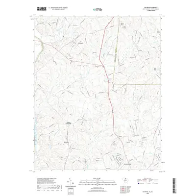
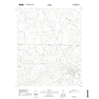
(25)- 2020 Map of Tradesville, 2020 Print
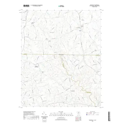 2020 Tradesville2020 Print · USGSCovers Union County, including Stewart Crossroads, Trinity, and other nearby areas
 - 2020 Map of Catawba NE, 2020 Print
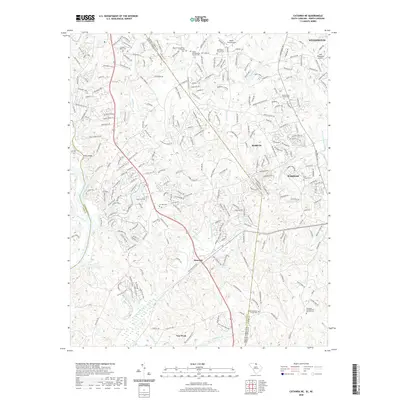 2020 Catawba NE2020 Print · USGSCovers Union County, including Waxhaw, Weddington, and other nearby areas
 - 2020 Map of Unity, 2020 Print
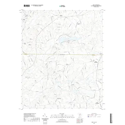 2020 Unity2020 Print · USGSCovers Union County, including New Cut, Jackson, and other nearby areas
 - 2020 Map of Hornsboro, 2020 Print
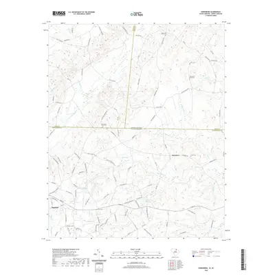 2020 Hornsboro2020 Print · USGSCovers Union County, including Pageland, Maynards, and other nearby areas
 - 2020 Map of Van Wyck, 2020 Print
 2020 Van Wyck2020 Print · USGSCovers Union County, including Lancaster, Shiloh, and other nearby areas
 - 2020 Map of Pageland, 2020 Print
 2020 Pageland2020 Print · USGSCovers Union County, including Pageland, High Point, and other nearby areas
 - 2022 Map of Waxhaw, 2022 Print
 2022 Waxhaw2022 Print · USGSSouthern Union County is captured in this modern survey as it balances its rural heritage with suburban growth. Genealogists can trace family names through numerous sites like Ebenezer Church Cem, Walker Cem, and Wesley Chapel Cem.
 - 2022 Map of Marshville, 2022 Print
 2022 Marshville2022 Print · USGSThe borderlands of Union and Anson counties come into focus here, centered on the historic corridor between Marshville and Peachland. Genealogists can trace family footprints across numerous sites like Sturdivants Crossroads, Bethel Church Cem, and the Meltonville Cem.
 - 2022 Map of Wingate, 2022 Print
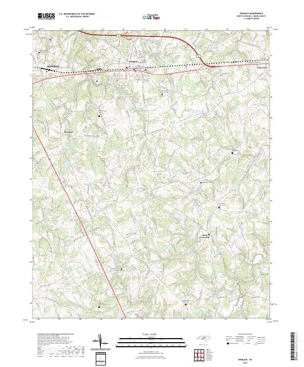 2022 Wingate2022 Print · USGSUnion County's educational and rail corridor comes into focus in the early 2020s, centered on the campus of Wingate University. Researchers can trace dozens of family and congregational landmarks, including Nicey Grove Church Cem, Allens Crossroads, and the CSX Transportation line.
 - 2022 Map of Stanfield, 2022 Print
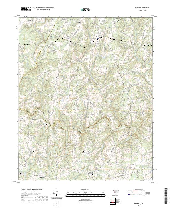 2022 Stanfield2022 Print · USGSThe Piedmont landscape at the intersection of Stanly and Cabarrus counties is defined by the winding Rocky River and rural crossroads. Genealogists can trace family roots at the Austin Family Cem, Biggers Cem, or Antioch Methodist Church Cem.
 - 2022 Map of Monroe, 2022 Print
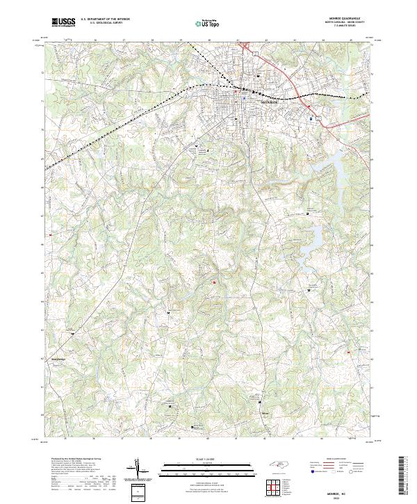 2022 Monroe2022 Print · USGSThe city of Monroe and its southern outskirts are seen here in the 2020s, blending modern civic infrastructure with deep rural roots. Genealogists can trace family holdings and heritage sites through numerous churchyards like Macedonia Church Cem and Sandy Ridge Baptist Church Cem.
 - 2022 Map of Olive Branch, 2022 Print
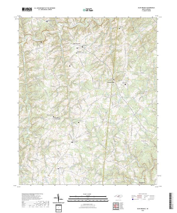 2022 Olive Branch2022 Print · USGSThe rural borderlands of Union and Anson counties are captured here in the early twenty-first century. Genealogists can trace family heritage through landmarks like Baucom Family Cem, Rebel Hill, and the historic Zion Crossroads Church.
 - 2022 Map of Midland, 2022 Print
 2022 Midland2022 Print · USGSMidland and the surrounding Piedmont countryside are shown here at a time of steady suburban growth along the county borders. Genealogists can locate several historic burial sites, including Dulins Grove Advent Christian Church Cem and Rock Hill Church Cem.
 - 2022 Map of Bakers, 2022 Print
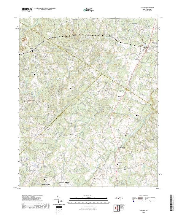
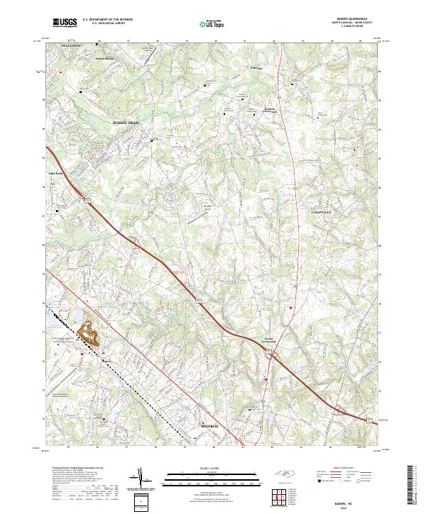 2022 Bakers2022 Print · USGSThe northern Union County landscape near Indian Trail and Monroe is captured here during a period of modern growth. Genealogists can locate several family and church burial grounds, including the Scott Family Cem, Benton Family Cem, and Union Chapel Cem.
 - 2022 Map of Watson, 2022 Print
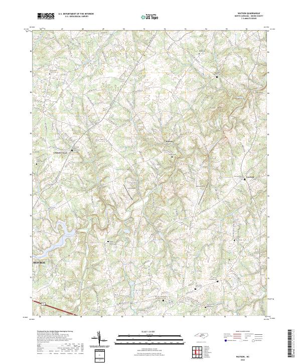 2022 Watson2022 Print · USGSThe rural heart of Union County comes into focus in this contemporary survey of the settlements near Watson and Unionville. Genealogists can trace family footprints across numerous sites including the Strawn Treadway Cem, Williams Cem, and Midway Baptist Church Cem.
 - 2022 Map of Mint Hill, 2022 Print
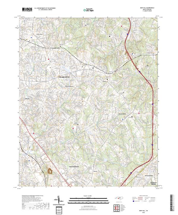 2022 Mint Hill2022 Print · USGSThe eastern edges of Mecklenburg County are shown here in the 2020s, documenting the suburban growth and historic community hubs of MINT HILL and MATTHEWS. Genealogists can locate numerous community landmarks such as Bethel AME Zion Church Cem and Morning Star Lutheran Church Cem.
 - 2022 Map of Matthews, 2022 Print
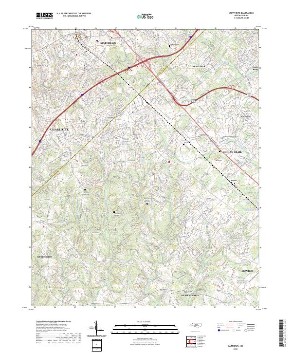 2022 Matthews2022 Print · USGSMecklenburg and Union Counties meet in this modern survey of the growing corridor southeast of Charlotte. Trace the suburban evolution of Matthews and Indian Trail while locating family sites at Antioch Baptist Church Cem and the Seaboard Coast Line RR.
 - 2022 Map of Weddington, 2022 Print
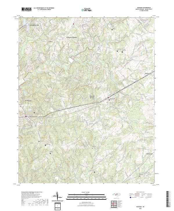
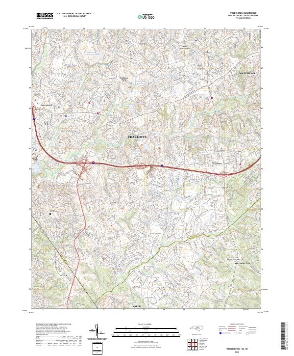 2022 Weddington2022 Print · USGSThe borderlands of Union and Mecklenburg counties are captured here in a period of significant suburban growth. Researchers can locate family heritage sites at the Providence Church Cem or trace the many branches of Sixmile Cr.
 - 2022 Map of Oakboro, 2022 Print
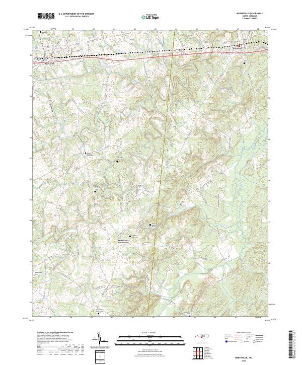
 2022 Oakboro2022 Print · USGSThe rural landscapes of Stanly and Union counties are documented here in the early twenty-first century, centered on the crossroads of Oakboro. Researchers can locate family landmarks like Pleasant Hill Church Cem, Mount Moriah Church, and the winding Rocky River.
 - 2024 Map of Pageland, 2024 Print
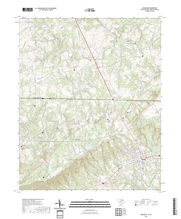 2024 Pageland2024 Print · USGSThe borderlands of Chesterfield and Union counties come alive in this detailed record of the South Carolina and North Carolina state line. Genealogists can trace family roots through numerous burial grounds like James Gathings Cem and the Philadelphia Church Cem near Pageland.
 - 2024 Map of Catawba NE, 2024 Print
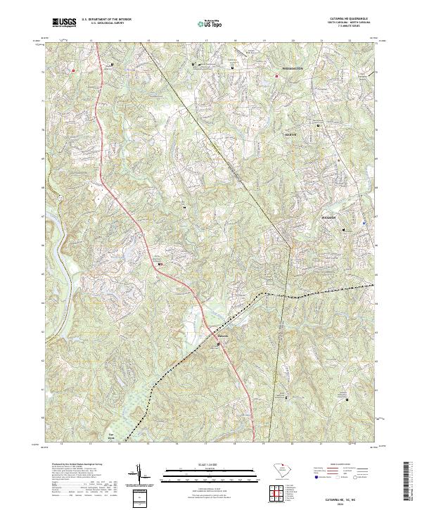 2024 Catawba NE2024 Print · USGSThe Carolina Piedmont comes into focus at the state line during a period of modern growth and suburban expansion. Researchers can trace ancestral roots at the Old Six Mile Church Graveyard or locate landmarks like Banks Presbyterian Church and Hancock.
 - 2024 Map of Hornsboro, 2024 Print
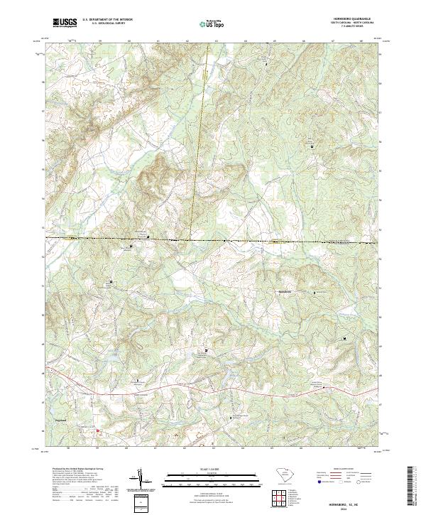 2024 Hornsboro2024 Print · USGSThe Carolina borderlands come into focus in this contemporary survey of the Hornsboro and Pageland vicinity. Researchers can trace rural lineages through numerous burial sites like Salem Church Graveyard and landmarks such as Hutsey Millpond.
 - 2024 Map of Tradesville, 2024 Print
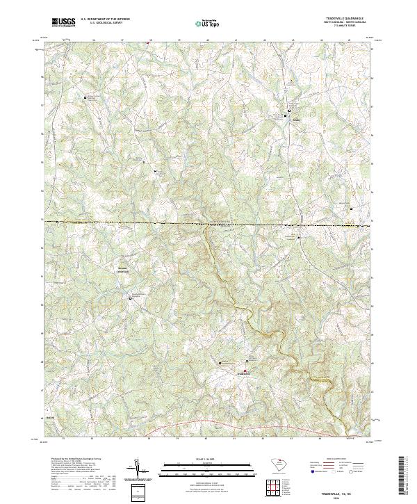 2024 Tradesville2024 Print · USGSThe rural borderlands of Lancaster and Chesterfield counties come to life in this detailed view of the Carolina Piedmont. Genealogists and historians can trace family-named sites like the Walters Family Cem and old parish grounds at Tradesville or Stewart Crossroads.
 - 2024 Map of Van Wyck, 2024 Print
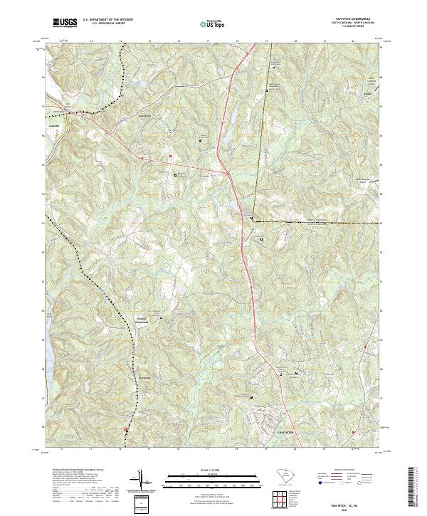 2024 Van Wyck2024 Print · USGSThe river-and-creek landscape of the Carolinas borderland is captured here in detail, showing the rural communities of Van Wyck and Riverside. Genealogists and local historians can trace family roots through numerous burial sites including Cureton Cem and the Waxhaw Church Graveyard.
 - 2024 Map of Unity, 2024 Print
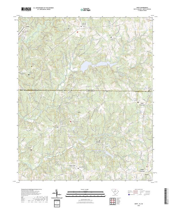 2024 Unity2024 Print · USGSThe North Carolina and South Carolina borderlands come alive in this survey of rural Lancaster and Union counties. Researchers can trace ancestral sites through an abundance of family burial grounds like the Tirzah Presbyterian Church Cem and New Bethel Church Graveyard.
End of results
Showing maps 1-25 of 25
Top cities of Union County
- Monroe historical maps
- Indian Trail historical maps
- Waxhaw historical maps
- Weddington historical maps
- Unionville historical maps
- Fairview historical maps
See more
Frequently asked questions
- What are the different types of historical maps available for Union County?
- What is the oldest map of Union County?
- Where can I purchase historical maps of Union County for my home or office?
- Where can I download high-res historical maps of Union County?
- Are there historical topographic maps available for Union County?
- Is there historical aerial imagery available for Union County?
- Where are historical maps of Union County sourced from?