2000s (21st Century) Maps of Union County, North Carolina
Explore 98 historic maps of Union County from the 2000s (21st Century). These maps offer a rare glimpse into what life looked like during the 2000s — showing old roads, neighborhoods, homes, and landmarks that have changed or disappeared over time.
Whether you're researching your family's past, planning a metal detecting trip, or studying how Union County's landscape evolved across the 2000s, these high-resolution maps are a powerful tool for exploring the history of this region.
- Focus on a specific era: All maps on this page are from the 2000s, giving you a focused view of this time period.
- See what’s changed: Compare century-old streets, trails, and buildings to today's modern landscape using overlays and satellite layers.
- Research with precision: Use these maps for genealogy, historical research, land use analysis, or educational projects.
- View, download, or print: Maps are fully viewable online in high resolution, and can be downloaded or printed for your own records.
Start exploring Union County's history through authentic maps from the 2000s. This is your window into the past.
Union County, NC maps
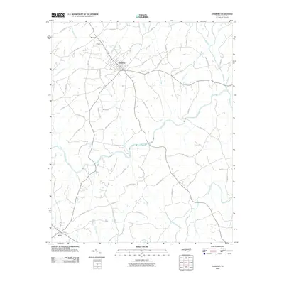
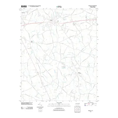
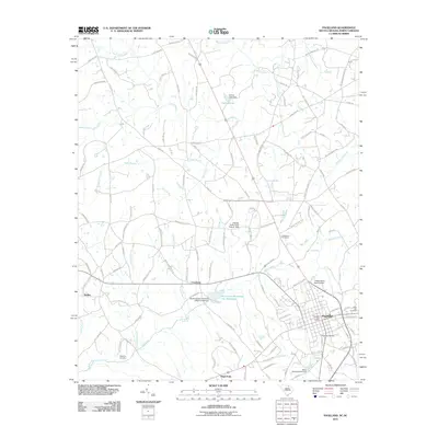
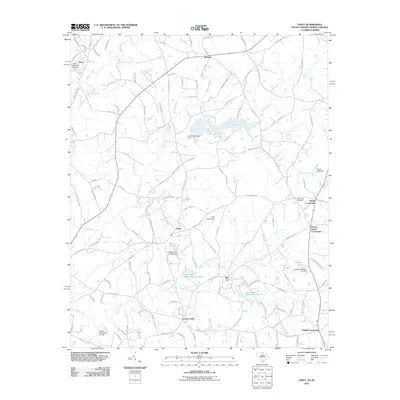
(98)- 2002 Map of Marshville, 2003 Print
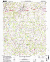
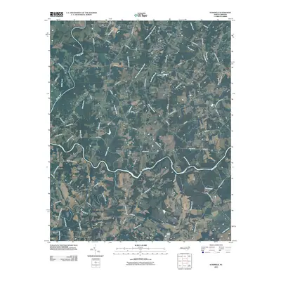
 2002 Marshville2003 Print · USGSMarshville and the surrounding Piedmont countryside are captured here at the start of the new millennium. Researchers can trace rural life through landmarks like Sturdivants Crossroads, White Store, and the many local congregations including Gilboa Ch.
 - 2002 Map of Wingate, 2003 Print
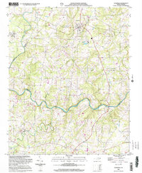
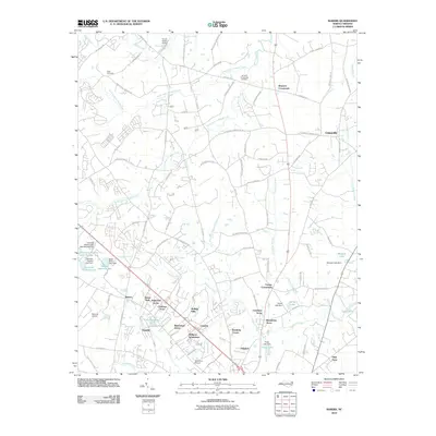
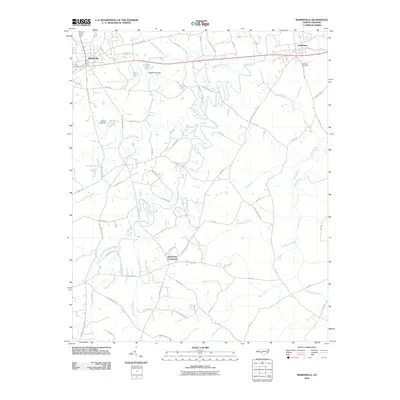
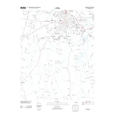
 2002 Wingate2003 Print · USGSUnion County's educational and rural centers are captured here during a period of steady growth at the turn of the millennium. Researchers can trace the development of Wingate College and locate local landmarks like Walker Grove Church and Allens Crossroads.
 - 2002 Map of Stanfield, 2003 Print
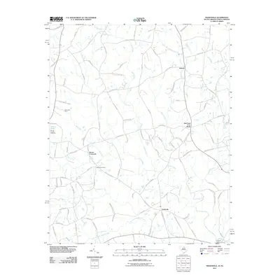
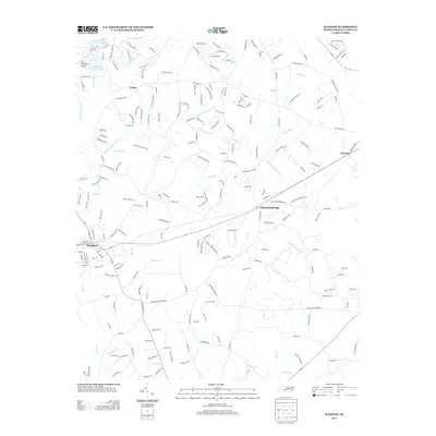
 2002 Stanfield2003 Print · USGSStanly and Cabarrus Counties are captured here at the start of the new millennium as the rural landscape around Midland and Stanfield began to transition. Genealogists can locate numerous community anchors like Philadelphia Ch, Indian Hill Ch, and the Kinza Memorial.
 - 2010 Map of Mint Hill, 2010 Print
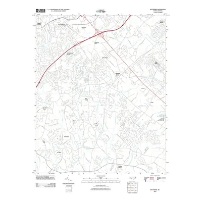
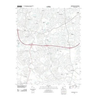
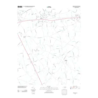
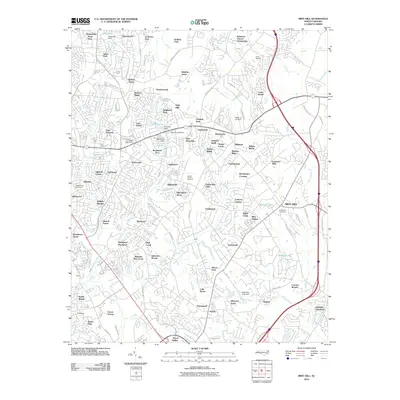 2010 Mint Hill2010 Print · USGSCovers Union County, including Charlotte, Matthews, and other nearby areas
 - 2010 Map of Watson, 2010 Print
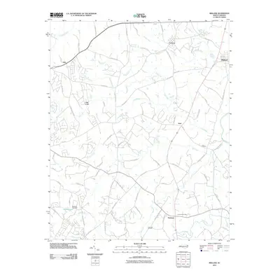
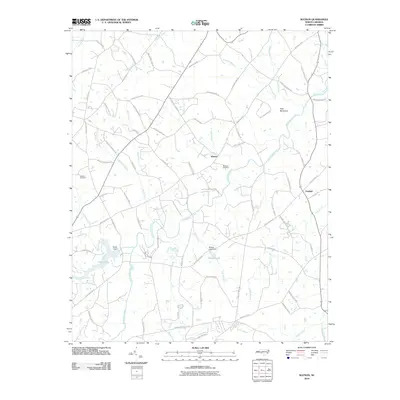 2010 Watson2010 Print · USGSCovers Union County, including Monroe, Unionville, and other nearby areas
 - 2010 Map of Matthews, 2010 Print
 2010 Matthews2010 Print · USGSCovers Union County, including Charlotte, Monroe, and other nearby areas
 - 2010 Map of Oakboro, 2010 Print
 2010 Oakboro2010 Print · USGSCovers Union County, including Oakboro, Red Cross, and other nearby areas
 - 2010 Map of Midland, 2010 Print
 2010 Midland2010 Print · USGSCovers Union County, including Mint Hill, Indian Trail, and other nearby areas
 - 2010 Map of Bakers, 2010 Print
 2010 Bakers2010 Print · USGSCovers Union County, including Monroe, Indian Trail, and other nearby areas
 - 2010 Map of Stanfield, 2010 Print
 2010 Stanfield2010 Print · USGSCovers Union County, including Fairview, Midland, and other nearby areas
 - 2010 Map of Olive Branch, 2010 Print
 2010 Olive Branch2010 Print · USGSCovers Union County, including Peachland, Hamilton Crossroads, and other nearby areas
 - 2010 Map of Monroe, 2010 Print
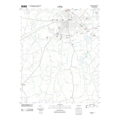 2010 Monroe2010 Print · USGSCovers Union County, including Monroe, Keswick, and other nearby areas
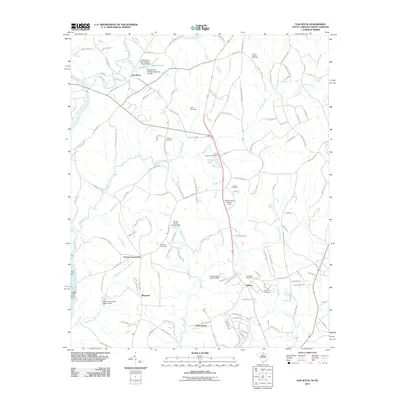
 - 2010 Map of Waxhaw, 2010 Print
 2010 Waxhaw2010 Print · USGSCovers Union County, including Waxhaw, Weddington, and other nearby areas
 - 2010 Map of Wingate, 2010 Print
 2010 Wingate2010 Print · USGSCovers Union County, including Monroe, Wingate, and other nearby areas
 - 2010 Map of Marshville, 2010 Print
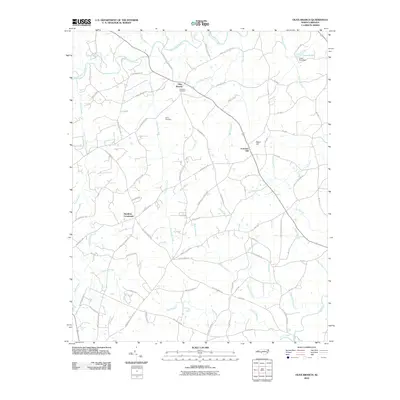
 2010 Marshville2010 Print · USGSCovers Union County, including Marshville, Peachland, and other nearby areas
 - 2011 Map of Weddington, 2011 Print
 2011 Weddington2011 Print · USGSCovers Union County, including Charlotte, Matthews, and other nearby areas
 - 2011 Map of Tradesville, 2011 Print
 2011 Tradesville2011 Print · USGSCovers Union County, including Stewart Crossroads, Trinity, and other nearby areas
 - 2011 Map of Pageland, 2011 Print
 2011 Pageland2011 Print · USGSCovers Union County, including Pageland, High Point, and other nearby areas
 - 2011 Map of Hornsboro, 2011 Print
 2011 Hornsboro2011 Print · USGSCovers Union County, including Pageland, Maynards, and other nearby areas
 - 2011 Map of Catawba NE, 2011 Print
 2011 Catawba NE2011 Print · USGSCovers Union County, including Waxhaw, Weddington, and other nearby areas
 - 2011 Map of Van Wyck, 2011 Print
 2011 Van Wyck2011 Print · USGSCovers Union County, including Lancaster, Shiloh, and other nearby areas
 - 2011 Map of Unity, 2011 Print
 2011 Unity2011 Print · USGSCovers Union County, including New Cut, Jackson, and other nearby areas
 - 2013 Map of Monroe, 2013 Print
 2013 Monroe2013 Print · USGSCovers Union County, including Monroe, Keswick, and other nearby areas
 - 2013 Map of Waxhaw, 2013 Print
 2013 Waxhaw2013 Print · USGSCovers Union County, including Waxhaw, Weddington, and other nearby areas
 - 2013 Map of Wingate, 2013 Print
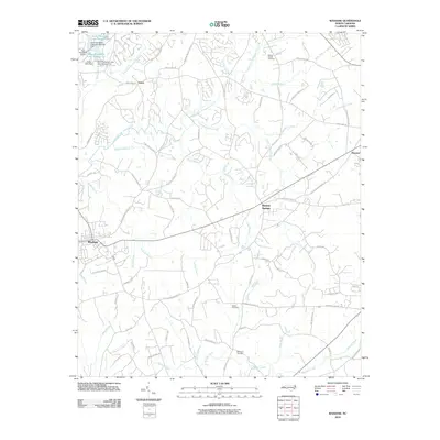
 2013 Wingate2013 Print · USGSCovers Union County, including Monroe, Wingate, and other nearby areas
Showing maps 1-25 of 98
Top cities of Union County
- Monroe historical maps
- Indian Trail historical maps
- Waxhaw historical maps
- Weddington historical maps
- Unionville historical maps
- Fairview historical maps
See more
Frequently asked questions
- What are the different types of historical maps available for Union County?
- What is the oldest map of Union County?
- Where can I purchase historical maps of Union County for my home or office?
- Where can I download high-res historical maps of Union County?
- Are there historical topographic maps available for Union County?
- Is there historical aerial imagery available for Union County?
- Where are historical maps of Union County sourced from?