2010s Maps of Fairview, North Carolina
Explore 12 historic maps of Fairview from the 2010s. These maps offer a rare glimpse into what life looked like during the 2010s — showing old roads, neighborhoods, homes, and landmarks that have changed or disappeared over time.
Whether you're researching your family's past, planning a metal detecting trip, or studying how Fairview's landscape evolved across the 2010s, these high-resolution maps are a powerful tool for exploring the history of this region.
- Focus on a specific era: All maps on this page are from the 2010s, giving you a focused view of this time period.
- See what’s changed: Compare century-old streets, trails, and buildings to today's modern landscape using overlays and satellite layers.
- Research with precision: Use these maps for genealogy, historical research, land use analysis, or educational projects.
- View, download, or print: Maps are fully viewable online in high resolution, and can be downloaded or printed for your own records.
Start exploring Fairview's history through authentic maps from the 2010s. This is your window into the past.
Fairview, NC maps
(12)- 2010 Map of Midland, 2010 Print
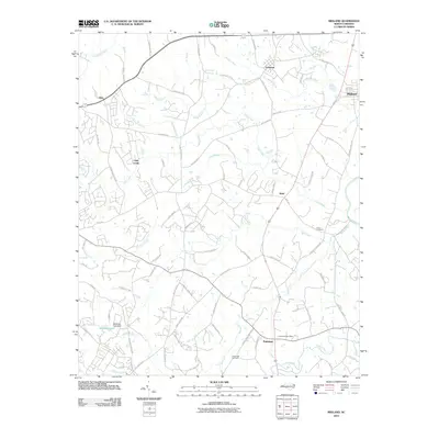 2010 Midland2010 Print · USGSNorth Carolina's Piedmont region near the Cabarrus-Mecklenburg line is shown here at the turn of the twenty-first century. Genealogists and local historians can trace family-named landmarks and old church sites like Union Cemetery, Cockburns Post Office, and the settlement of Brief.
 - 2010 Map of Bakers, 2010 Print
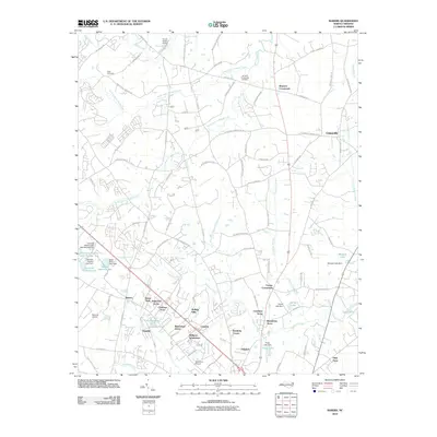 2010 Bakers2010 Print · USGSUnion County, North Carolina, shows a blend of rural crossroads and suburban expansion in the early twenty-first century. Genealogists and local historians can locate legacy sites like Ritch Cemetery and Bentons Crossroads alongside early aviation hubs like Simmons Airport.
 - 2010 Map of Stanfield, 2010 Print
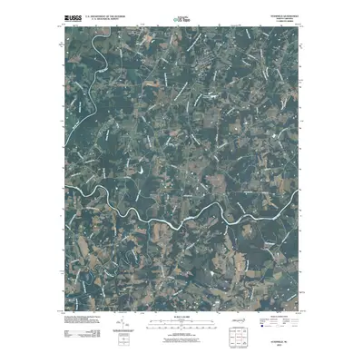 2010 Stanfield2010 Print · USGSCovers Fairview, including Midland, Stanfield, and other nearby areas
 - 2013 Map of Bakers, 2013 Print
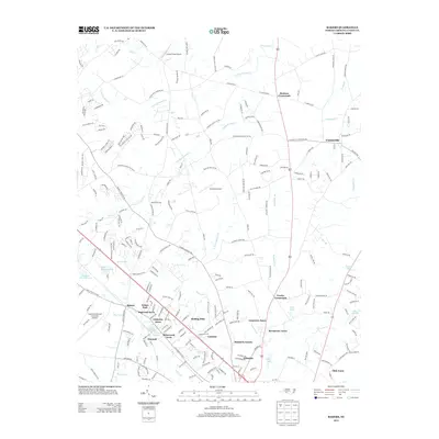 2013 Bakers2013 Print · USGSUnion County enters a new era of residential growth just after the turn of the millennium as traditional crossroads evolve into modern suburbs. Researchers can trace the development of Camelot and Dogwood Acres alongside landmarks like Baker Quarry and Lake Twitty.
 - 2013 Map of Midland, 2013 Print
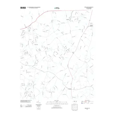 2013 Midland2013 Print · USGSMidland and the surrounding Piedmont communities appear here during their modern transition from rural farmland to residential suburbs. Local researchers can trace old family footprints along Biggers Cemetary Rd, explore the waterways of Goose Cr, and locate early centers like Brief and Allen.
 - 2013 Map of Stanfield, 2013 Print
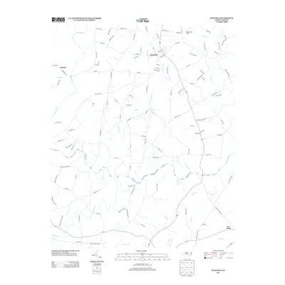 2013 Stanfield2013 Print · USGSStanfield and the Rocky River valley are documented here in the early twenty-first century as they maintain their rural character. Researchers can trace historical river crossings and homesteads through labels like Old Ferry Rd, Sikes Mill Rd, and Biggers Cemetary Rd.
 - 2016 Map of Bakers, 2016 Print
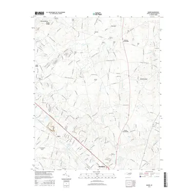 2016 Bakers2016 Print · USGSMonroe and Unionville are shown during a period of suburban growth in the mid-2010s, balancing modern aviation with historic rural roots. Genealogists can locate numerous burial sites like Benton Family Cem and High Hill Church Cem among the creeks.
 - 2016 Map of Stanfield, 2016 Print
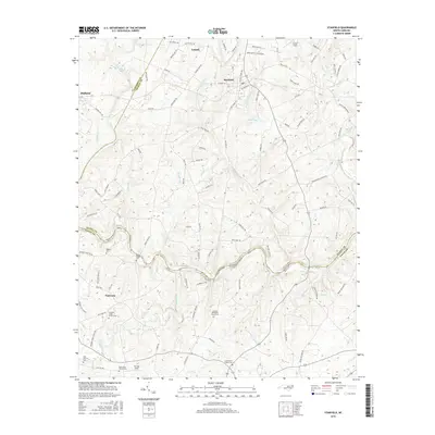 2016 Stanfield2016 Print · USGSStanly and Union Counties are captured here during a period of modern rural transition. Genealogists can locate numerous historic burial sites and rural congregations, from the Antioch Methodist Church Cem to the family plots at Austin Family Cem.
 - 2016 Map of Midland, 2016 Print
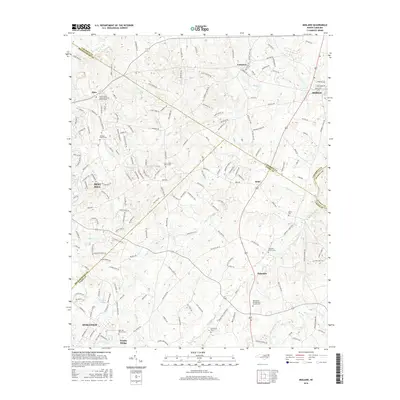 2016 Midland2016 Print · USGSThe crossroads of the Carolina Piedmont are captured here in the mid-2010s as suburban growth meets long-standing rural communities. Genealogists can trace numerous family-named landmarks and historic burial sites such as Bethlehem Presbyterian Church Cem and Hopewell Church Cem.
 - 2019 Map of Bakers, 2019 Print
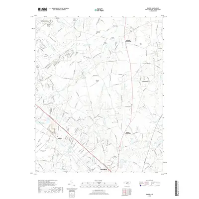 2019 Bakers2019 Print · USGSMonroe and the surrounding Union County countryside are shown in this contemporary study of North Carolina's Piedmont. Genealogists can locate numerous family-named landmarks and resting places, such as Bentons Crossroads, Scott Family Cem, and Fowler Crossroads.
 - 2019 Map of Stanfield, 2019 Print
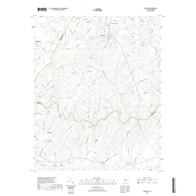 2019 Stanfield2019 Print · USGSThe rural borderlands of Stanly and Union Counties are captured here as the modern century unfolds, centered on the Rocky River and the small town of Stanfield. Genealogists can trace family heritage through numerous landmarks like the Austin Family Cem and the Antioch Methodist Church Cem.
 - 2019 Map of Midland, 2019 Print
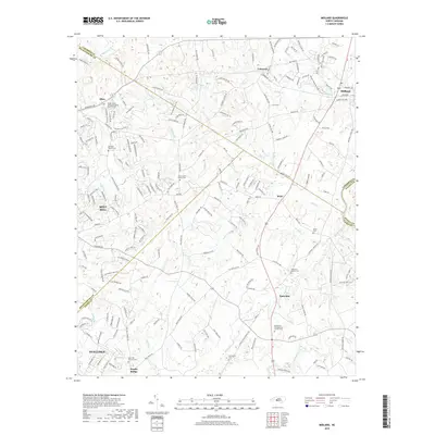 2019 Midland2019 Print · USGSAs the suburbs east of Charlotte expanded late in the decade, this area remained a patchwork of new subdivisions and old church crossroads. You can trace family roots at Hopewell Church Cem or explore the growing limits of Mint Hill and Stallings.
End of results
Showing maps 1-12 of 12
Top cities near Fairview
- Charlotte historical maps
- Concord historical maps
- Huntersville historical maps
- Monroe historical maps
- Matthews historical maps
- Mint Hill historical maps
See more
Top neighborhoods of Fairview
Frequently asked questions
- What are the different types of historical maps available for Fairview?
- What is the oldest map of Fairview?
- Where can I purchase historical maps of Fairview for my home or office?
- Where can I download high-res historical maps of Fairview?
- Are there historical topographic maps available for Fairview?
- Is there historical aerial imagery available for Fairview?
- Where are historical maps of Fairview sourced from?