Old Maps of Fairview, North Carolina for Academic Research
Study the evolution of Fairview with 28 high-resolution historic maps. Whether you're teaching, researching, or modeling changes in land use, these maps provide essential visual documentation of urban, environmental, and geographic change.
- Analyze long-term change: Track patterns in development, transportation, and natural features.
- Ideal for environmental or urban studies: Support academic projects with primary historical map data.
- Use in the classroom or lab: Educators and researchers rely on these maps to bring historical context to life.
These maps are a powerful tool for teaching, research, and visualizing how Fairview has changed over the decades.
Fairview, NC maps
(28)- 1941 Map of Charlotte
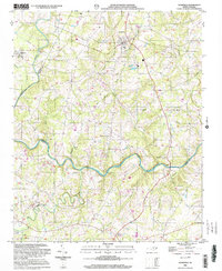
 1941 Charlotte1941 Print · USGSMecklenburg and its surrounding counties are captured here at a pivotal moment in the early 1940s. Genealogists and local historians can trace the rail-driven growth of Charlotte or locate smaller rural landmarks like Alexanders Store, Wesley Chapel, and the community at Stallings.
 - 1942 Map of Charlotte
 1942 Charlotte1942 Print · USGSCharlotte and its surrounding Piedmont communities are captured here during the early years of the Second World War. Researchers can trace the rail corridors of the Southern and Seaboard Air Line or locate family-named sites like Alexanders Store, Hoods Cross Road, and Wesley Chapel.2 unique versions available
 - 1949 Map of Midland
 1949 Midland1949 Print · USGSMidland and the surrounding Piedmont farm country are captured here in the late 1940s, just as rural electrification and improved roads were transforming the area. Local historians can trace old community hubs like the Midland Speedway, Emmanuel Cem, and the Rock Hill Sch.
 - 1953 Map of Charlotte, 1968 Print
 1953 Charlotte1968 Print · USGSThe North Carolina Piedmont and South Carolina borderlands are shown in detail during a period of significant growth and reservoir development. Trace the rail corridors of the Southern Railway or find family roots in towns like China Grove, Misenheimer, and Lincolnton.3 unique versions available
 - 1954 Map of Charlotte
 1954 Charlotte1954 Print · USGSThe North Carolina Piedmont in the mid-1950s shows a region of rapid growth and industrial expansion centered around Charlotte. Trace the era's infrastructure through the Southern railroad lines and locate significant landmarks like the Charlotte Naval Ammunition Depot and Lake Norman.2 unique versions available
 - 1960 Map of Charlotte
 1960 Charlotte1960 Print · USGSMid-century North Carolina and South Carolina meet in this 1960 survey of the Piedmont's industrial and textile heartland. Trace the growth of Charlotte alongside historic landmarks like Kings Mountain National Military Park and the Charlotte Naval Ammunition Depot.2 unique versions available
 - 1962 Map of Charlotte
 1962 Charlotte1962 Print · USGSThe North Carolina Piedmont in the early sixties showcases a landscape transformed by massive reservoirs and industrial growth. Researchers can trace the development of Lake Norman, locate the Charlotte Naval Ammunition Depot, or find family landmarks like Wesley Chapel and Brown & Norcott Mills.
 - 1971 Map of Bakers, 1973 Print
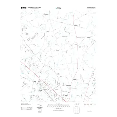
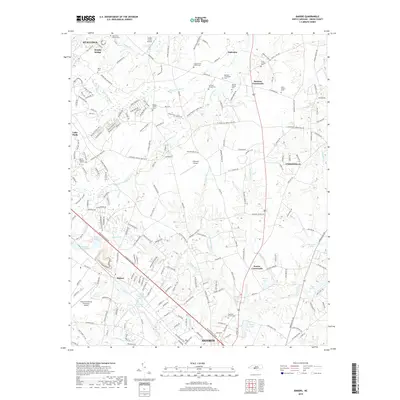
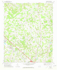 1971 Bakers1973 Print · USGSUnion County's rural crossroads and emerging suburbs are documented here in the early 1970s as the area around Monroe began to expand. Researchers can locate specific family landmarks including Union Grove Ch, the SEABOARD COAST LINE railway, and Bentons Crossroads.3 unique versions available
 - 1971 Map of Midland, 1973 Print
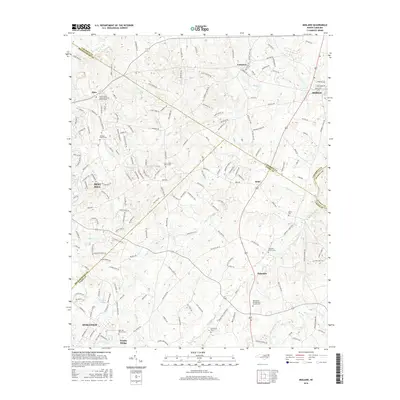
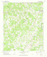 1971 Midland1973 Print · USGSMidland and the surrounding Piedmont countryside are captured in the early seventies as the region maintained its rural character. Genealogists can trace family landmarks at Mill Grove Ch Cem, Clear Creek Ch, and the crossroads at Brief.3 unique versions available
 - 1971 Map of Stanfield, 1973 Print
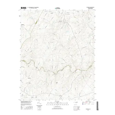
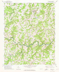 1971 Stanfield1973 Print · USGSThe rural Piedmont region of North Carolina comes into focus here in the early seventies, centered on the Rocky River borderlands. Genealogists and local historians can locate numerous country congregations including Philadelphia Ch, Antioch Ch, and Loves Chapel Ch.2 unique versions available
 - 1985 Map of Charlotte, 1986 Print
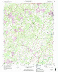
 1985 Charlotte1986 Print · USGSThe Piedmont region in the mid-eighties shows the rapid growth of the Charlotte metro area alongside established textile and college towns. Trace local heritage at the Reed Gold Mine or explore the rail corridors of the Southern Railway and Winston-Salem Southbound Railway.2 unique versions available
 - 1993 Map of Midland, 1996 Print
 1993 Midland1996 Print · USGSMidland and Mint Hill are shown here in the early nineties, a period where family-run farms and country churches still defined the borderlands of Cabarrus and Mecklenburg. Trace local history through landmarks like Union Cem, Mill Grove Ch, and the Bethel Sch.
 - 2002 Map of Stanfield, 2003 Print
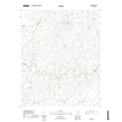
 2002 Stanfield2003 Print · USGSStanly and Cabarrus Counties are captured here at the start of the new millennium as the rural landscape around Midland and Stanfield began to transition. Genealogists can locate numerous community anchors like Philadelphia Ch, Indian Hill Ch, and the Kinza Memorial.
 - 2010 Map of Midland, 2010 Print
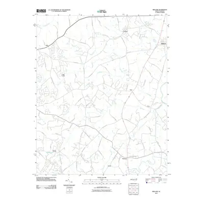 2010 Midland2010 Print · USGSCovers Fairview, including Mint Hill, Indian Trail, and other nearby areas
 - 2010 Map of Bakers, 2010 Print
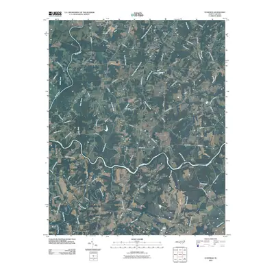
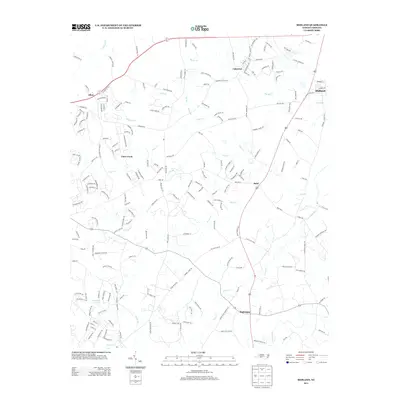
 2010 Bakers2010 Print · USGSCovers Fairview, including Monroe, Indian Trail, and other nearby areas
 - 2010 Map of Stanfield, 2010 Print
 2010 Stanfield2010 Print · USGSCovers Fairview, including Midland, Stanfield, and other nearby areas
 - 2013 Map of Bakers, 2013 Print
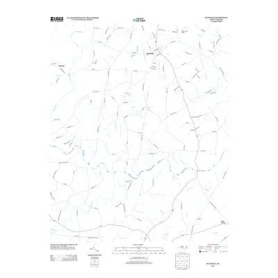
 2013 Bakers2013 Print · USGSCovers Fairview, including Monroe, Indian Trail, and other nearby areas
 - 2013 Map of Midland, 2013 Print
 2013 Midland2013 Print · USGSCovers Fairview, including Mint Hill, Indian Trail, and other nearby areas
 - 2013 Map of Stanfield, 2013 Print
 2013 Stanfield2013 Print · USGSCovers Fairview, including Midland, Stanfield, and other nearby areas
 - 2016 Map of Bakers, 2016 Print
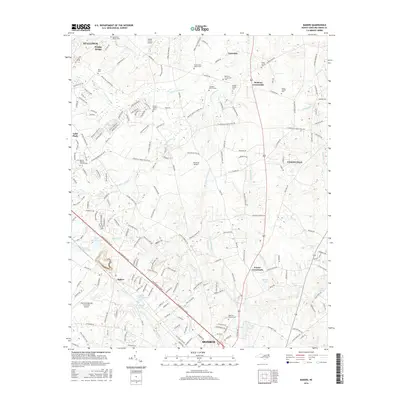 2016 Bakers2016 Print · USGSCovers Fairview, including Monroe, Indian Trail, and other nearby areas
 - 2016 Map of Stanfield, 2016 Print
 2016 Stanfield2016 Print · USGSCovers Fairview, including Midland, Stanfield, and other nearby areas
 - 2016 Map of Midland, 2016 Print
 2016 Midland2016 Print · USGSCovers Fairview, including Mint Hill, Indian Trail, and other nearby areas
 - 2019 Map of Bakers, 2019 Print
 2019 Bakers2019 Print · USGSCovers Fairview, including Monroe, Indian Trail, and other nearby areas
 - 2019 Map of Stanfield, 2019 Print
 2019 Stanfield2019 Print · USGSCovers Fairview, including Midland, Stanfield, and other nearby areas
 - 2019 Map of Midland, 2019 Print
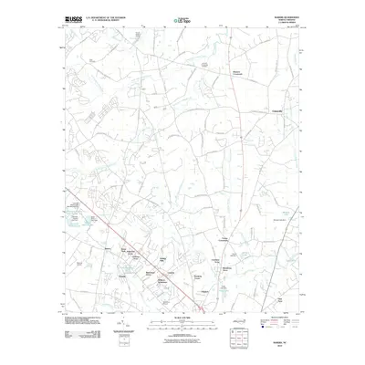
 2019 Midland2019 Print · USGSCovers Fairview, including Mint Hill, Indian Trail, and other nearby areas
Showing maps 1-25 of 28
Top cities near Fairview
- Charlotte historical maps
- Concord historical maps
- Huntersville historical maps
- Monroe historical maps
- Matthews historical maps
- Mint Hill historical maps
See more
Top neighborhoods of Fairview
Frequently asked questions
- What are the different types of historical maps available for Fairview?
- What is the oldest map of Fairview?
- Where can I purchase historical maps of Fairview for my home or office?
- Where can I download high-res historical maps of Fairview?
- Are there historical topographic maps available for Fairview?
- Is there historical aerial imagery available for Fairview?
- Where are historical maps of Fairview sourced from?