Old Maps of Hollemans Crossroads, North Carolina
Explore 11 old maps of Hollemans Crossroads, spanning from 1953 to today. These high-resolution historic maps reveal how streets, neighborhoods, landmarks, and natural features evolved over time — perfect for genealogy, metal detecting, research, and local history exploration.
What you can do with these maps:
- See how Hollemans Crossroads changed over time: Compare historical maps to modern-day views to trace roads, homesites, rail lines & more.
- View detailed metadata: Each map includes creators, publishers, year, scale, and archive source.
- Overlay maps with satellite & LiDAR: Visualize the past alongside modern tools to explore terrain & human change.
- Trusted historical sources: Maps sourced from the USGS, Library of Congress, and other archives.
- Access maps your way: View online, download high-res files, or order prints for personal or research use.
Start exploring old maps of Hollemans Crossroads to uncover forgotten places, hidden landmarks, and the deep history beneath your feet.
Hollemans Crossroads, NC maps
(11)- 1953 Map of Raleigh, 1965 Print
 1953 Raleigh1965 Print · USGSCentral North Carolina in the early sixties shows a landscape of growing towns and military hubs before the full expansion of the interstate system. Genealogists can trace family footprints across the Piedmont through Wake Forest, Siler City, and the large Fort Bragg Military Reservation.4 unique versions available
 - 1954 Map of Raleigh
 1954 Raleigh1954 Print · USGSThe North Carolina Piedmont and Sandhills are captured in the mid-fifties during a period of steady regional growth. Genealogists and historians can trace the development of towns like Siler City or locate landmarks such as Falls of Neuse and Camp Mackall.
 - 1974 Map of Cokesbury, 1977 Print
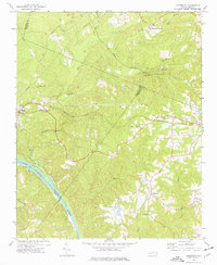 1974 Cokesbury1977 Print · USGSHarnett and Wake counties show a landscape of rural crossroads and river drainage during the mid-seventies. Trace the Norfolk Southern rail corridor or locate family landmarks like Prince Chapel and the Buckhorn Dam.4 unique versions available
 - 1984 Map of Raleigh, 1985 Print
 1984 Raleigh1985 Print · USGSThe North Carolina Research Triangle is shown during a decade of rapid growth, from the sprawl of Raleigh to the expanding waters of Falls Lake. Genealogists and historians can trace rail lines like the Seaboard Coast Line or locate landmark sites like Dorothea Dix State Hospital and Fuquay-Varina.
 - 1990 Map of Raleigh, 1991 Print
 1990 Raleigh1991 Print · USGSGreater Raleigh and the Research Triangle entered a period of significant suburban growth during the 1990s. Researchers can trace the development of towns like Fuquay-Varina and Wake Forest or locate landmarks such as the State Prison and Harris Reservoir.2 unique versions available
 - 1993 Map of Cokesbury, 1999 Print
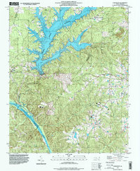 1993 Cokesbury1999 Print · USGSHarnett and Wake counties meet in this 1990s landscape, where the rising waters of a major reservoir reach into rural crossroads. Researchers can trace family sites near Hollemans Crossroads, Prince Chapel, and the historic Cokesbury Ch.
 - 2010 Map of Cokesbury, 2010 Print
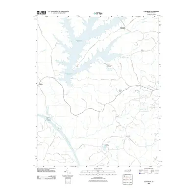 2010 Cokesbury2010 Print · USGSCokesbury and the surrounding rural crossroads were documented in 2010 just as the landscape of Wake and Harnett counties continued its modern evolution. Researchers can trace historic river access at Buckhorn Dam and locate ancestral locales near Hollemans Crossroads and Dennis Crossroads.
 - 2013 Map of Cokesbury, 2013 Print
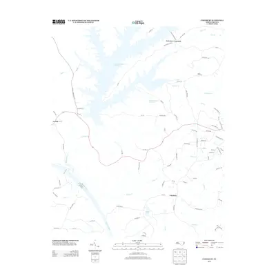 2013 Cokesbury2013 Print · USGSCoastal plain crossroads and the sprawling fingers of the reservoir define this area south of Raleigh during the early 2010s. Genealogists and local historians can trace family-named landmarks like Dennis Crossroads and Hollemans Crossroads or locate Dewars Pond along the banks of the Cape Fear River.
 - 2016 Map of Cokesbury, 2016 Print
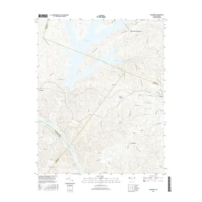 2016 Cokesbury2016 Print · USGSThe Piedmont region south of Raleigh comes into focus here just after the mid-2010s, showing a landscape defined by major waterways and rural crossroads. Genealogists and local historians can trace family-named routes and old settlements from Cokesbury to the banks of the Cape Fear River and Shearon Harris Reservoir.
 - 2019 Map of Cokesbury, 2019 Print
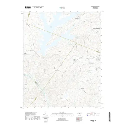 2019 Cokesbury2019 Print · USGSThe rolling hills of southern Wake and northern Harnett counties are mapped here in the late 2010s. Trace the rural landscape surrounding the Shearon Harris Reservoir and local settlements like Cokesbury, Duncan, and Hollemans Crossroads.
 - 2022 Map of Cokesbury, 2022 Print
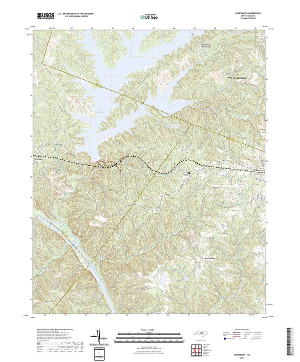 2022 Cokesbury2022 Print · USGSHarnett and Wake counties meet in this 2020s landscape defined by the convergence of four county lines and the waters of the Shearon Harris Reservoir. Trace ancestral roots and old road alignments through Hollemans Crossroads, Cokesbury, and along the historic Avent Ferry Rd.
End of results
Showing maps 1-11 of 11
Top cities near Hollemans Crossroads
- Raleigh historical maps
- Cary historical maps
- Apex historical maps
- Fuquay-Varina historical maps
- Sanford historical maps
- Garner historical maps
See more
Frequently asked questions
- What are the different types of historical maps available for Hollemans Crossroads?
- What is the oldest map of Hollemans Crossroads?
- Where can I purchase historical maps of Hollemans Crossroads for my home or office?
- Where can I download high-res historical maps of Hollemans Crossroads?
- Are there historical topographic maps available for Hollemans Crossroads?
- Is there historical aerial imagery available for Hollemans Crossroads?
- Where are historical maps of Hollemans Crossroads sourced from?