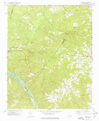
1974 Map of Cokesbury
USGS Topo · Published 1977About this map
The Cape Fear River defines the southwestern boundary of this landscape, where the Buckhorn Dam stands near the intersection of Chatham, Lee, and Harnett counties. In the mid-1970s, this region remained predominantly rural, characterized by small crossroads settlements and a network of country churches that served as community anchors. Hollemans Crossroads and Corinth mark important junctions in the northern reaches, while Cokesbury and Duncan serve as local hubs further south and east.
Find a feature on this map
31 named features on this map. Tap any name to fly to it.
Don’t see what you’re looking for? This feature index may not catch every label — zoom into the map to look around manually.
Map Details
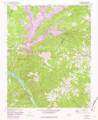
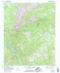
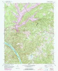
Editions of this 1974 Cokesbury Map
4 editions found
Other maps of this area

1953 · Raleigh
USGS Topo · 1:250,000

1954 · Raleigh
USGS Topo · 1:250,000

1969 · New Hope Dam
USGS Topo · 1:24,000

1970 · Moncure
USGS Topo · 1:24,000

1974 · Apex
USGS Topo · 1:24,000
1974 · Fuquay-Varina
USGS Topo · 1:24,000
1974 · New Hill
USGS Topo · 1:24,000

1974 · Mamers
USGS Topo · 1:24,000
1977 · Broadway
USGS Topo · 1:24,000
1978 · Lillington
USGS Topo · 1:24,000