
1974 Map of Apex
USGS Topo · Published 1977About this map
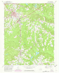
Apex serves as a major rail junction in southwestern Wake County, where the Durham and Southern and Seaboard Coast Line railroads intersect near Chatham St and Saunders St. To the south, the village of Holly Springs is centered around a tight cluster of local landmarks, including the Shelba Airport and several churches such as True Way Ch. The landscape is defined by the headwaters of Middle Creek, which feeds into both Bass Lake and Sunset Lake, and the winding course of Swift Creek to the northeast.
Find a feature on this map
50 named features on this map. Tap any name to fly to it.
Don’t see what you’re looking for? This feature index may not catch every label — zoom into the map to look around manually.
Map Details
Editions of this 1974 Apex Map
5 editions found
Other maps of this area

1943 · Durham South
USGS Topo · 1:62,500

1943 · Raleigh
USGS Topo · 1:62,500

1951 · Raleigh
USGS Topo · 1:62,500

1951 · Durham South
USGS Topo · 1:62,500

1953 · Raleigh
USGS Topo · 1:250,000

1954 · Raleigh
USGS Topo · 1:250,000

1964 · Lake Wheeler
USGS Topo · 1:24,000

1964 · Angier
USGS Topo · 1:24,000

1964 · Garner
USGS Topo · 1:62,500

1968 · Raleigh West
USGS Topo · 1:24,000