
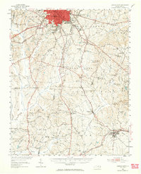
1951 Map of Durham South
USGS Topo · Published 1953About this map
The urban fringe south of Durham is depicted here during a period of significant regional transformation, particularly with the infrastructure for the Raleigh-Durham Airport and the expansion of the Jefferson Davis Highway. The landscape is a network of small agricultural and railroad communities, including Morrisville, Nelson, and Carpenter. This era shows the local social structure through numerous community-focused institutions such as Hope Valley High Sch, Massey Chapel, and O'Kellys Ch.
Find a feature on this map
83 named features on this map. Tap any name to fly to it.
Don’t see what you’re looking for? This feature index may not catch every label — zoom into the map to look around manually.
Map Details
Editions of this 1951 Durham South Map
Other maps of this area

1943 · Durham South
USGS Topo · 1:62,500

1943 · Raleigh
USGS Topo · 1:62,500

1943 · Creedmoor
USGS Topo · 1:62,500

1944 · Creedmoor
USGS Topo · 1:62,500

1946 · Chapel Hill
USGS Topo · 1:24,000

1947 · Chapel Hill
USGS Topo · 1:31,680

1951 · Raleigh
USGS Topo · 1:62,500

1951 · Farrington
USGS Topo · 1:24,000

1951 · Durham North
USGS Topo · 1:62,500

1953 · Raleigh
USGS Topo · 1:250,000