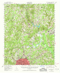
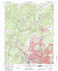
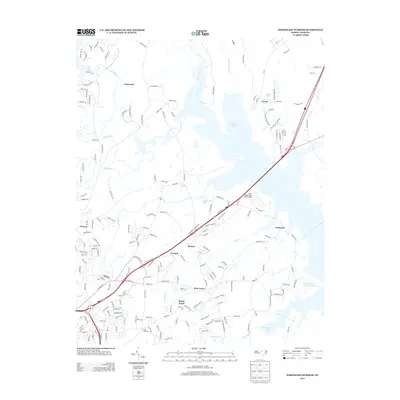
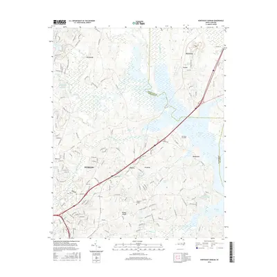
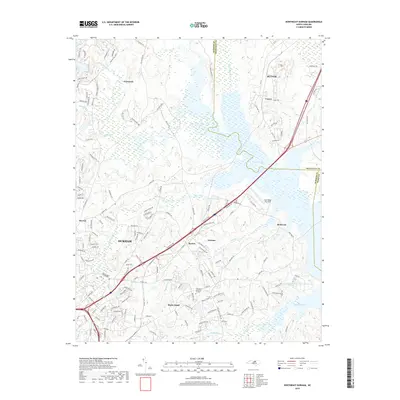
1951 Map of Durham South
USGS Topo · Published 1964About this map
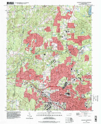
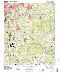
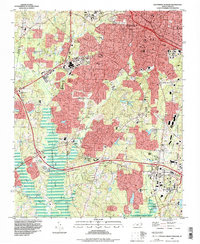
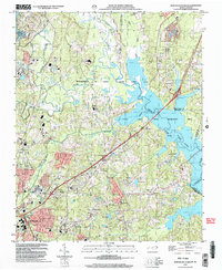
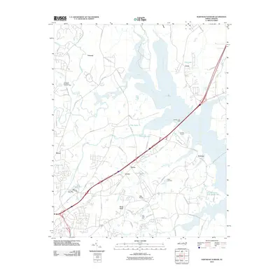
Durham serves as the northern anchor of this survey, which captures the burgeoning Research Triangle area during the early 1950s. The landscape is a mix of academic influence and rural crossroads, with Duke Univ and Hope Valley Country Club positioned just south of the city center. To the southeast, the Raleigh-Durham Airport appears in a much earlier configuration, complete with a visible Control Tower. Small agricultural and railroad communities like Morrisville, Cary, and Genlee are linked by the Southern and Seaboard rail lines, which cut through the drainage basins of Crabtree Creek and New Hope Creek. Rural life is anchored by numerous local landmarks such as Massey Chapel, Holland Chapel, and Green Hope Sch. The map also illustrates the early footprint of Reedy Creek State Park, highlighting the preservation of wooded terrain amidst the steady southern expansion of Durham into Wake Co and Chatham Co.
Find a feature on this map
90 named features on this map. Tap any name to fly to it.
Don’t see what you’re looking for? This feature index may not catch every label — zoom into the map to look around manually.
Map Details
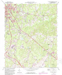
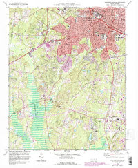
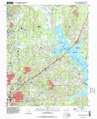
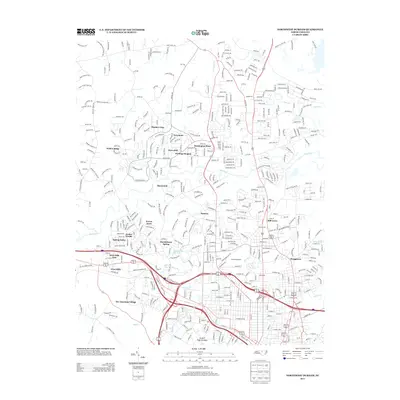
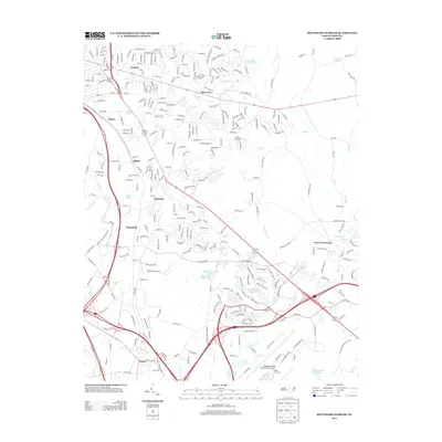
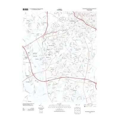
Editions of this 1951 Durham South Map

Historical Maps of Raleigh Through Time
32 maps found

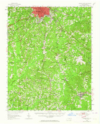
1943 Durham South
Durham County, NC
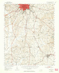
1951 Durham North
Durham County, NC
1951 Durham South
Durham County, NC
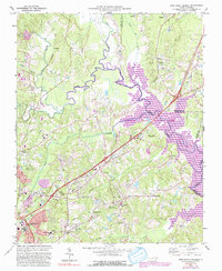
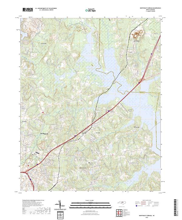
1973 Northeast Durham
Durham County, NC
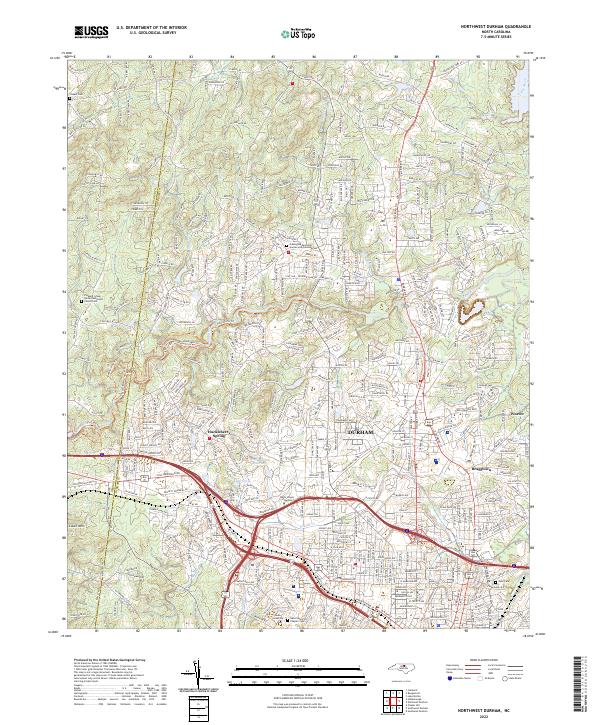
1973 Northwest Durham
Durham County, NC
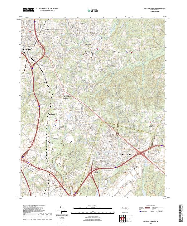
1973 Southeast Durham
Durham County, NC
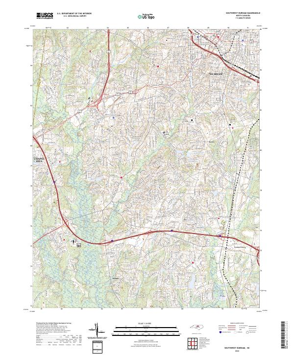
1973 Southwest Durham
Durham County, NC
1993 Northeast Durham
Durham County, NC
1993 Northwest Durham
Durham County, NC
1993 Southeast Durham
Durham County, NC
1993 Southwest Durham
Durham County, NC
1999 Northeast Durham
Durham County, NC
2010 Northeast Durham
Durham County, NC
2010 Northwest Durham
Durham County, NC
2010 Southeast Durham
Durham County, NC
2010 Southwest Durham
Durham County, NC
2013 Northeast Durham
Durham County, NC
2013 Northwest Durham
Durham County, NC
2013 Southeast Durham
Durham County, NC
2013 Southwest Durham
Durham County, NC
2016 Northeast Durham
Durham County, NC
2016 Northwest Durham
Durham County, NC
2016 Southeast Durham
Durham County, NC
2016 Southwest Durham
Durham County, NC
2019 Northeast Durham
Durham County, NC
2019 Northwest Durham
Durham County, NC
2019 Southeast Durham
Durham County, NC
2019 Southwest Durham
Durham County, NC
2022 Northeast Durham
Durham County, NC
2022 Northwest Durham
Durham County, NC
2022 Southeast Durham
Durham County, NC
2022 Southwest Durham
Durham County, NC