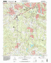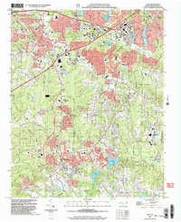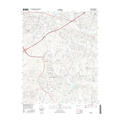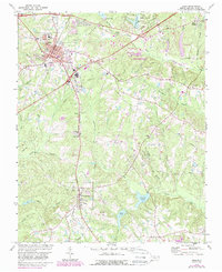
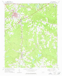
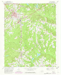
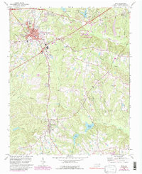
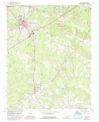
1974 Map of Apex
USGS Topo · Published 1987About this map
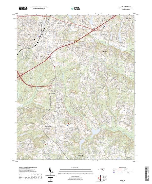
The town of Apex centers this survey as it experienced significant suburban expansion in the mid-1980s, marked by residential development Under Construction and the emergence of Regency Park Lake. These modern additions contrast with the area's rural foundations, evidenced by the Old Railroad Grade running south toward Feltonville. The landscape is defined by the headwaters of Swift Creek and Middle Creek, where numerous family and community landmarks remain visible. Local history is anchored by sites like St Marys Ch, Matthew Chapel, and the Baucom Sch. To the south, Holly Springs appears at a quieter stage of its development, while the southern edge of Cary pushes into the northern frame. Large protected areas like the Hemlock Bluffs State Natural Area and several small impoundments like Sunset Lake and Bass Lake break up the undulating terrain of the Piedmont.
Find a feature on this map
44 named features on this map. Tap any name to fly to it.
Don’t see what you’re looking for? This feature index may not catch every label — zoom into the map to look around manually.
Map Details
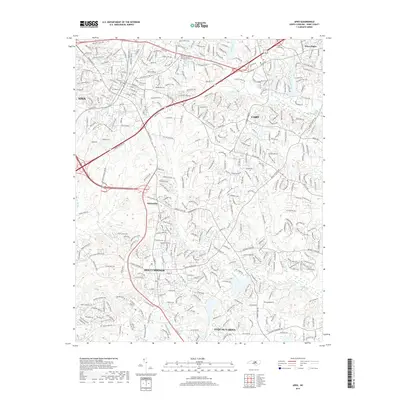
Editions of this 1974 Apex Map
5 editions found
Historical Maps of Cary Through Time
8 maps found