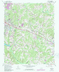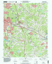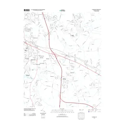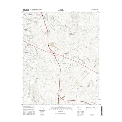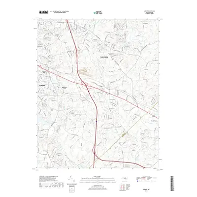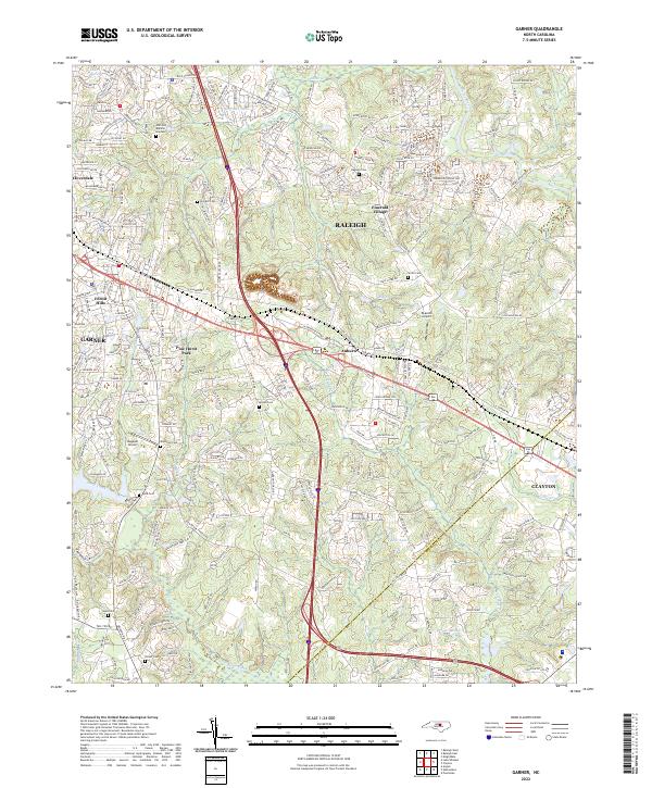
1964 Map of Garner
USGS Topo · Published 1965About this map
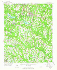
Garner and its surrounding rural townships in Wake and Harnett counties reflect a landscape in transition during the mid-1960s. The expansion of residential communities like Greenbrier Estates and Echo Heights contrasts with the established agrarian character of the south, where crossroads such as McCullers and Willow Springs anchor the local geography. Water resources are central to the region's development, from the industrial utility of Lake Benson and Lake Wheeler to the historic Yates Millpond and the distant McGee Mill on Middle Creek.
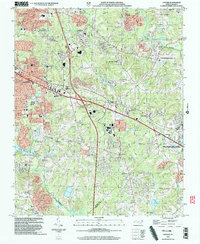
Find a feature on this map
95 named features on this map. Tap any name to fly to it.
Don’t see what you’re looking for? This feature index may not catch every label — zoom into the map to look around manually.
Map Details
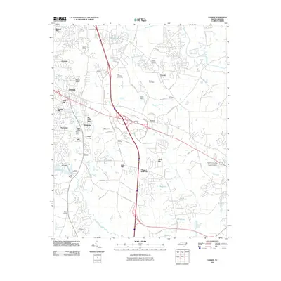
Editions of this 1964 Garner Map
This is the sole edition of this map. No revisions or reprints were ever made.
Historical Maps of Raleigh Through Time
9 maps found