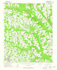
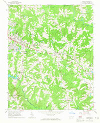
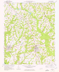
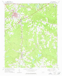
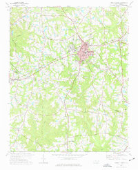
1964 Map of Angier
USGS Topo · Published 1965About this map
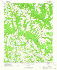
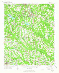
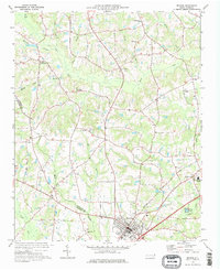
Angier anchors the southern portion of this landscape where the boundaries of Wake, Johnston, and Harnett counties converge. The town's grid is defined by the Durham and Southern railroad, while the Norfolk Southern line tracks north toward Willow Springs. This mid-century survey reveals a rural society structured around crossroads and community congregations, with numerous small burial grounds and churches such as St Ann Ch, White Memorial Ch, and Fellowship Ch dotting the countryside. The terrain is a network of creek drainages, including Middle Creek, Black Creek, and Panther Branch, which feed into the larger Black River basin. Agricultural clearings are interspersed with wooded tracts, illustrating the persistent tobacco-country farm patterns of the 1960s. Rural centers like Kennebec and Ogburn Crossroads serve as focal points for the surrounding farmsteads, many of which are linked by winding roads that follow the high ground between the meandering streams and local landmarks like Panther Lake.
Find a feature on this map
34 named features on this map. Tap any name to fly to it.
Don’t see what you’re looking for? This feature index may not catch every label — zoom into the map to look around manually.
Map Details
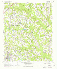
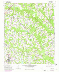
Editions of this 1964 Angier Map
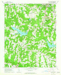
Other maps of this area

1953 · Raleigh
USGS Topo · 1:250,000

1954 · Raleigh
USGS Topo · 1:250,000
1964 · Lake Wheeler
USGS Topo · 1:24,000
1964 · Garner
USGS Topo · 1:24,000
1964 · Edmondson
USGS Topo · 1:24,000
1964 · Garner
USGS Topo · 1:62,500
1973 · Benson
USGS Topo · 1:24,000
1973 · Coats
USGS Topo · 1:24,000
1974 · Apex
USGS Topo · 1:24,000
1974 · Fuquay-Varina
USGS Topo · 1:24,000