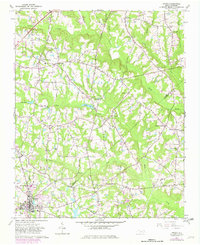
1964 Map of Angier
USGS Topo · Published 1982About this map
Angier serves as the primary hub at the southern edge of this mid-century landscape, where the Norfolk Southern railway facilitates the region's agricultural transport. The terrain is defined by a dense network of tributaries including Middle Creek, Black Creek, and Terrible Creek, which carve through the intersection of Wake, Johnston, and Harnett counties. This survey captures a moment of transition in rural North Carolina, as traditional settlements like Willow Springs and Kennebec coexist with newer developments such as the Triple W Air Park and a prominent Trailer Park.
Find a feature on this map
33 named features on this map. Tap any name to fly to it.
Don’t see what you’re looking for? This feature index may not catch every label — zoom into the map to look around manually.
Map Details
Editions of this 1964 Angier Map
Other maps of this area

1953 · Raleigh
USGS Topo · 1:250,000

1954 · Raleigh
USGS Topo · 1:250,000

1964 · Lake Wheeler
USGS Topo · 1:24,000

1964 · Garner
USGS Topo · 1:24,000

1964 · Angier
USGS Topo · 1:24,000

1964 · Edmondson
USGS Topo · 1:24,000

1964 · Garner
USGS Topo · 1:62,500

1973 · Benson
USGS Topo · 1:24,000

1973 · Coats
USGS Topo · 1:24,000

1974 · Apex
USGS Topo · 1:24,000