
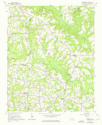
1964 Map of Edmondson
USGS Topo · Published 1965About this map
McGee Crossroads and the surrounding Johnston County landscape reveal a mid-century rural network defined by family-named landmarks and country crossroads. The terrain is divided by a series of south-flowing watercourses, including Middle Creek and Swift Creek, which historically dictated the placement of early mills and settlements. The community at Edmondson and the curiosly named Drug Store serve as focal points for a region deeply rooted in agricultural heritage, evidenced by the high density of small family plots and community graveyards like Penny Cem and Walton Cem.
Find a feature on this map
58 named features on this map. Tap any name to fly to it.
Don’t see what you’re looking for? This feature index may not catch every label — zoom into the map to look around manually.
Map Details
Editions of this 1964 Edmondson Map
Other maps of this area

1906 · Four Oaks
USGS Topo · 1:48,000

1908 · Four Oaks
USGS Topo · 1:62,500

1953 · Raleigh
USGS Topo · 1:250,000

1954 · Raleigh
USGS Topo · 1:250,000

1964 · Lake Wheeler
USGS Topo · 1:24,000

1964 · Garner
USGS Topo · 1:24,000

1964 · Selma
USGS Topo · 1:62,500

1964 · Angier
USGS Topo · 1:24,000

1964 · Clayton
USGS Topo · 1:24,000

1964 · Garner
USGS Topo · 1:62,500