
1964 Map of Clayton
USGS Topo · Published 1965About this map
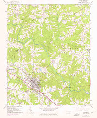
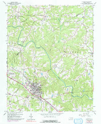
Clayton serves as the primary hub of this mid-1960s survey, centered on the Southern railway line and the Neuse River corridor. The town's layout reveals a concentrated residential core surrounding the High Sch and Hocutt Memorial Ch, with the Maplewood Cem marking the southern boundary. Significant state-managed land use is evident in the west, where the State Forestry Dept Nursery and the State Agricultural Experimental Station occupy large tracts between Little Creek and the river. Numerous small family and community cemeteries, such as Doub Cem and Hinton Cem, are scattered across the rural townships of St Matthews and Wilders, reflecting the area's agricultural heritage. Further north, the crossroads at Shotwell and Archers Lodge maintain their local identity through landmarks like Good Hope Ch and White Oak Ch.
Find a feature on this map
47 named features on this map. Tap any name to fly to it.
Don’t see what you’re looking for? This feature index may not catch every label — zoom into the map to look around manually.
Map Details
Editions of this 1964 Clayton Map
3 editions found
Other maps of this area

1943 · Raleigh
USGS Topo · 1:62,500

1951 · Raleigh
USGS Topo · 1:62,500

1953 · Raleigh
USGS Topo · 1:250,000

1954 · Raleigh
USGS Topo · 1:250,000

1964 · Garner
USGS Topo · 1:24,000

1964 · Flowers
USGS Topo · 1:24,000

1964 · Selma
USGS Topo · 1:62,500

1964 · Edmondson
USGS Topo · 1:24,000

1964 · Garner
USGS Topo · 1:62,500

1964 · Powhatan
USGS Topo · 1:24,000