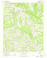
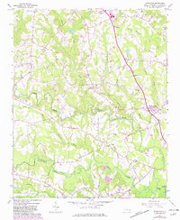
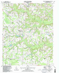
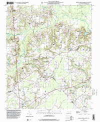
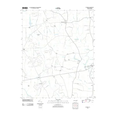
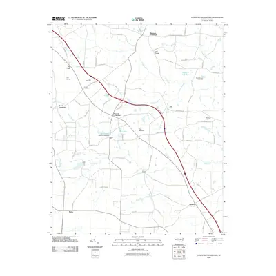
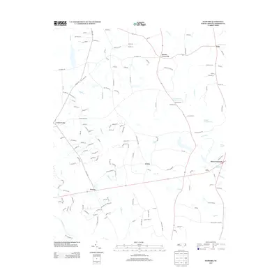
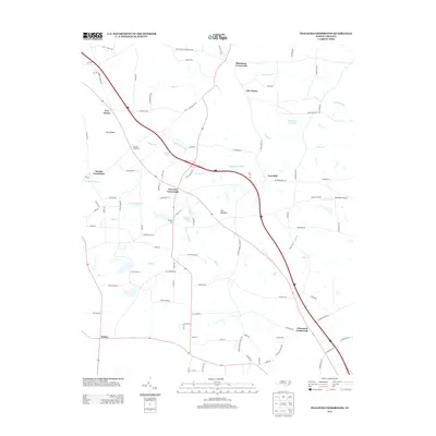
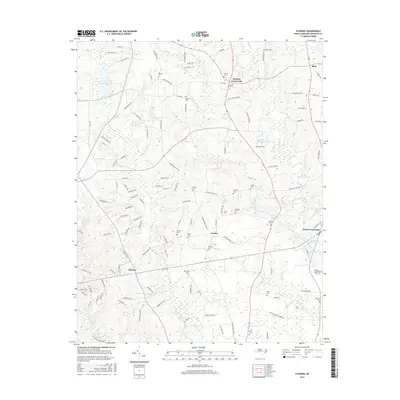
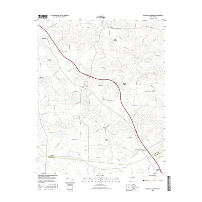
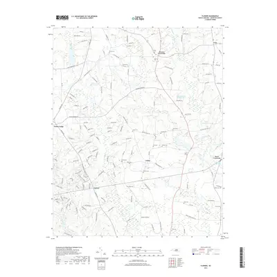
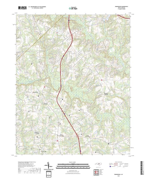
1964 Map of Edmondson
USGS Topo · Published 1975About this map
Swift Creek and Middle Creek wind through the borderlands of Wake and Johnston Counties, defining a rural landscape of crossroads communities and family homesteads. This mid-century survey documents the transition of the region as highway networks expanded, yet the area remained anchored by traditional landmarks like McGee Mill and the Cleveland Sch. Settlement patterns are revealed through numerous small hubs such as Edmondson, Willow Springs, and the aptly named Drug Store.
Find a feature on this map
62 named features on this map. Tap any name to fly to it.
Don’t see what you’re looking for? This feature index may not catch every label — zoom into the map to look around manually.
Map Details
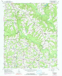
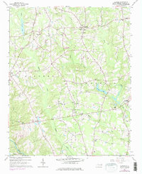
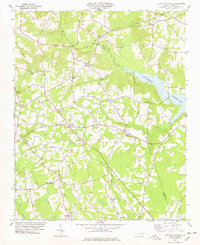
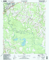
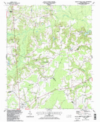
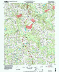
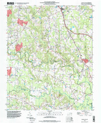
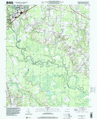
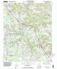
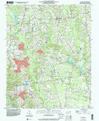
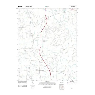
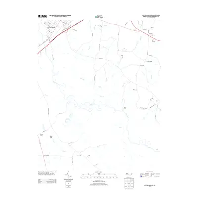
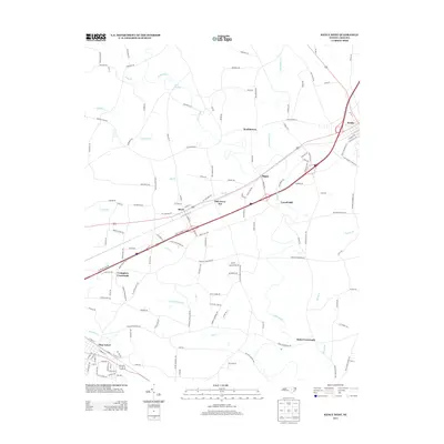
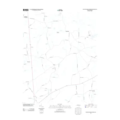
Editions of this 1964 Edmondson Map
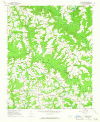
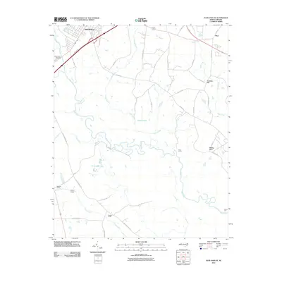
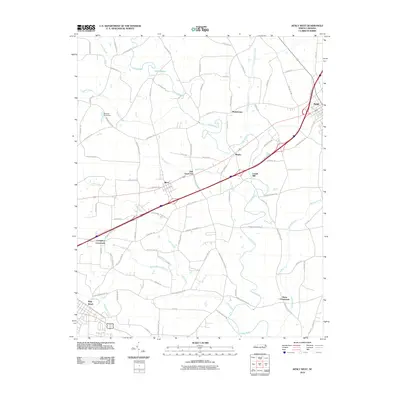
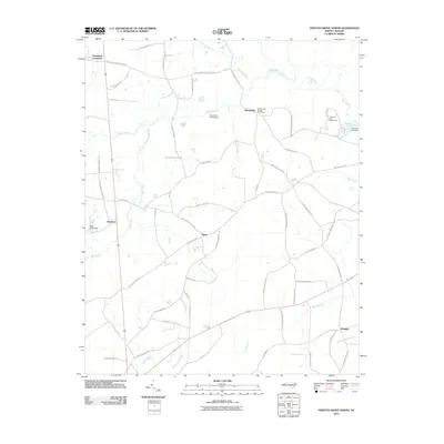
Historical Maps of Clayton Through Time
54 maps found
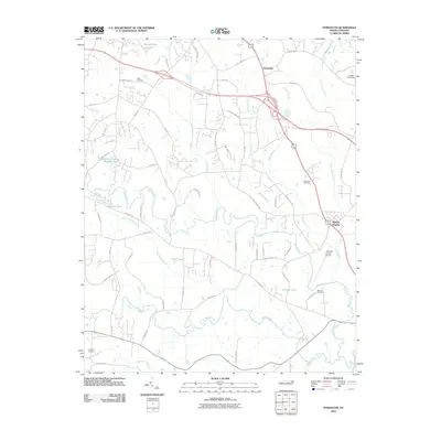
1964 Edmondson
Johnston County, NC
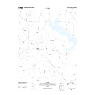
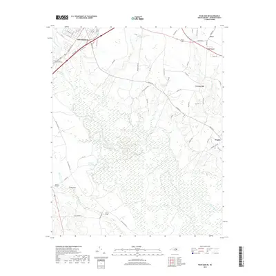
1964 Flowers
Johnston County, NC
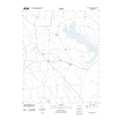
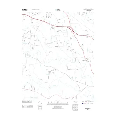
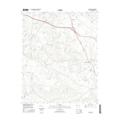
1964 Powhatan
Johnston County, NC

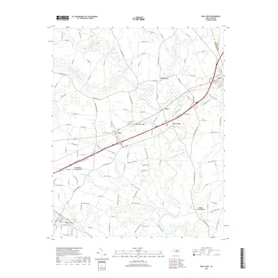
1978 Kenly West
Johnston County, NC
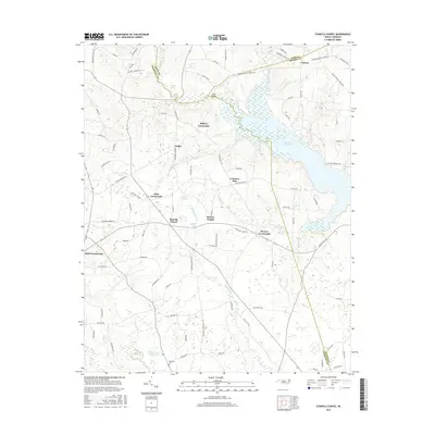
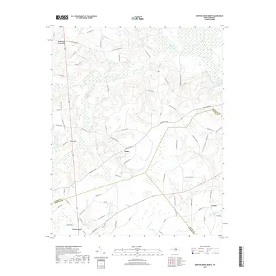
1978 Stancils Chapel
Johnston County, NC
1986 Four Oaks NE
Johnston County, NC
1986 Newton Grove North
Johnston County, NC
1986 Peacocks Crossroads
Johnston County, NC
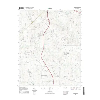
1993 Edmondson
Johnston County, NC
1993 Powhatan
Johnston County, NC
1997 Four Oaks NE
Johnston County, NC
1997 Newton Grove North
Johnston County, NC
1997 Peacocks Crossroads
Johnston County, NC
1998 Flowers
Johnston County, NC
2010 Edmondson
Johnston County, NC
2010 Flowers
Johnston County, NC
2010 Four Oaks NE
Johnston County, NC
2010 Kenly West
Johnston County, NC
2010 Newton Grove North
Johnston County, NC
2010 Peacocks Crossroads
Johnston County, NC
2010 Powhatan
Johnston County, NC
2010 Stancils Chapel
Johnston County, NC
2013 Edmondson
Johnston County, NC
2013 Flowers
Johnston County, NC
2013 Four Oaks NE
Johnston County, NC
2013 Kenly West
Johnston County, NC
2013 Newton Grove North
Johnston County, NC
2013 Peacocks Crossroads
Johnston County, NC
2013 Powhatan
Johnston County, NC
2013 Stancils Chapel
Johnston County, NC
2016 Edmondson
Johnston County, NC
2016 Flowers
Johnston County, NC
2016 Four Oaks NE
Johnston County, NC
2016 Kenly West
Johnston County, NC
2016 Newton Grove North
Johnston County, NC
2016 Peacocks Crossroads
Johnston County, NC
2016 Powhatan
Johnston County, NC
2016 Stancils Chapel
Johnston County, NC
2019 Edmondson
Johnston County, NC
2019 Flowers
Johnston County, NC
2019 Four Oaks NE
Johnston County, NC
2019 Kenly West
Johnston County, NC
2019 Newton Grove North
Johnston County, NC
2019 Peacocks Crossroads
Johnston County, NC
2019 Powhatan
Johnston County, NC
2019 Stancils Chapel
Johnston County, NC
2022 Edmondson
Johnston County, NC
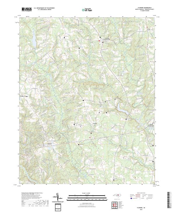
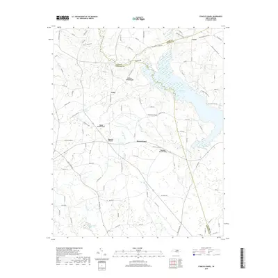
2022 Flowers
Johnston County, NC
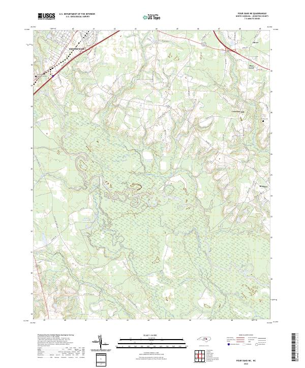
2022 Four Oaks NE
Johnston County, NC
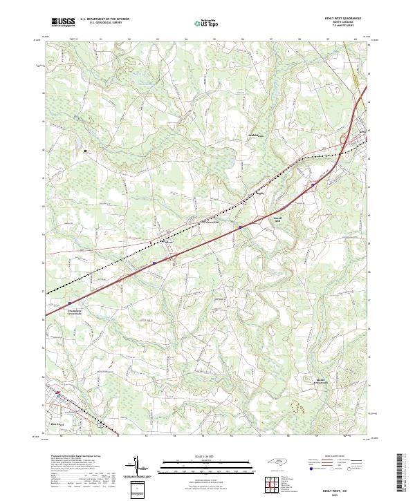
2022 Kenly West
Johnston County, NC
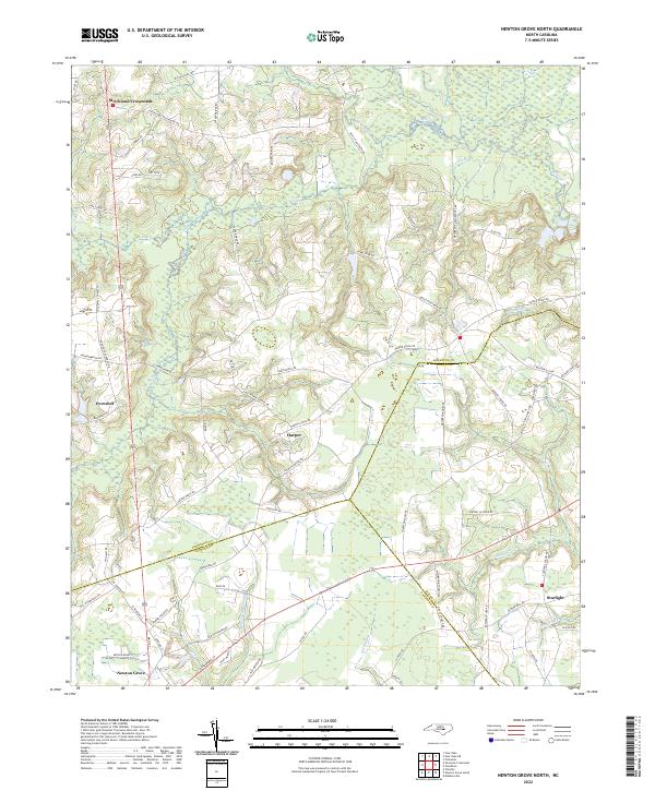
2022 Newton Grove North
Johnston County, NC
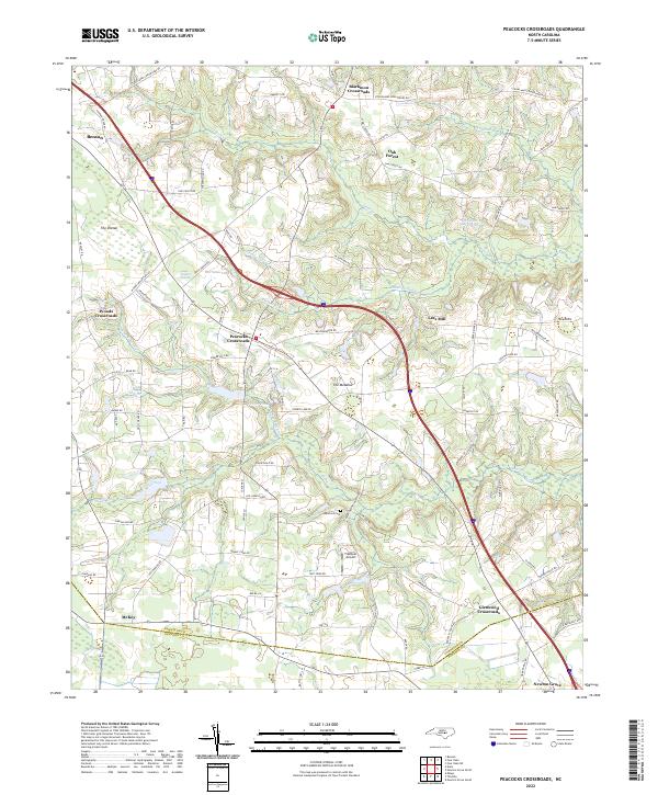
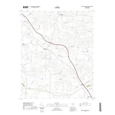
2022 Peacocks Crossroads
Johnston County, NC
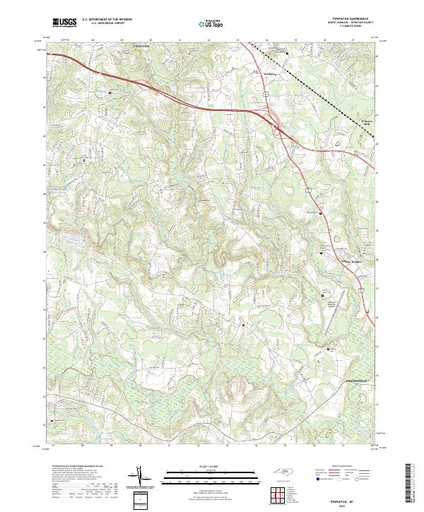
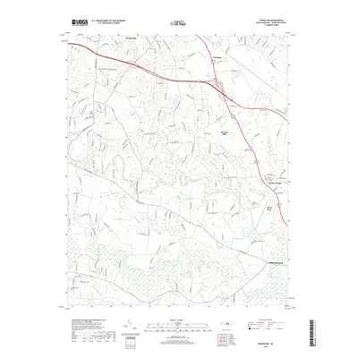
2022 Powhatan
Johnston County, NC
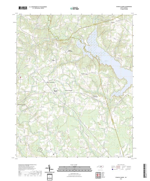
2022 Stancils Chapel
Johnston County, NC