
1973 Map of Coats
USGS Topo · Published 1975About this map
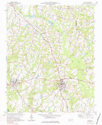
The campus of Campbell College anchors the western portion of this Harnett County landscape, situated just north of Buies Creek. This 1970s survey captures a rural North Carolina terrain defined by small crossroad settlements and an extensive network of country churches including Bethel Ch, Pleasant Plains Ch, and Mt Pisgah. The regional economy and transport are dictated by the Durham and Southern railroad, which cuts northwest through Barclaysville toward Angier.
Find a feature on this map
44 named features on this map. Tap any name to fly to it.
Don’t see what you’re looking for? This feature index may not catch every label — zoom into the map to look around manually.
Map Details
Editions of this 1973 Coats Map
3 editions found
Other maps of this area

1953 · Raleigh
USGS Topo · 1:250,000

1954 · Raleigh
USGS Topo · 1:250,000

1956 · Bunnlevel
USGS Topo · 1:24,000

1964 · Angier
USGS Topo · 1:24,000

1964 · Edmondson
USGS Topo · 1:24,000

1964 · Garner
USGS Topo · 1:62,500

1973 · Benson
USGS Topo · 1:24,000

1973 · Dunn
USGS Topo · 1:24,000

1973 · Erwin
USGS Topo · 1:24,000
1974 · Fuquay-Varina
USGS Topo · 1:24,000