2000s (21st Century) Maps of New Hill, North Carolina
Explore 6 historic maps of New Hill from the 2000s (21st Century). These maps offer a rare glimpse into what life looked like during the 2000s — showing old roads, neighborhoods, homes, and landmarks that have changed or disappeared over time.
Whether you're researching your family's past, planning a metal detecting trip, or studying how New Hill's landscape evolved across the 2000s, these high-resolution maps are a powerful tool for exploring the history of this region.
- Focus on a specific era: All maps on this page are from the 2000s, giving you a focused view of this time period.
- See what’s changed: Compare century-old streets, trails, and buildings to today's modern landscape using overlays and satellite layers.
- Research with precision: Use these maps for genealogy, historical research, land use analysis, or educational projects.
- View, download, or print: Maps are fully viewable online in high resolution, and can be downloaded or printed for your own records.
Start exploring New Hill's history through authentic maps from the 2000s. This is your window into the past.
New Hill, NC maps
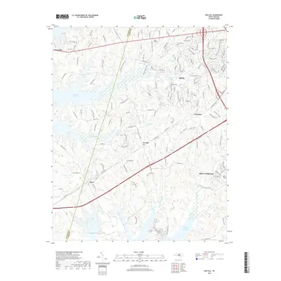
(6)- 2002 Map of New Hill, 2004 Print
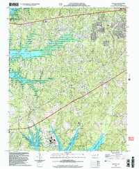 2002 New Hill2004 Print · USGSThe borderlands of Wake and Chatham counties come into focus at the start of the 2000s, showing a region shaped by utility reservoirs and growing small towns. Researchers can trace the legacy of community hubs like New Hill and Bonsal alongside early landmarks such as Olive Chapel Sch and the Power Plant.
 - 2010 Map of New Hill, 2010 Print
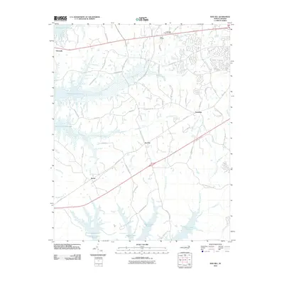 2010 New Hill2010 Print · USGSCovers New Hill, including Apex, Holly Springs, and other nearby areas
 - 2013 Map of New Hill, 2013 Print
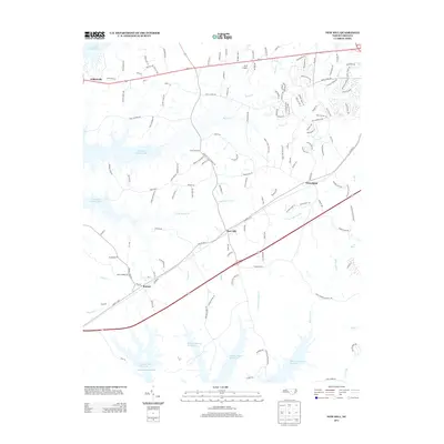 2013 New Hill2013 Print · USGSCovers New Hill, including Apex, Holly Springs, and other nearby areas
 - 2016 Map of New Hill, 2016 Print
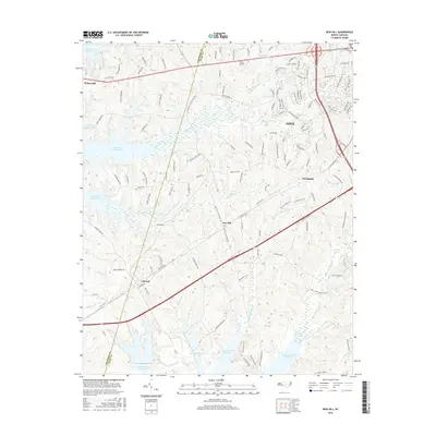 2016 New Hill2016 Print · USGSCovers New Hill, including Apex, Holly Springs, and other nearby areas
 - 2019 Map of New Hill, 2019 Print
 2019 New Hill2019 Print · USGSCovers New Hill, including Apex, Holly Springs, and other nearby areas
 - 2022 Map of New Hill, 2022 Print
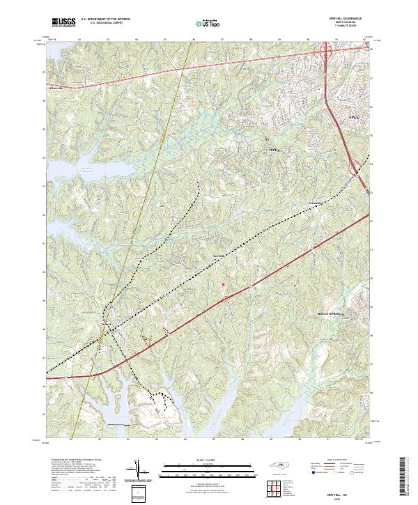 2022 New Hill2022 Print · USGSWake County's southwestern landscapes are shown here in the contemporary era as growing communities meet the shores of the reservoir. Researchers can trace the development of New Hill and Bonsal or locate landmarks like Deck Airpark and B Everett Jordan Lake.
End of results
Showing maps 1-6 of 6
Top cities near New Hill
- Raleigh historical maps
- Durham historical maps
- Cary historical maps
- Chapel Hill historical maps
- Apex historical maps
- Fuquay-Varina historical maps
See more
Frequently asked questions
- What are the different types of historical maps available for New Hill?
- What is the oldest map of New Hill?
- Where can I purchase historical maps of New Hill for my home or office?
- Where can I download high-res historical maps of New Hill?
- Are there historical topographic maps available for New Hill?
- Is there historical aerial imagery available for New Hill?
- Where are historical maps of New Hill sourced from?