Old Maps of Goldsboro, North Carolina for Hiking & Exploration
Hike through history with 35 historic maps of Goldsboro. Explore old trails, ghost towns, and forgotten backroads — perfect for outdoor adventurers and local explorers.
- Rediscover forgotten places: Map out old mining camps, roads, and footpaths that no longer exist on modern maps.
- Layer with modern tools: Combine with LiDAR or satellite views to plan hikes through historical terrain.
- Made for exploration: Popular among hikers, overlanders, and local history lovers.
Use these maps to find adventure and explore the hidden past of Goldsboro.
Goldsboro, NC maps
(35)- 1953 Map of Rocky Mount, 1964 Print
 1953 Rocky Mount1964 Print · USGSEastern North Carolina in the mid-fifties is defined by its deep river basins and the vast wetlands of the Tidewater. Genealogists can trace family roots through hubs like Kinston and New Bern or explore the wilderness of Pettigrew State Park and Lake Mattamuskeet.4 unique versions available
 - 1953 Map of Raleigh, 1965 Print
 1953 Raleigh1965 Print · USGSCentral North Carolina in the early sixties shows a landscape of growing towns and military hubs before the full expansion of the interstate system. Genealogists can trace family footprints across the Piedmont through Wake Forest, Siler City, and the large Fort Bragg Military Reservation.4 unique versions available
 - 1954 Map of Rocky Mount
 1954 Rocky Mount1954 Print · USGSEastern North Carolina is mapped in the mid-fifties, showing a landscape of sounds, swamps, and steam-era rail lines. Genealogists can trace the rural road networks and rail spurs connecting towns like Tarboro, Greenville, and the remote Columbia.
 - 1954 Map of Raleigh
 1954 Raleigh1954 Print · USGSThe North Carolina Piedmont and Sandhills are captured in the mid-fifties during a period of steady regional growth. Genealogists and historians can trace the development of towns like Siler City or locate landmarks such as Falls of Neuse and Camp Mackall.
 - 1957 Map of Goldsboro, 1958 Print
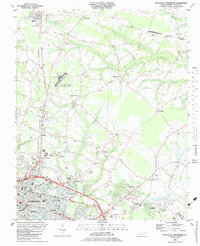
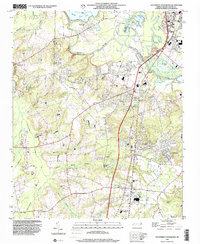
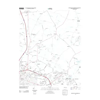
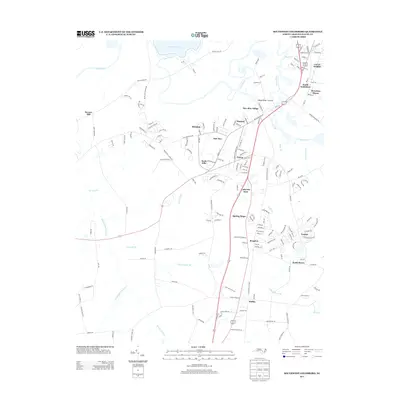
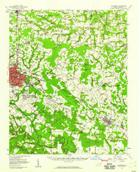 1957 Goldsboro1958 Print · USGSGoldsboro and the surrounding tobacco and timber lands are captured here in the mid-fifties as the local rail network and military presence shaped Wayne County. Genealogists can locate family landmarks like Old Smoky Cem, Garris Chapel, and Mays Store across the rural landscape.2 unique versions available
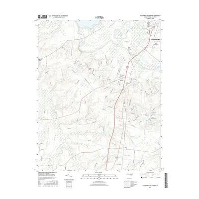
 - 1974 Map of Northwest Goldsboro, 1976 Print
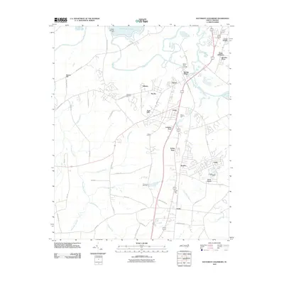
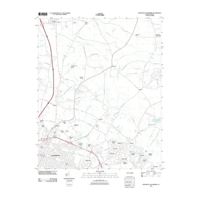
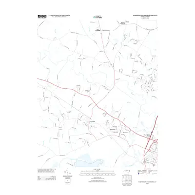
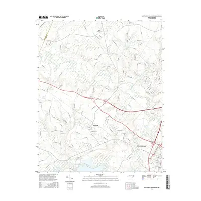
 1974 Northwest Goldsboro1976 Print · USGSWayne County just west of Goldsboro in the mid-1970s reveals a landscape of expanding institutional campuses and rural crossroads. Local historians can trace the grounds of CHERRY HOSPITAL, the community at Rosewood, and family landmarks like Spring Hill Ch.2 unique versions available
 - 1974 Map of Southwest Goldsboro, 1976 Print
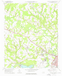
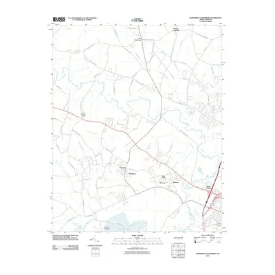
 1974 Southwest Goldsboro1976 Print · USGSWayne County in the mid-seventies is a landscape of river-bottom swamps and growing rural towns along the rail lines. Genealogists can trace family landmarks and congregations from Dudley up to Genoa, including St Matthews Ch, Augusta Ch, and the Wayne Mem Park.2 unique versions available
 - 1982 Map of Southeast Goldsboro, 1983 Print
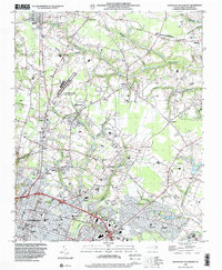
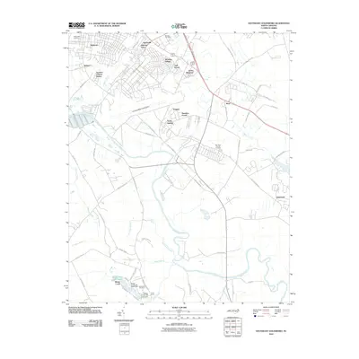
 1982 Southeast Goldsboro1983 Print · USGSGoldsboro and its southern outskirts are shown in the early eighties as military and suburban life intersected with the Neuse River lowlands. Researchers can locate numerous local churches and schools like Atkinson Chapel, Holly Green Ch, and Greenwood Sch.2 unique versions available
 - 1983 Map of Northeast Goldsboro
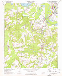
 1983 Northeast Goldsboro1983 Print · USGSGoldsboro and its northeastern suburbs are caught in a moment of rapid growth during the early eighties. Genealogists and historians can trace the foundations of Wayne Community College and Wayne Co Mem Hospital, or locate rural landmarks like Musgrave Crossroads and the Pikeville Cem.
 - 1985 Map of Kinston
 1985 Kinston1985 Print · USGSCoastal plain life and Cold War infrastructure meet in the mid-eighties as the Neuse River winds through agricultural heartlands. Researchers can locate family landmarks like Falling Creek Cem, old milling sites such as Tulls Mill, and the massive Voice of America Radio Towers.2 unique versions available
 - 1986 Map of Fayetteville
 1986 Fayetteville1986 Print · USGSThe North Carolina coastal plain appears in the mid-1980s as a bustling corridor of military installations and historic tobacco towns. Genealogists and historians can trace the footprints of Fort Bragg Military Reservation, Campbell University, and the rail lines of the Seaboard Coast Line RR.2 unique versions available
 - 1998 Map of Northwest Goldsboro, 2001 Print
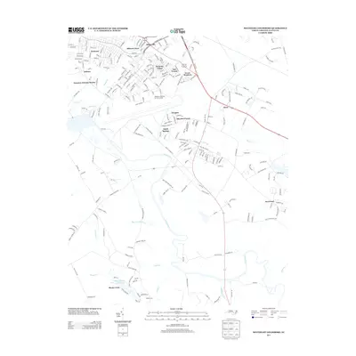
 1998 Northwest Goldsboro2001 Print · USGSWayne County at the close of the century shows a landscape where the Little River meets the Neuse River west of Goldsboro. Researchers can trace historic local institutions and rural community centers like Cherry Hospital, Rosewood, and Spring Hill Ch.
 - 1998 Map of Northeast Goldsboro, 2001 Print
 1998 Northeast Goldsboro2001 Print · USGSWayne County saw steady suburban growth in the late nineties as the residential and institutional reach of Goldsboro moved north. Genealogists can trace local roots through landmarks like Pikeville Cem, Parker Chapel, and the historic crossroads at Patetown.
 - 1998 Map of Southeast Goldsboro, 2001 Print
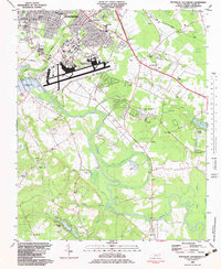
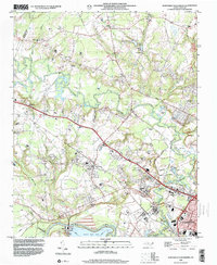
 1998 Southeast Goldsboro2001 Print · USGSGoldsboro and its southern environs appear here in the late twentieth century, centered on the massive Seymour Johnson Air Force Base. Researchers can locate numerous country congregations and schools like Daniels Mem Ch, Emmaus Ch, and Meadow Lane Sch.
 - 1998 Map of Southwest Goldsboro, 2001 Print
 1998 Southwest Goldsboro2001 Print · USGSWayne County comes into focus in the late nineties as residential growth reaches south of the river. Genealogists can trace family names at Stevens Mill and Overman, or find local congregations like Black Jack Grove Ch and Providence Ch.
 - 2010 Map of Southwest Goldsboro, 2010 Print
 2010 Southwest Goldsboro2010 Print · USGSCovers Goldsboro, including Lakewood Estates, Mar-Mac Village, and other nearby areas
 - 2010 Map of Northwest Goldsboro, 2010 Print
 2010 Northwest Goldsboro2010 Print · USGSCovers Goldsboro, including Pike Crossroads, Quaker Neck Estates, and other nearby areas
 - 2010 Map of Southeast Goldsboro, 2010 Print
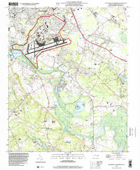
 2010 Southeast Goldsboro2010 Print · USGSCovers Goldsboro, including Walnut Creek, Sheridan Forest, and other nearby areas
 - 2010 Map of Northeast Goldsboro, 2010 Print
 2010 Northeast Goldsboro2010 Print · USGSCovers Goldsboro, including Pikeville, Winbon Acres, and other nearby areas
 - 2013 Map of Southeast Goldsboro, 2013 Print
 2013 Southeast Goldsboro2013 Print · USGSCovers Goldsboro, including Walnut Creek, Sheridan Forest, and other nearby areas
 - 2013 Map of Northeast Goldsboro, 2013 Print
 2013 Northeast Goldsboro2013 Print · USGSCovers Goldsboro, including Pikeville, Winbon Acres, and other nearby areas
 - 2013 Map of Northwest Goldsboro, 2013 Print
 2013 Northwest Goldsboro2013 Print · USGSCovers Goldsboro, including Pike Crossroads, Quaker Neck Estates, and other nearby areas
 - 2013 Map of Southwest Goldsboro, 2013 Print
 2013 Southwest Goldsboro2013 Print · USGSCovers Goldsboro, including Lakewood Estates, Mar-Mac Village, and other nearby areas
 - 2016 Map of Northwest Goldsboro, 2016 Print
 2016 Northwest Goldsboro2016 Print · USGSCovers Goldsboro, including Pike Crossroads, Quaker Neck Estates, and other nearby areas
 - 2016 Map of Southwest Goldsboro, 2016 Print
 2016 Southwest Goldsboro2016 Print · USGSCovers Goldsboro, including Lakewood Estates, Mar-Mac Village, and other nearby areas
Showing maps 1-25 of 35
Top cities near Goldsboro
- Mount Olive historical maps
- La Grange historical maps
- Fremont historical maps
- Kenly historical maps
- Princeton historical maps
- Walnut Creek historical maps
See more
Top neighborhoods of Goldsboro
- Adamsville historical maps
- Airboro historical maps
- Seymour Johnson Homes historical maps
- Green Meadows historical maps
- Hillcrest Farm historical maps
- McArthur Manor historical maps
See more
Frequently asked questions
- What are the different types of historical maps available for Goldsboro?
- What is the oldest map of Goldsboro?
- Where can I purchase historical maps of Goldsboro for my home or office?
- Where can I download high-res historical maps of Goldsboro?
- Are there historical topographic maps available for Goldsboro?
- Is there historical aerial imagery available for Goldsboro?
- Where are historical maps of Goldsboro sourced from?