Old Maps of Stevens Mill, North Carolina for Genealogy
Trace your family roots with 10 historic maps of Stevens Mill. These high-res maps reveal old neighborhoods, homesites, landmarks, and streets — helping you uncover where your ancestors lived and how the area evolved over time.
- Explore historic neighborhoods: Identify where your relatives may have lived in the 1800s or 1900s.
- Compare maps over time: Trace the changes in streets, buildings, and landmarks for multi-generational research.
- Perfect for genealogy & ancestry research: Used by family historians and researchers to map out lineage and migration.
These maps are an incredible resource for exploring your personal connection to Stevens Mill's past.
Stevens Mill, NC maps
(10)- 1953 Map of Raleigh, 1965 Print
 1953 Raleigh1965 Print · USGSCentral North Carolina in the early sixties shows a landscape of growing towns and military hubs before the full expansion of the interstate system. Genealogists can trace family footprints across the Piedmont through Wake Forest, Siler City, and the large Fort Bragg Military Reservation.4 unique versions available
 - 1954 Map of Raleigh
 1954 Raleigh1954 Print · USGSThe North Carolina Piedmont and Sandhills are captured in the mid-fifties during a period of steady regional growth. Genealogists and historians can trace the development of towns like Siler City or locate landmarks such as Falls of Neuse and Camp Mackall.
 - 1974 Map of Southwest Goldsboro, 1976 Print
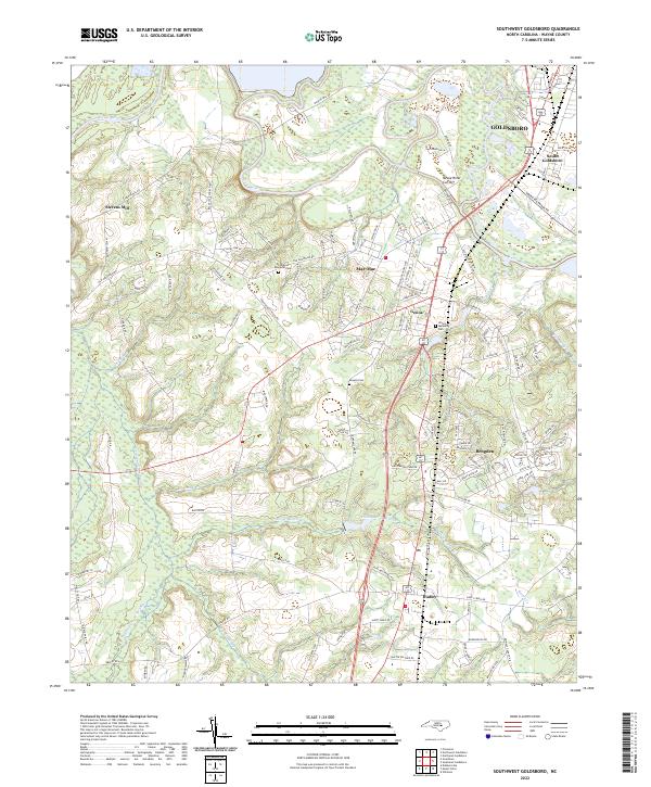
 1974 Southwest Goldsboro1976 Print · USGSWayne County in the mid-seventies is a landscape of river-bottom swamps and growing rural towns along the rail lines. Genealogists can trace family landmarks and congregations from Dudley up to Genoa, including St Matthews Ch, Augusta Ch, and the Wayne Mem Park.2 unique versions available
 - 1986 Map of Fayetteville
 1986 Fayetteville1986 Print · USGSThe North Carolina coastal plain appears in the mid-1980s as a bustling corridor of military installations and historic tobacco towns. Genealogists and historians can trace the footprints of Fort Bragg Military Reservation, Campbell University, and the rail lines of the Seaboard Coast Line RR.2 unique versions available
 - 1998 Map of Southwest Goldsboro, 2001 Print
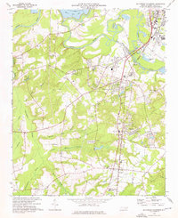
 1998 Southwest Goldsboro2001 Print · USGSWayne County comes into focus in the late nineties as residential growth reaches south of the river. Genealogists can trace family names at Stevens Mill and Overman, or find local congregations like Black Jack Grove Ch and Providence Ch.
 - 2010 Map of Southwest Goldsboro, 2010 Print
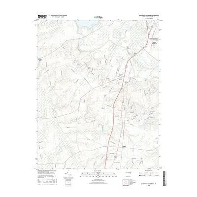
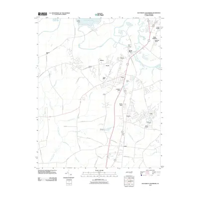 2010 Southwest Goldsboro2010 Print · USGSCovers Stevens Mill, including Goldsboro, Lakewood Estates, and other nearby areas
 - 2013 Map of Southwest Goldsboro, 2013 Print
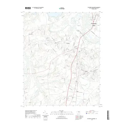
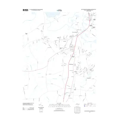 2013 Southwest Goldsboro2013 Print · USGSCovers Stevens Mill, including Goldsboro, Lakewood Estates, and other nearby areas
 - 2016 Map of Southwest Goldsboro, 2016 Print
 2016 Southwest Goldsboro2016 Print · USGSCovers Stevens Mill, including Goldsboro, Lakewood Estates, and other nearby areas
 - 2019 Map of Southwest Goldsboro, 2019 Print
 2019 Southwest Goldsboro2019 Print · USGSCovers Stevens Mill, including Goldsboro, Lakewood Estates, and other nearby areas
 - 2022 Map of Southwest Goldsboro, 2022 Print
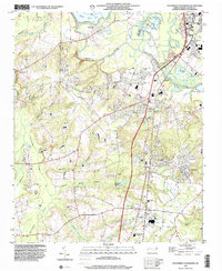
 2022 Southwest Goldsboro2022 Print · USGSWayne County's riverfront and agricultural outskirts are captured in this modern survey of the communities south of the Neuse. Genealogists and researchers can trace local family landmarks such as Rhodes Cem and the settlements of Brogden, Genoa, and Stevens Mill.
End of results
Showing maps 1-10 of 10
Top cities near Stevens Mill
- Goldsboro historical maps
- Smithfield historical maps
- Selma historical maps
- Mount Olive historical maps
- Pine Level historical maps
- Fremont historical maps
See more
Frequently asked questions
- What are the different types of historical maps available for Stevens Mill?
- What is the oldest map of Stevens Mill?
- Where can I purchase historical maps of Stevens Mill for my home or office?
- Where can I download high-res historical maps of Stevens Mill?
- Are there historical topographic maps available for Stevens Mill?
- Is there historical aerial imagery available for Stevens Mill?
- Where are historical maps of Stevens Mill sourced from?