Old Maps of Walnut Creek, North Carolina for Genealogy
Trace your family roots with 17 historic maps of Walnut Creek. These high-res maps reveal old neighborhoods, homesites, landmarks, and streets — helping you uncover where your ancestors lived and how the area evolved over time.
- Explore historic neighborhoods: Identify where your relatives may have lived in the 1800s or 1900s.
- Compare maps over time: Trace the changes in streets, buildings, and landmarks for multi-generational research.
- Perfect for genealogy & ancestry research: Used by family historians and researchers to map out lineage and migration.
These maps are an incredible resource for exploring your personal connection to Walnut Creek's past.
Walnut Creek, NC maps
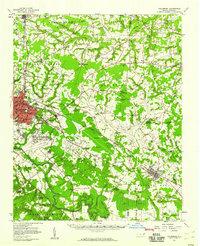
(17)- 1953 Map of Rocky Mount, 1964 Print
 1953 Rocky Mount1964 Print · USGSEastern North Carolina in the mid-fifties is defined by its deep river basins and the vast wetlands of the Tidewater. Genealogists can trace family roots through hubs like Kinston and New Bern or explore the wilderness of Pettigrew State Park and Lake Mattamuskeet.4 unique versions available
 - 1954 Map of Rocky Mount
 1954 Rocky Mount1954 Print · USGSEastern North Carolina is mapped in the mid-fifties, showing a landscape of sounds, swamps, and steam-era rail lines. Genealogists can trace the rural road networks and rail spurs connecting towns like Tarboro, Greenville, and the remote Columbia.
 - 1957 Map of Goldsboro, 1958 Print
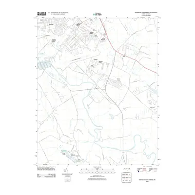
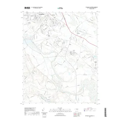
 1957 Goldsboro1958 Print · USGSGoldsboro and the surrounding tobacco and timber lands are captured here in the mid-fifties as the local rail network and military presence shaped Wayne County. Genealogists can locate family landmarks like Old Smoky Cem, Garris Chapel, and Mays Store across the rural landscape.2 unique versions available
 - 1982 Map of Southeast Goldsboro, 1983 Print
 1982 Southeast Goldsboro1983 Print · USGSGoldsboro and its southern outskirts are shown in the early eighties as military and suburban life intersected with the Neuse River lowlands. Researchers can locate numerous local churches and schools like Atkinson Chapel, Holly Green Ch, and Greenwood Sch.2 unique versions available
 - 1983 Map of La Grange
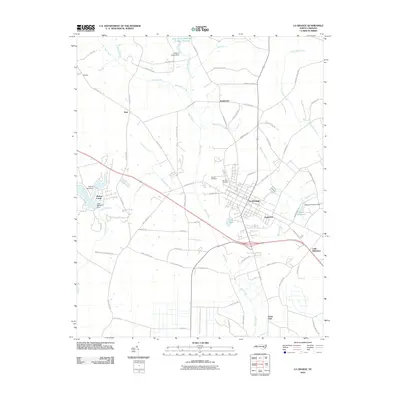
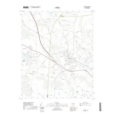
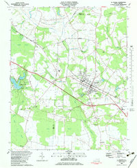 1983 La Grange1983 Print · USGSThe town of La Grange and its surrounding crossroads are captured here in the early eighties. Genealogists and local historians can trace the rural church network, including Jackson Chapel and White Oak Grove Ch, or locate small settlements like Best and Little Baltimore.
 - 1985 Map of Kinston
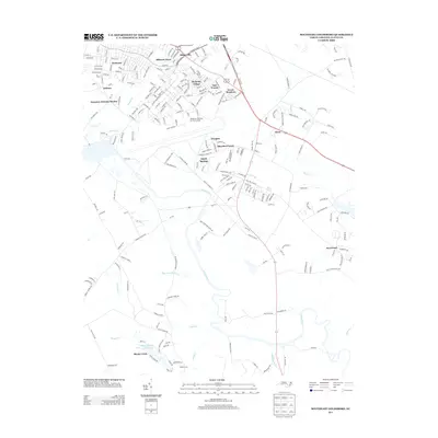
 1985 Kinston1985 Print · USGSCoastal plain life and Cold War infrastructure meet in the mid-eighties as the Neuse River winds through agricultural heartlands. Researchers can locate family landmarks like Falling Creek Cem, old milling sites such as Tulls Mill, and the massive Voice of America Radio Towers.2 unique versions available
 - 1998 Map of Southeast Goldsboro, 2001 Print
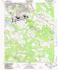
 1998 Southeast Goldsboro2001 Print · USGSGoldsboro and its southern environs appear here in the late twentieth century, centered on the massive Seymour Johnson Air Force Base. Researchers can locate numerous country congregations and schools like Daniels Mem Ch, Emmaus Ch, and Meadow Lane Sch.
 - 2010 Map of La Grange, 2010 Print
 2010 La Grange2010 Print · USGSCovers Walnut Creek, including La Grange, Best, and other nearby areas
 - 2010 Map of Southeast Goldsboro, 2010 Print
 2010 Southeast Goldsboro2010 Print · USGSCovers Walnut Creek, including Goldsboro, Sheridan Forest, and other nearby areas
 - 2013 Map of Southeast Goldsboro, 2013 Print
 2013 Southeast Goldsboro2013 Print · USGSCovers Walnut Creek, including Goldsboro, Sheridan Forest, and other nearby areas
 - 2013 Map of La Grange, 2013 Print
 2013 La Grange2013 Print · USGSCovers Walnut Creek, including La Grange, Best, and other nearby areas
 - 2016 Map of Southeast Goldsboro, 2016 Print
 2016 Southeast Goldsboro2016 Print · USGSCovers Walnut Creek, including Goldsboro, Sheridan Forest, and other nearby areas
 - 2016 Map of La Grange, 2016 Print
 2016 La Grange2016 Print · USGSCovers Walnut Creek, including La Grange, Best, and other nearby areas
 - 2019 Map of La Grange, 2019 Print
 2019 La Grange2019 Print · USGSCovers Walnut Creek, including La Grange, Best, and other nearby areas
 - 2019 Map of Southeast Goldsboro, 2019 Print
 2019 Southeast Goldsboro2019 Print · USGSCovers Walnut Creek, including Goldsboro, Sheridan Forest, and other nearby areas
 - 2022 Map of La Grange, 2022 Print
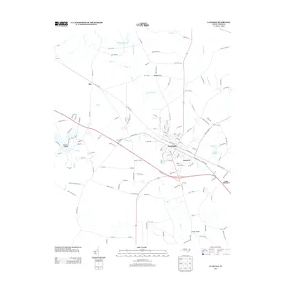
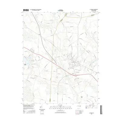
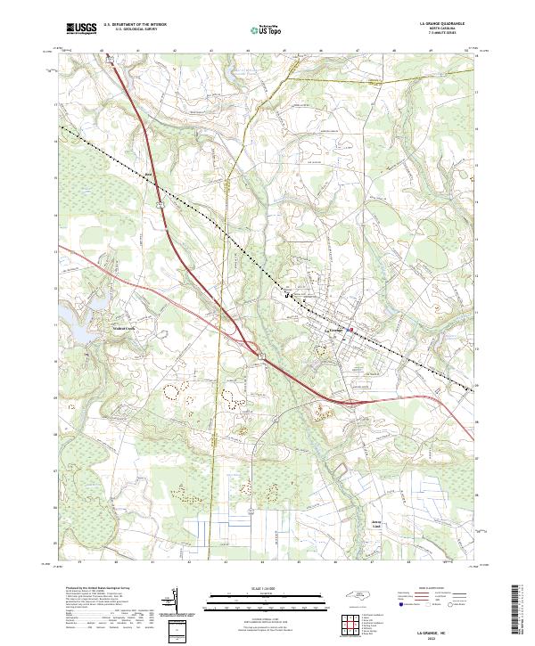 2022 La Grange2022 Print · USGSThe eastern Coastal Plain at the junction of Wayne, Greene, and Lenoir Counties is shown in the early 2020s. Researchers can trace the layout of La Grange and locate rural landmarks like Walters Millpond, Old Lagrange Cem, and Jones Pocosin.
 - 2022 Map of Southeast Goldsboro, 2022 Print
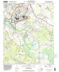
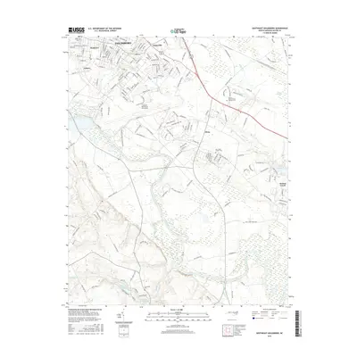
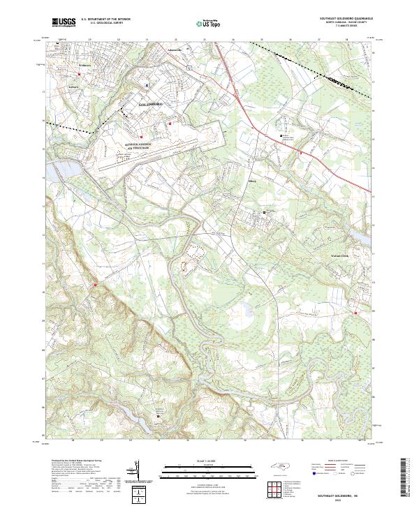 2022 Southeast Goldsboro2022 Print · USGSSoutheast of Goldsboro in the early 2020s, the landscape is a mix of military infrastructure and coastal plain wetlands. Researchers can trace the boundaries of Seymour Johnson Air Force Base or locate family sites at Willow Dale Cem and New Hope Friends Cem.
End of results
Showing maps 1-17 of 17
Top cities near Walnut Creek
- Goldsboro historical maps
- Kinston historical maps
- Mount Olive historical maps
- La Grange historical maps
- Snow Hill historical maps
- Pikeville historical maps
See more
Frequently asked questions
- What are the different types of historical maps available for Walnut Creek?
- What is the oldest map of Walnut Creek?
- Where can I purchase historical maps of Walnut Creek for my home or office?
- Where can I download high-res historical maps of Walnut Creek?
- Are there historical topographic maps available for Walnut Creek?
- Is there historical aerial imagery available for Walnut Creek?
- Where are historical maps of Walnut Creek sourced from?