Old Maps of Windy Gap, North Carolina for Metal Detecting
Plan your next treasure hunt with 12 historic maps of Windy Gap. Find old homesites, ghost towns, trails, and gathering spots that may be lost to time — perfect for identifying promising metal detecting locations.
- Locate forgotten sites: Uncover places like long-lost settlements, abandoned rail lines, or gathering spots.
- Plan better hunts: Use map overlays combined with LiDAR or satellite views to narrow in on historically rich areas.
- Made for detectorists: Thousands of hobbyists use these maps to discover relics, coins, and hidden history.
Use these historic maps to boost your research and find new opportunities beneath the surface of Windy Gap.
Windy Gap, NC maps
(12)- 1891 Map of Yadkinville, 1964 Print
 1891 Yadkinville1964 Print · USGSSurry and Yadkin counties are shown here in the late nineteenth century as the river-and-rail economy began to reshape the Piedmont. Genealogists can trace family landmarks and early crossings like Kapps Mill, Poindexter Ferry, and Cross Roads Church.
 - 1893 Map of Yadkinville, 1944 Print
 1893 Yadkinville1944 Print · USGSNorthwest North Carolina at the close of the nineteenth century was a landscape of river-dependent commerce and mountain ridges. Researchers can trace the early industrial footprint of Kapps Mill, locate remote river crossings like Douglass Ford, and follow the progress of the Cape Fear and Yadkin Valley Railroad.
 - 1953 Map of Winston-Salem, 1974 Print
 1953 Winston-Salem1974 Print · USGSThe North Carolina Piedmont and Virginia highlands meet in the mid-1950s, a landscape defined by the tobacco and textile hubs of the Blue Ridge foothills. Researchers can trace the rail-and-river geography connecting Winston-Salem to mountain towns like Mount Airy and Galax.2 unique versions available
 - 1955 Map of Winston-Salem
 1955 Winston-Salem1955 Print · USGSThe Central Blue Ridge and Piedmont transition are captured here in the mid-fifties, from the industrial hub of Winston-Salem to the high peaks of Southwest Virginia. Genealogists can trace family landmarks like Richmond Hill Ch, Siloam Ch, and the old rail stops along the Southern Railway.
 - 1962 Map of Winston-Salem
 1962 Winston-Salem1962 Print · USGSThe North Carolina Piedmont meets the Virginia highlands in the early sixties, showing the rail corridors and mountain gaps of the southern Appalachians. Researchers can trace the Blue Ridge Parkway or locate family sites near Winston-Salem, Mount Airy, and Hanging Rock Mountain.
 - 1984 Map of Winston-Salem, 1985 Print
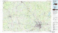 1984 Winston-Salem1985 Print · USGSThe North Carolina Piedmont in the mid-1980s shows the growth of Winston-Salem and the busy rail corridors of the Southern Railway. Genealogists and local historians can trace family-named lands and rural communities from Yadkinville to Mount Airy.2 unique versions available
 - 1997 Map of Osbornville, 2000 Print
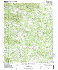 1997 Osbornville2000 Print · USGSOsbornville and the eastern Brushy Mountains are shown at the end of the century as a network of crossroads communities and highland farms. Genealogists can trace family footprints near Smyrna Chapel, Somers Crossroads, and the rural homes surrounding New Hope.
 - 2010 Map of Osbornville, 2010 Print
 2010 Osbornville2010 Print · USGSIredell County’s foothills are shown here at the turn of the millennium, a landscape defined by small crossroads and named ridges. Genealogists can trace family connections through landmarks like Osbornville, New Hope, and the historical Somers School Rd.
 - 2013 Map of Osbornville, 2013 Print
 2013 Osbornville2013 Print · USGSOsbornville and the foothills of Iredell County are shown in detail during the early twenty-first century. Researchers can trace rural community centers like Somers Crossroads and New Hope or locate specific local landmarks such as Mathis Lake and Roberts Mountain.
 - 2016 Map of Osbornville, 2016 Print
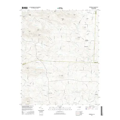 2016 Osbornville2016 Print · USGSThe foothills of the Brushy Mountains come into focus in the mid-2010s at the junction of Wilkes, Yadkin, and Iredell Counties. Researchers can trace rural lineages through local landmarks like Somers Crossroads, New Hope, and Mathis Lake.
 - 2019 Map of Osbornville, 2019 Print
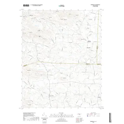 2019 Osbornville2019 Print · USGSThe foothills of the Brushy Mountains come into focus in this recent look at the rural intersection of Wilkes, Iredell, and Yadkin counties. Researchers can trace local heritage through landmarks like Somers School Rd, the community at New Hope, and the crossroads at Osbornville.
 - 2022 Map of Osbornville, 2022 Print
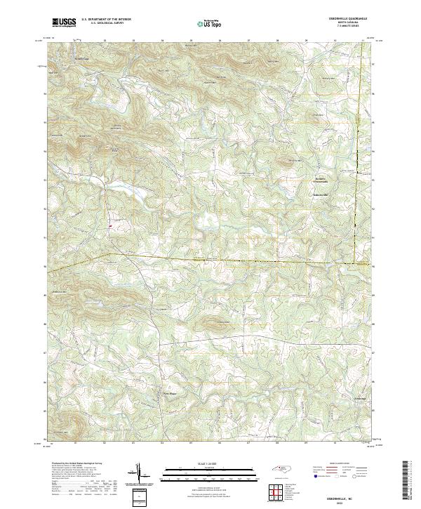 2022 Osbornville2022 Print · USGSSettlement in southern Wilkes County centers on rural crossroads and mountain gaps at the turn of the twenty-first century. Genealogists can trace local family landmarks through Cooter Hollow, Windy Gap, and the old Somers Crossroads.
End of results
Showing maps 1-12 of 12
Top cities near Windy Gap
- North Wilkesboro historical maps
- Wilkesboro historical maps
- Jonesville historical maps
- Taylorsville historical maps
- Harmony historical maps
- Ronda historical maps
See more
Frequently asked questions
- What are the different types of historical maps available for Windy Gap?
- What is the oldest map of Windy Gap?
- Where can I purchase historical maps of Windy Gap for my home or office?
- Where can I download high-res historical maps of Windy Gap?
- Are there historical topographic maps available for Windy Gap?
- Is there historical aerial imagery available for Windy Gap?
- Where are historical maps of Windy Gap sourced from?