Old Maps of Aycock Crossing, North Carolina for Academic Research
Study the evolution of Aycock Crossing with 12 high-resolution historic maps. Whether you're teaching, researching, or modeling changes in land use, these maps provide essential visual documentation of urban, environmental, and geographic change.
- Analyze long-term change: Track patterns in development, transportation, and natural features.
- Ideal for environmental or urban studies: Support academic projects with primary historical map data.
- Use in the classroom or lab: Educators and researchers rely on these maps to bring historical context to life.
These maps are a powerful tool for teaching, research, and visualizing how Aycock Crossing has changed over the decades.
Aycock Crossing, NC maps
(12)- 1902 Map of Kenly
 1902 Kenly1902 Print · USGSCoastal plain settlements in Johnston and Wilson Counties flourished along the rail lines during the early nineteen-hundreds. Genealogists can locate family landmarks like Moores Crossroads and Hares Crossroads or trace the Atlantic Coast Line through Kenly and Micro.2 unique versions available
 - 1903 Map of Kenly
 1903 Kenly1903 Print · USGSCoastal plain settlements and crossroads thrive along the rail corridors of Johnston and Wilson counties at the dawn of the twentieth century. Genealogists can locate family-named sites like Hornes Mill and Barnes Store or trace the early paths through Beulahtown and Kenly.2 unique versions available
 - 1953 Map of Raleigh, 1965 Print
 1953 Raleigh1965 Print · USGSCentral North Carolina in the early sixties shows a landscape of growing towns and military hubs before the full expansion of the interstate system. Genealogists can trace family footprints across the Piedmont through Wake Forest, Siler City, and the large Fort Bragg Military Reservation.4 unique versions available
 - 1954 Map of Raleigh
 1954 Raleigh1954 Print · USGSThe North Carolina Piedmont and Sandhills are captured in the mid-fifties during a period of steady regional growth. Genealogists and historians can trace the development of towns like Siler City or locate landmarks such as Falls of Neuse and Camp Mackall.
 - 1978 Map of Lucama
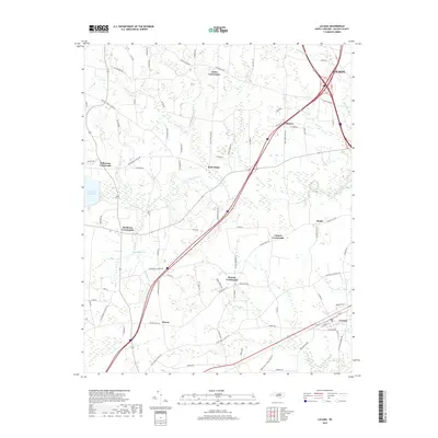
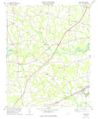 1978 Lucama1978 Print · USGSCoastal plain farming and railroad commerce define this part of Wilson County in the late seventies. Genealogists can trace family roots through dozens of local cemeteries and churches like Nobles Chapel or explore settlements at Rock Ridge and Lucama.
 - 1984 Map of Raleigh, 1985 Print
 1984 Raleigh1985 Print · USGSThe North Carolina Research Triangle is shown during a decade of rapid growth, from the sprawl of Raleigh to the expanding waters of Falls Lake. Genealogists and historians can trace rail lines like the Seaboard Coast Line or locate landmark sites like Dorothea Dix State Hospital and Fuquay-Varina.
 - 1990 Map of Raleigh, 1991 Print
 1990 Raleigh1991 Print · USGSGreater Raleigh and the Research Triangle entered a period of significant suburban growth during the 1990s. Researchers can trace the development of towns like Fuquay-Varina and Wake Forest or locate landmarks such as the State Prison and Harris Reservoir.2 unique versions available
 - 2010 Map of Lucama, 2010 Print
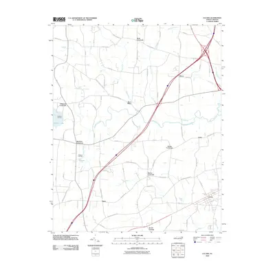 2010 Lucama2010 Print · USGSCovers Aycock Crossing, including Wilson, Lucama, and other nearby areas
 - 2013 Map of Lucama, 2013 Print
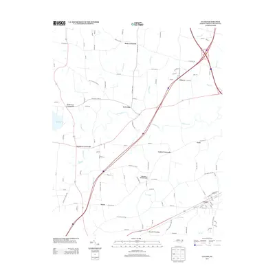 2013 Lucama2013 Print · USGSCovers Aycock Crossing, including Wilson, Lucama, and other nearby areas
 - 2016 Map of Lucama, 2016 Print
 2016 Lucama2016 Print · USGSCovers Aycock Crossing, including Wilson, Lucama, and other nearby areas
 - 2019 Map of Lucama, 2019 Print
 2019 Lucama2019 Print · USGSCovers Aycock Crossing, including Wilson, Lucama, and other nearby areas
 - 2022 Map of Lucama, 2022 Print
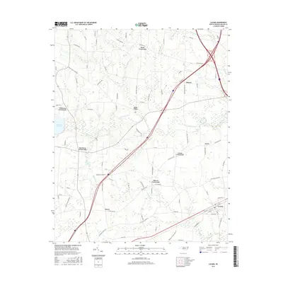
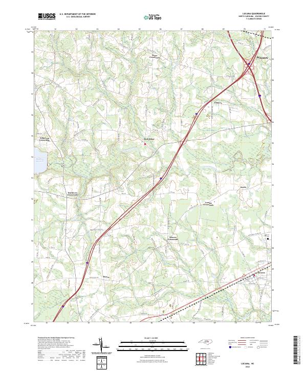 2022 Lucama2022 Print · USGSLucama and the rural Wilson County countryside are captured here as they appeared in the early 2020s. Modern researchers can trace family landmarks and local transit hubs like Stotts Crossroads, the Radford Rd Cem, and the waters of Contentnea Creek.
End of results
Showing maps 1-12 of 12
Top cities near Aycock Crossing
- Wilson historical maps
- Goldsboro historical maps
- Zebulon historical maps
- Selma historical maps
- Pine Level historical maps
- Fremont historical maps
See more
Frequently asked questions
- What are the different types of historical maps available for Aycock Crossing?
- What is the oldest map of Aycock Crossing?
- Where can I purchase historical maps of Aycock Crossing for my home or office?
- Where can I download high-res historical maps of Aycock Crossing?
- Are there historical topographic maps available for Aycock Crossing?
- Is there historical aerial imagery available for Aycock Crossing?
- Where are historical maps of Aycock Crossing sourced from?