Old Maps of Lucama, North Carolina for Metal Detecting
Plan your next treasure hunt with 23 historic maps of Lucama. Find old homesites, ghost towns, trails, and gathering spots that may be lost to time — perfect for identifying promising metal detecting locations.
- Locate forgotten sites: Uncover places like long-lost settlements, abandoned rail lines, or gathering spots.
- Plan better hunts: Use map overlays combined with LiDAR or satellite views to narrow in on historically rich areas.
- Made for detectorists: Thousands of hobbyists use these maps to discover relics, coins, and hidden history.
Use these historic maps to boost your research and find new opportunities beneath the surface of Lucama.
Lucama, NC maps
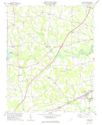
(23)- 1902 Map of Kenly
 1902 Kenly1902 Print · USGSCoastal plain settlements in Johnston and Wilson Counties flourished along the rail lines during the early nineteen-hundreds. Genealogists can locate family landmarks like Moores Crossroads and Hares Crossroads or trace the Atlantic Coast Line through Kenly and Micro.2 unique versions available
 - 1903 Map of Kenly
 1903 Kenly1903 Print · USGSCoastal plain settlements and crossroads thrive along the rail corridors of Johnston and Wilson counties at the dawn of the twentieth century. Genealogists can locate family-named sites like Hornes Mill and Barnes Store or trace the early paths through Beulahtown and Kenly.2 unique versions available
 - 1904 Map of Wilson, 1942 Print
 1904 Wilson1942 Print · USGSCoastal plain settlements and tobacco-country rail lines emerge in this turn-of-the-century look at eastern North Carolina. Genealogists and historians can trace the early footprints of Wilson, Stantonsburg, and Eureka alongside the Atlantic Coast Line railroad.3 unique versions available
 - 1953 Map of Rocky Mount, 1964 Print
 1953 Rocky Mount1964 Print · USGSEastern North Carolina in the mid-fifties is defined by its deep river basins and the vast wetlands of the Tidewater. Genealogists can trace family roots through hubs like Kinston and New Bern or explore the wilderness of Pettigrew State Park and Lake Mattamuskeet.4 unique versions available
 - 1953 Map of Raleigh, 1965 Print
 1953 Raleigh1965 Print · USGSCentral North Carolina in the early sixties shows a landscape of growing towns and military hubs before the full expansion of the interstate system. Genealogists can trace family footprints across the Piedmont through Wake Forest, Siler City, and the large Fort Bragg Military Reservation.4 unique versions available
 - 1954 Map of Rocky Mount
 1954 Rocky Mount1954 Print · USGSEastern North Carolina is mapped in the mid-fifties, showing a landscape of sounds, swamps, and steam-era rail lines. Genealogists can trace the rural road networks and rail spurs connecting towns like Tarboro, Greenville, and the remote Columbia.
 - 1954 Map of Raleigh
 1954 Raleigh1954 Print · USGSThe North Carolina Piedmont and Sandhills are captured in the mid-fifties during a period of steady regional growth. Genealogists and historians can trace the development of towns like Siler City or locate landmarks such as Falls of Neuse and Camp Mackall.
 - 1978 Map of Lucama
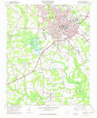
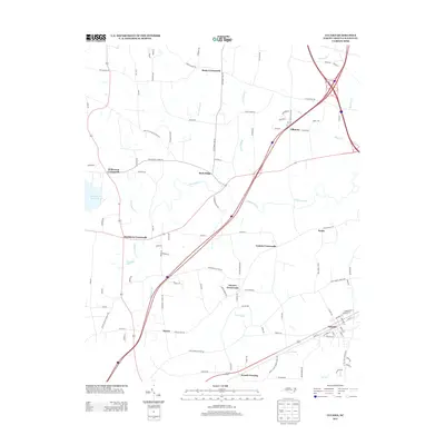
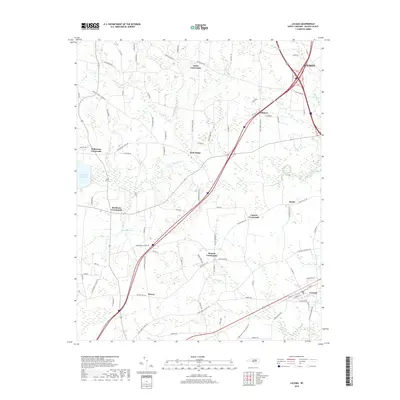
 1978 Lucama1978 Print · USGSCoastal plain farming and railroad commerce define this part of Wilson County in the late seventies. Genealogists can trace family roots through dozens of local cemeteries and churches like Nobles Chapel or explore settlements at Rock Ridge and Lucama.
 - 1978 Map of Wilson, 1979 Print
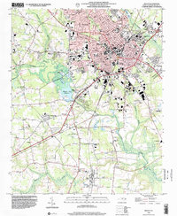
 1978 Wilson1979 Print · USGSThe city of WILSON and its outlying communities are captured in the late seventies as a busy rail and institutional hub. Researchers can trace the legacy of local education and faith through sites like Atlantic Christian College, Darden High Sch, and Lower Black Creek Ch.
 - 1984 Map of Raleigh, 1985 Print
 1984 Raleigh1985 Print · USGSThe North Carolina Research Triangle is shown during a decade of rapid growth, from the sprawl of Raleigh to the expanding waters of Falls Lake. Genealogists and historians can trace rail lines like the Seaboard Coast Line or locate landmark sites like Dorothea Dix State Hospital and Fuquay-Varina.
 - 1985 Map of Rocky Mount
 1985 Rocky Mount1985 Print · USGSThe eastern North Carolina coastal plain in the mid-eighties shows a landscape defined by its river-and-rail heritage. Genealogists and local historians can trace the development of Rocky Mount, Greenville, and Wilson, or locate landmarks like East Carolina University and the Voice of America site.2 unique versions available
 - 1990 Map of Raleigh, 1991 Print
 1990 Raleigh1991 Print · USGSGreater Raleigh and the Research Triangle entered a period of significant suburban growth during the 1990s. Researchers can trace the development of towns like Fuquay-Varina and Wake Forest or locate landmarks such as the State Prison and Harris Reservoir.2 unique versions available
 - 1998 Map of Wilson, 2001 Print
 1998 Wilson2001 Print · USGSWilson and the surrounding coastal plain thrive at the close of the century, balancing urban expansion with its deep agricultural roots. Researchers can trace the footprints of community life at Barton College, the rural crossroads of Boswellville, and historic sites like Maplewood Cem.
 - 2010 Map of Lucama, 2010 Print
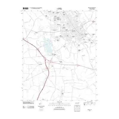
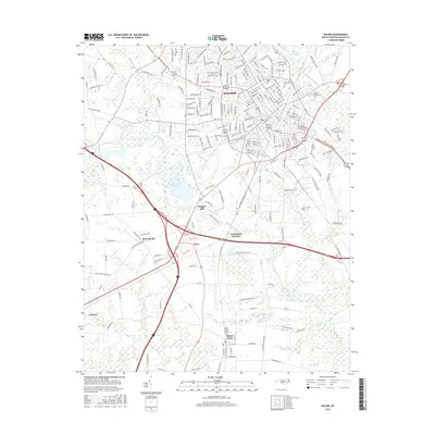
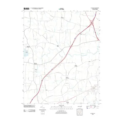 2010 Lucama2010 Print · USGSCovers Lucama, including Wilson, Hawra, and other nearby areas
 - 2010 Map of Wilson, 2010 Print
 2010 Wilson2010 Print · USGSCovers Lucama, including Wilson, Black Creek, and other nearby areas
 - 2013 Map of Wilson, 2013 Print
 2013 Wilson2013 Print · USGSCovers Lucama, including Wilson, Black Creek, and other nearby areas
 - 2013 Map of Lucama, 2013 Print
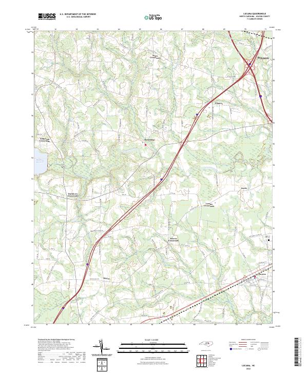
 2013 Lucama2013 Print · USGSCovers Lucama, including Wilson, Hawra, and other nearby areas
 - 2016 Map of Lucama, 2016 Print
 2016 Lucama2016 Print · USGSCovers Lucama, including Wilson, Hawra, and other nearby areas
 - 2016 Map of Wilson, 2016 Print
 2016 Wilson2016 Print · USGSCovers Lucama, including Wilson, Black Creek, and other nearby areas
 - 2019 Map of Wilson, 2019 Print
 2019 Wilson2019 Print · USGSCovers Lucama, including Wilson, Black Creek, and other nearby areas
 - 2019 Map of Lucama, 2019 Print
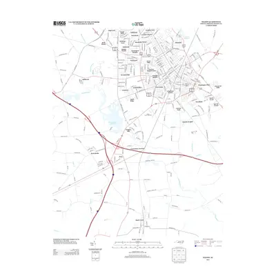
 2019 Lucama2019 Print · USGSCovers Lucama, including Wilson, Hawra, and other nearby areas
 - 2022 Map of Lucama, 2022 Print
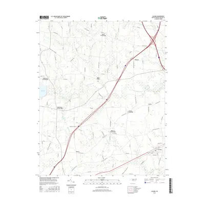
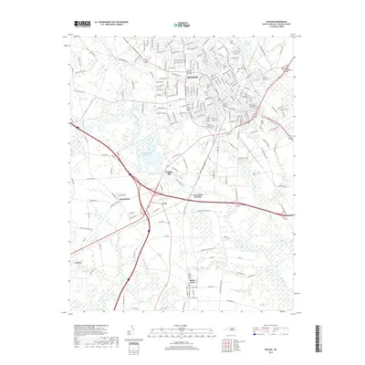
 2022 Lucama2022 Print · USGSLucama and the rural Wilson County countryside are captured here as they appeared in the early 2020s. Modern researchers can trace family landmarks and local transit hubs like Stotts Crossroads, the Radford Rd Cem, and the waters of Contentnea Creek.
 - 2022 Map of Wilson, 2022 Print
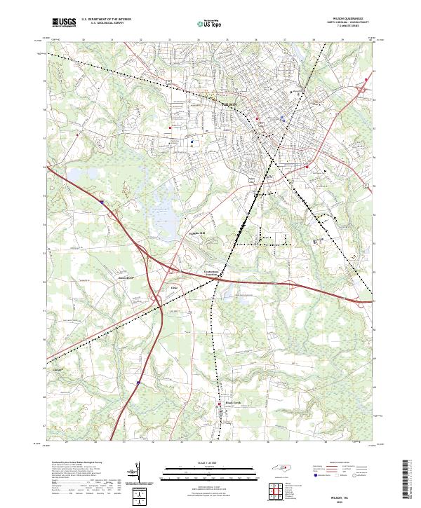 2022 Wilson2022 Print · USGSThe city of Wilson and its southern neighbors appear here in the early 2020s, showing a landscape defined by collegiate campuses and creek-side reservoirs. Researchers can trace family roots at Maplewood Cem or explore rail history at Contentnea Junction and Dixie.
End of results
Showing maps 1-23 of 23
Top cities near Lucama
- Wilson historical maps
- Goldsboro historical maps
- Sharpsburg historical maps
- Fremont historical maps
- Kenly historical maps
- Elm City historical maps
See more
Frequently asked questions
- What are the different types of historical maps available for Lucama?
- What is the oldest map of Lucama?
- Where can I purchase historical maps of Lucama for my home or office?
- Where can I download high-res historical maps of Lucama?
- Are there historical topographic maps available for Lucama?
- Is there historical aerial imagery available for Lucama?
- Where are historical maps of Lucama sourced from?