2000s (21st Century) Maps of Eskota, North Carolina
Explore 5 historic maps of Eskota from the 2000s (21st Century). These maps offer a rare glimpse into what life looked like during the 2000s — showing old roads, neighborhoods, homes, and landmarks that have changed or disappeared over time.
Whether you're researching your family's past, planning a metal detecting trip, or studying how Eskota's landscape evolved across the 2000s, these high-resolution maps are a powerful tool for exploring the history of this region.
- Focus on a specific era: All maps on this page are from the 2000s, giving you a focused view of this time period.
- See what’s changed: Compare century-old streets, trails, and buildings to today's modern landscape using overlays and satellite layers.
- Research with precision: Use these maps for genealogy, historical research, land use analysis, or educational projects.
- View, download, or print: Maps are fully viewable online in high resolution, and can be downloaded or printed for your own records.
Start exploring Eskota's history through authentic maps from the 2000s. This is your window into the past.
Eskota, NC maps
(5)- 2011 Map of Mount Mitchell, 2011 Print
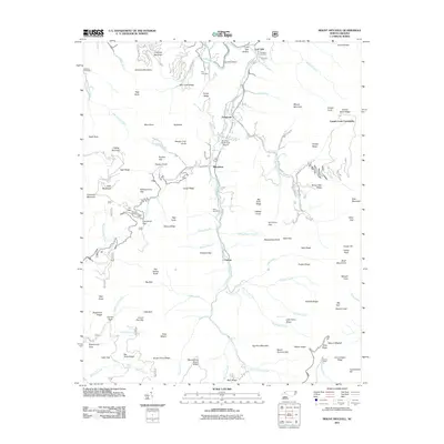 2011 Mount Mitchell2011 Print · USGSCovers Eskota, including Low Gap, Pensacola, and other nearby areas
 - 2013 Map of Mount Mitchell, 2013 Print
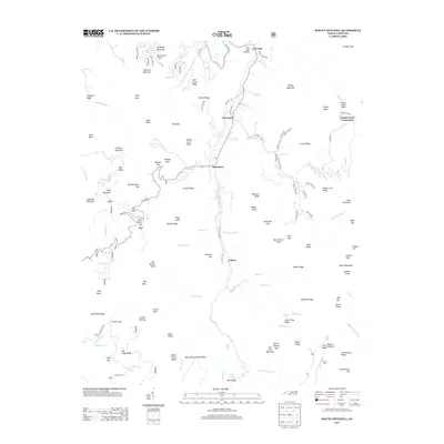 2013 Mount Mitchell2013 Print · USGSCovers Eskota, including Low Gap, Pensacola, and other nearby areas
 - 2016 Map of Mount Mitchell, 2016 Print
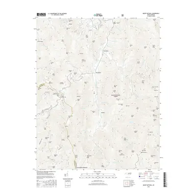 2016 Mount Mitchell2016 Print · USGSCovers Eskota, including Low Gap, Pensacola, and other nearby areas
 - 2019 Map of Mount Mitchell, 2019 Print
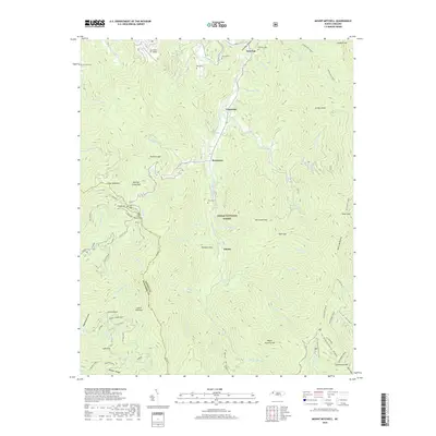 2019 Mount Mitchell2019 Print · USGSCovers Eskota, including Low Gap, Pensacola, and other nearby areas
 - 2022 Map of Mount Mitchell, 2022 Print
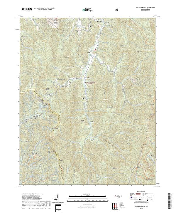 2022 Mount Mitchell2022 Print · USGSThe Black Mountains rise to their highest points in this recent survey of the Yancey and Buncombe county border. Hikers and historians can trace the high-altitude Black Mtn Crest Trl past peaks like Mt Mitchell and find valley cemeteries such as Allen Cem.
End of results
Showing maps 1-5 of 5
Top cities near Eskota
- Asheville historical maps
- Black Mountain historical maps
- Swannanoa historical maps
- Weaverville historical maps
- Mars Hill historical maps
- Spruce Pine historical maps
See more
Frequently asked questions
- What are the different types of historical maps available for Eskota?
- What is the oldest map of Eskota?
- Where can I purchase historical maps of Eskota for my home or office?
- Where can I download high-res historical maps of Eskota?
- Are there historical topographic maps available for Eskota?
- Is there historical aerial imagery available for Eskota?
- Where are historical maps of Eskota sourced from?