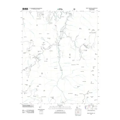
2011 Map of Mount Mitchell
USGS Topo · Published 2011About this map
Mount Mitchell stands as the primary landmark of this 2011 survey, marking the high points of the Black Mountains along with Mount Craig and Big Tom. The settlement of Pensacola is situated along the Cane River, which serves as a central drainage corridor through the terrain. Downstream, the mountain communities of Murchison and Eskota follow the river valley, while the Cattail Creek Community occupies the slopes to the east.
Find a feature on this map
117 named features on this map. Tap any name to fly to it.
Don’t see what you’re looking for? This feature index may not catch every label — zoom into the map to look around manually.
Map Details
Editions of this 2011 Mount Mitchell Map
This is the sole edition of this map. No revisions or reprints were ever made.
Other maps of this area

1900 · Mount Mitchell
USGS Topo · 1:125,000

1902 · Mount Mitchell
USGS Topo · 1:125,000

1934 · Micaville
USGS Topo · 1:24,000

1934 · Parts Of Celo And Black Brothers
USGS Topo · 1:24,000

1934 · Parts Of Old Fort and Montreat
USGS Topo · 1:24,000

1935 · Montreat
USGS Topo · 1:24,000

1935 · Black Brothers
USGS Topo · 1:24,000

1935 · Burnsville
USGS Topo · 1:24,000

1935 · Bald Creek
USGS Topo · 1:24,000

1935 · Barnardsville
USGS Topo · 1:24,000