
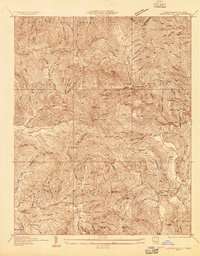
1934 Map of Micaville
USGS Topo · Published 1934About this map
Micaville and the rugged forks of the Toe River dominate this 1934 topographic survey, which captures the mountain communities of Yancey and Mitchell Counties during the mid-depression era. The Clinchfield railroad snakes through the terrain, serving the village of Bandana at Bandana Sta and the industrial activity at Kona. This era predates significant modernization, showing a landscape defined by small-scale resource extraction and rural social hubs.
Find a feature on this map
100 named features on this map. Tap any name to fly to it.
Don’t see what you’re looking for? This feature index may not catch every label — zoom into the map to look around manually.
Map Details
Editions of this 1934 Micaville Map
This is the sole edition of this map. No revisions or reprints were ever made.
Other maps of this area

1891 · Roan Mountain
USGS Topo · 1:125,000

1894 · Roan Mountain
USGS Topo · 1:125,000

1900 · Mount Mitchell
USGS Topo · 1:125,000

1902 · Mount Mitchell
USGS Topo · 1:125,000

1904 · Roan Mountain
USGS Topo · 1:125,000

1934 · Spruce Pine
USGS Topo · 1:24,000

1934 · Parts Of Celo And Black Brothers
USGS Topo · 1:24,000

1934 · Bakersville
USGS Topo · 1:24,000
1934 · Carvers Gap
USGS Topo · 1:24,000

1935 · Black Brothers
USGS Topo · 1:24,000