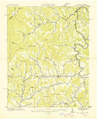
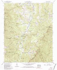
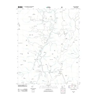
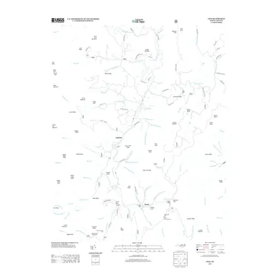
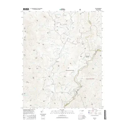
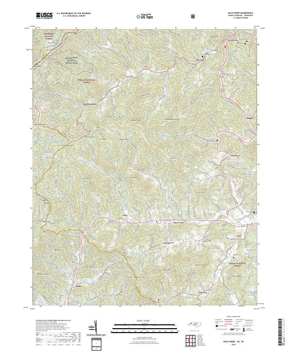
1935 Map of Bald Creek
USGS Topo · Published 1935About this map
Cane River carves a deep path through the highlands of Yancey County, shaping the settlement patterns of this 1935 Tennessee Valley Authority and USGS advance sheet. The landscape is defined by its tight mountain hollows and narrow valley floors, where small communities like Lewisburg, Bee Log, and Bald Creek followed the winding path of State Highway No 693 and State Highway No 69. This era of the mid-1930s shows a dense network of local landmarks essential to mountain life, including Bald Mountain Ch, Horton Hill Sch, and the uniquely named Possumtrot.
Find a feature on this map
108 named features on this map. Tap any name to fly to it.
Don’t see what you’re looking for? This feature index may not catch every label — zoom into the map to look around manually.
Map Details
Editions of this 1935 Bald Creek Map
This is the sole edition of this map. No revisions or reprints were ever made.
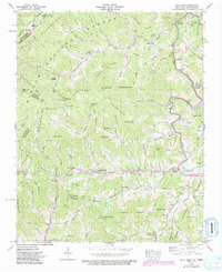
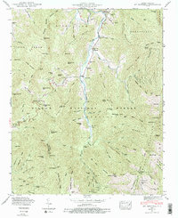
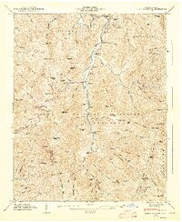
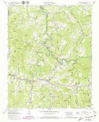
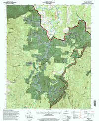
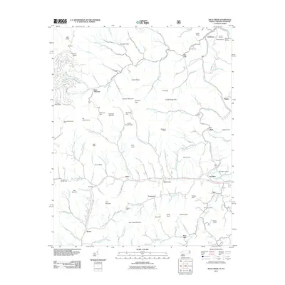
Historical Maps of Cane Through Time
30 maps found

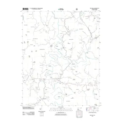
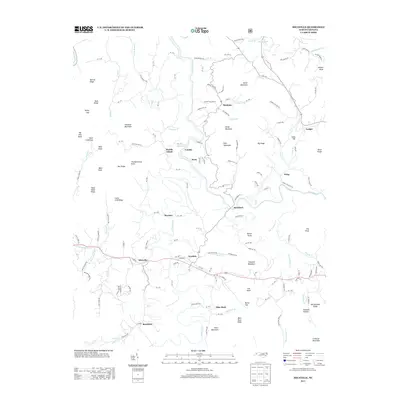
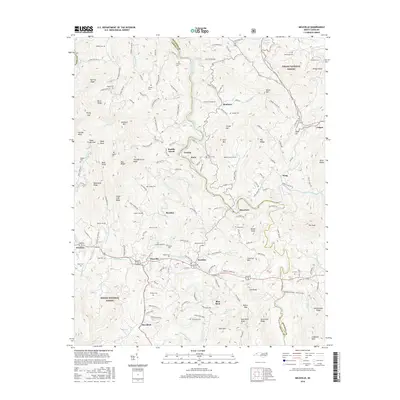
1934 Micaville
Yancey County, NC

1934 Parts Of Celo And Black Brothers
Yancey County, NC
1935 Bald Creek
Yancey County, NC

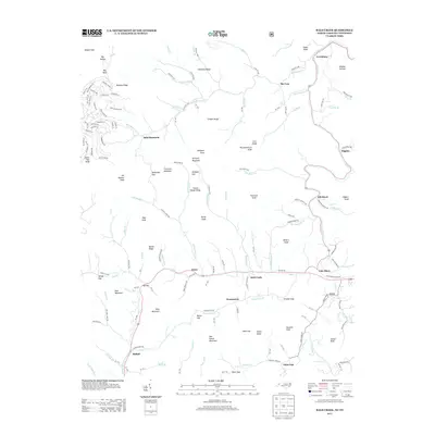
1935 Black Brothers
Yancey County, NC
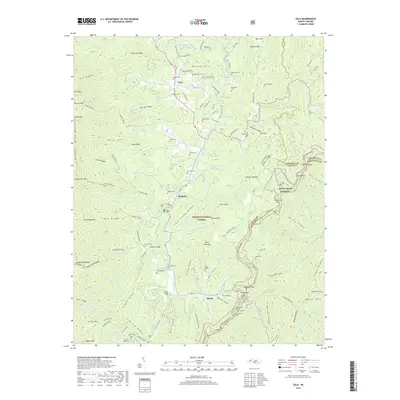
1939 Bald Creek
Yancey County, NC
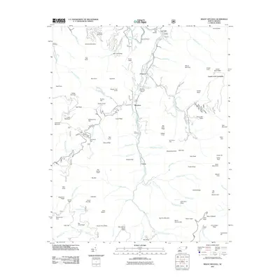
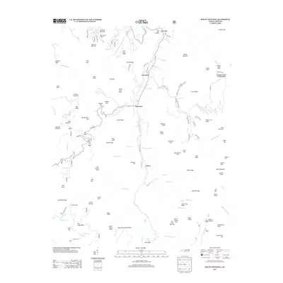
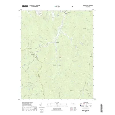
1946 Mt. Mitchell
Yancey County, NC
1947 Black Brothers
Yancey County, NC
1960 Celo
Yancey County, NC
1960 Micaville
Yancey County, NC
1994 Celo
Yancey County, NC
2011 Bald Creek
Yancey County, NC
2011 Celo
Yancey County, NC
2011 Micaville
Yancey County, NC
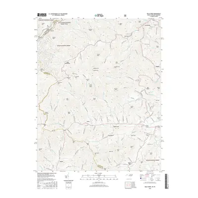
2011 Mount Mitchell
Yancey County, NC
2013 Bald Creek
Yancey County, NC
2013 Celo
Yancey County, NC
2013 Micaville
Yancey County, NC
2013 Mount Mitchell
Yancey County, NC
2016 Bald Creek
Yancey County, NC
2016 Celo
Yancey County, NC
2016 Micaville
Yancey County, NC
2016 Mount Mitchell
Yancey County, NC
2019 Bald Creek
Yancey County, NC
2019 Celo
Yancey County, NC
2019 Micaville
Yancey County, NC
2019 Mount Mitchell
Yancey County, NC
2022 Bald Creek
Yancey County, NC
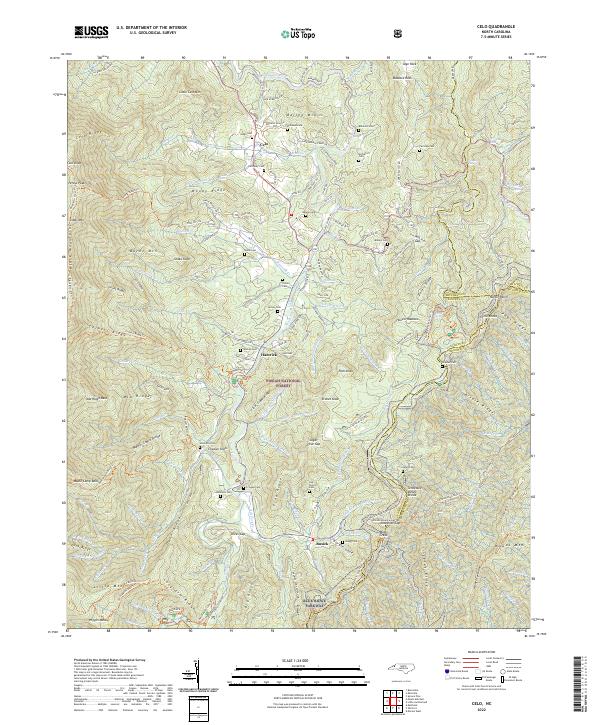
2022 Celo
Yancey County, NC
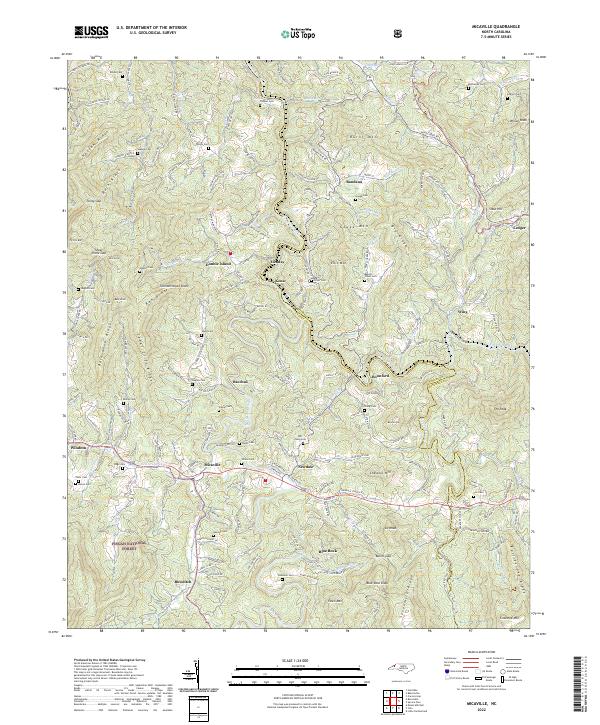
2022 Micaville
Yancey County, NC
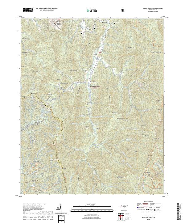
2022 Mount Mitchell
Yancey County, NC